Back to the librarykm 15–16km 21–22km 22–24km 28–29km 34–38km 39–40km 49–49
GravelMade by RouteCasterRound trip
Hills along the Egelseewiesen
Distance
57 km
Ascent
943 m
Highest point
714 m
22% paved
Start from your location
Ride there from home: we find the shortest way to the loop and start the loop from there.
The ride
From Wald you roll out to the Egelseewiesen nature reserve, then on past the Schwackenreuter Baggerseen - Rübelisbach and the Sauldorfer Baggerseen, before the Waltere Moor nature reserve turns you back toward home. Of the 57.1 km, most runs unpaved, and 943 m of climbing keeps the legs honest. Four nature reserves, one loop, and Wald waiting at the end.
Climbs
Climb 1Hill
1 km at 4.6% · max 12.3%
Climb 2Hill
1.3 km at 4.7% · max 16.1%
Climb 3Cat. 4
1.1 km at 11% · max 25.4%
Climb 4Hill
0.6 km at 8.4% · max 16%
Climb 5Cat. 3
4.5 km at 4.4% · max 21.3%
Climb 6Hill
0.8 km at 5.3% · max 10%
Climb 7Hill
0.7 km at 3.7% · max 14.3%
Routes nearby
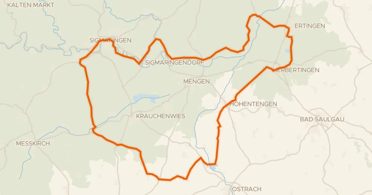
Road bike99% paved
Castles between Sigmaringen and Scheer
77 km↑ 755 m16 km away
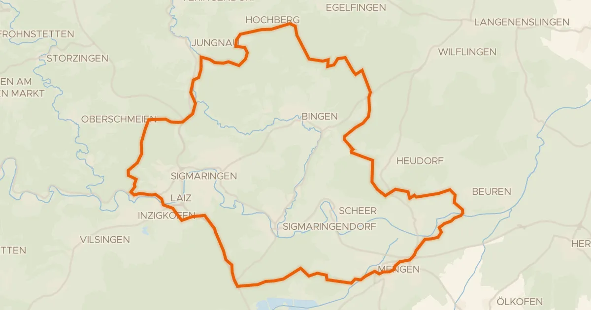
Gravel19% paved
Hills between Mengen and Laiz
60 km↑ 822 m19 km away
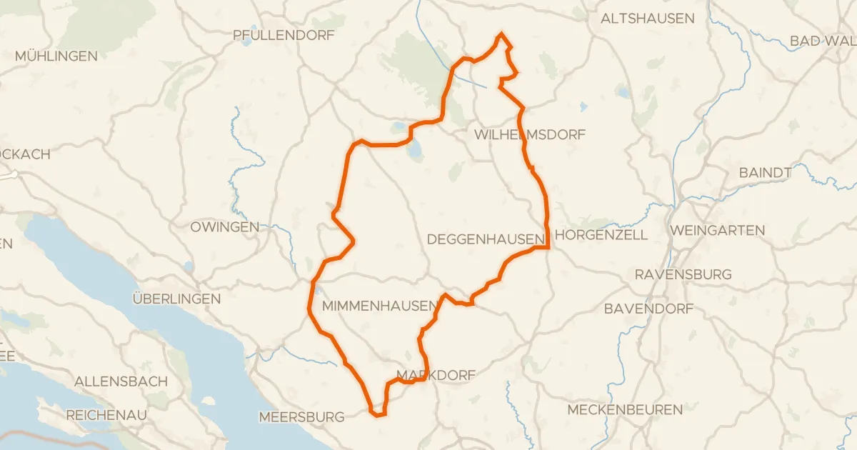
Road bike99% paved
Castles between Pfrungen and Ittendorf
80 km↑ 995 m22 km away
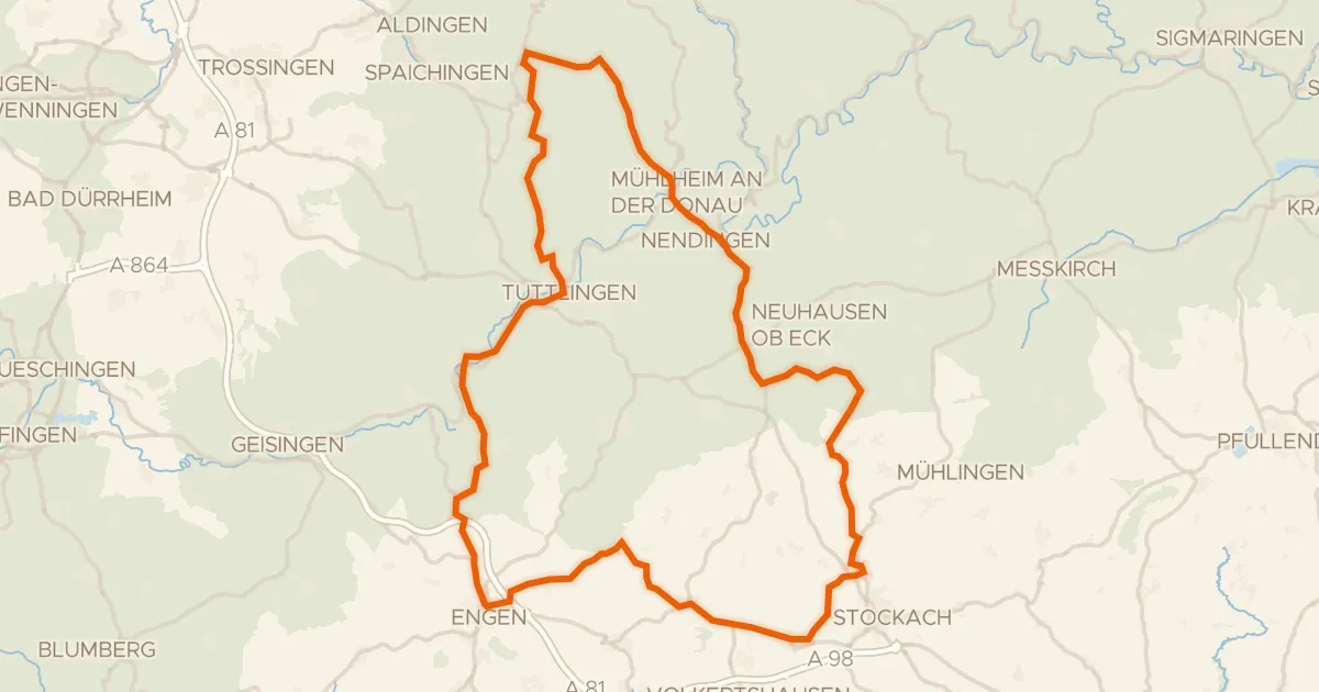
Road bike99% paved
Hills between Zizenhausen and Mühlheim an der Donau
97 km↑ 1,374 m22 km away
Road bike97% paved
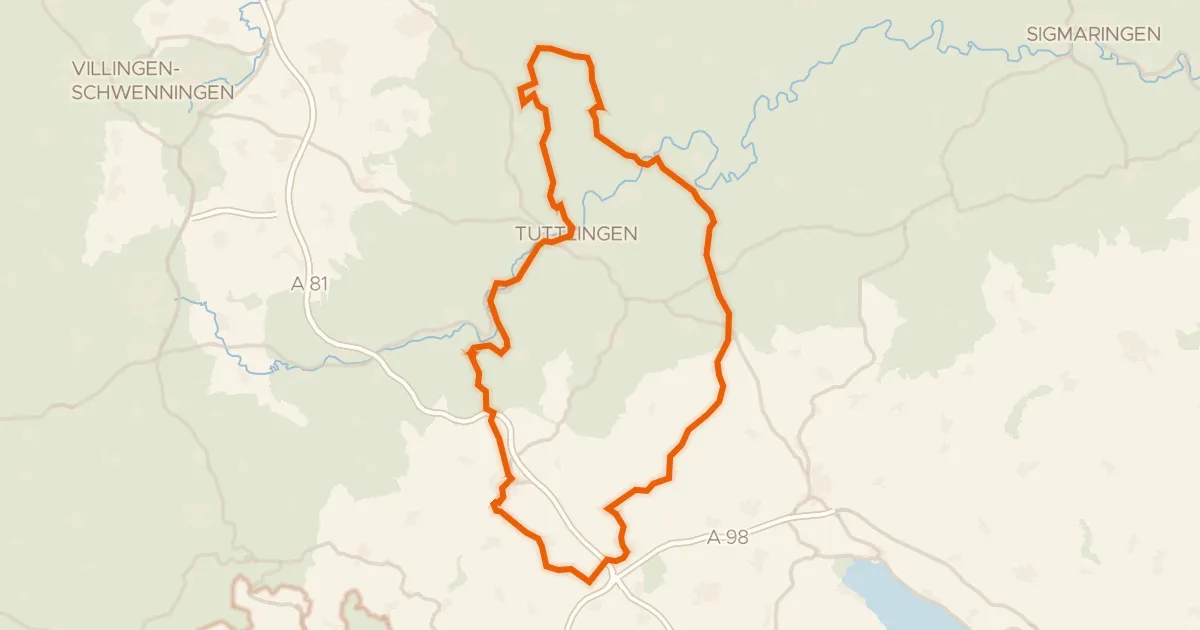
Castles between Heudorf im Hegau and Aach
98 km↑ 1,409 m24 km away
Road bike99% paved
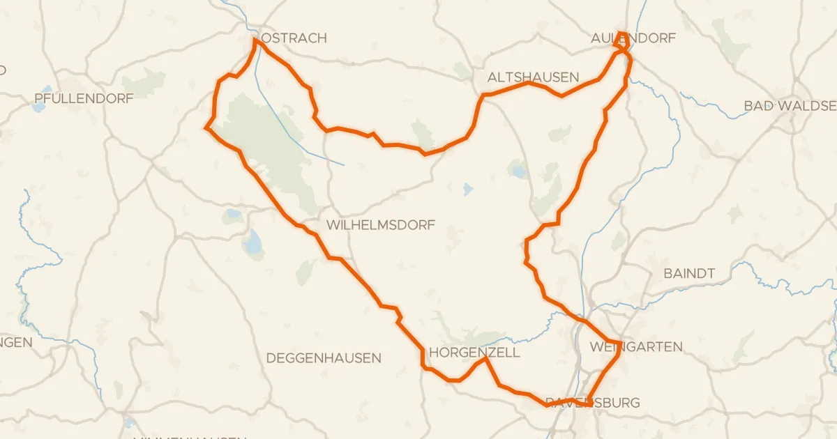
Waterside route between Ebenweiler and Blönried
93 km↑ 806 m25 km away