Back to the librarykm 2 · Oct 2023 · © googie0815 / Mapillary, CC BY-SA km 33 · Dec 2022 · © tasmaniadevil / Mapillary, CC BY-SA km 40 · Nov 2023 · © googie0815 / Mapillary, CC BY-SA km 69 · Sep 2024 · © googie0815 / Mapillary, CC BY-SA km 2–2km 7–8km 62–63km 65–68km 72–73
Road bikeMade by RouteCasterRound trip
Castles between Sigmaringen and Scheer
Distance
77 km
Ascent
755 m
Highest point
679 m
99% paved
Start from your location
Ride there from home: we find the shortest way to the loop and start the loop from there.
The ride
Roll out of Sigmaringen and past Schloss Sigmaringen before the road leads you on to Schloss Bartelstein. Then it's nature all the way: the Blochinger Sandwinkel, Naturpark Obere Donau and Ölkofer Ried, before a final stretch through Wildpark Josefslust. In total 76.5 km with 755 m of climbing, and the surface runs 99% paved. Back in Sigmaringen, the loop closes where it began.
Along the way
Climbs
Climb 1Hill
0.4 km at 6.3% · max 8.2%
Climb 2Hill
1.1 km at 4% · max 10.6%
Climb 3Hill
1.3 km at 5.5% · max 13.9%
Climb 4Cat. 4
2.4 km at 3.9% · max 13.5%
Climb 5Hill
0.9 km at 4.4% · max 9.3%
Routes nearby
Gravel19% paved
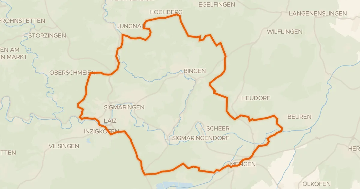
Hills between Mengen and Laiz
60 km↑ 822 m4 km away
Touring77% paved
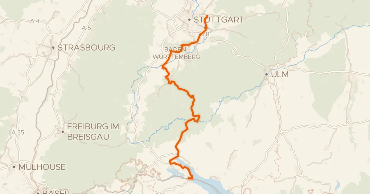
Hohenzollern Radweg
271 km↑ 3,514 m18 km away
Wasserscheide Rhein/Donau
Road bike100% paved
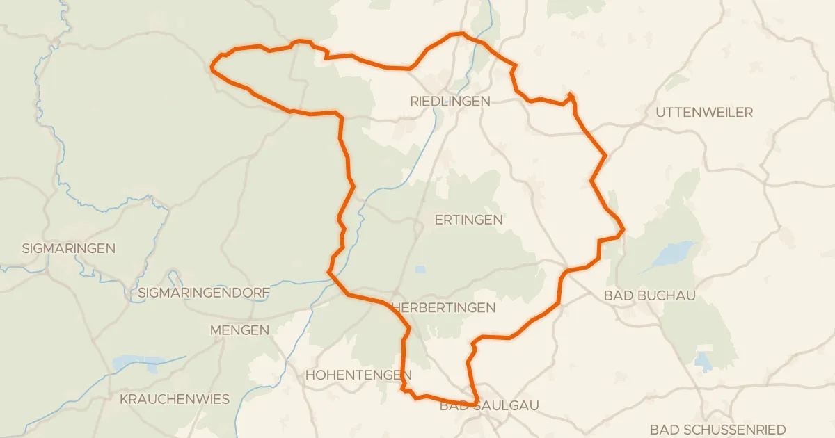
Hills between Hundersingen and Unlingen
76 km↑ 790 m18 km away
Road bike100% paved
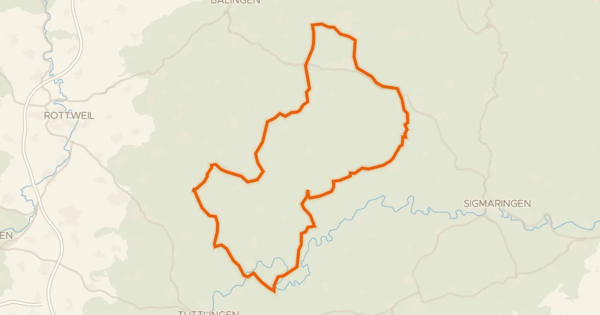
Hills around Straßberg and Nusplingen
97 km↑ 1,443 m20 km away
Road bike98% paved
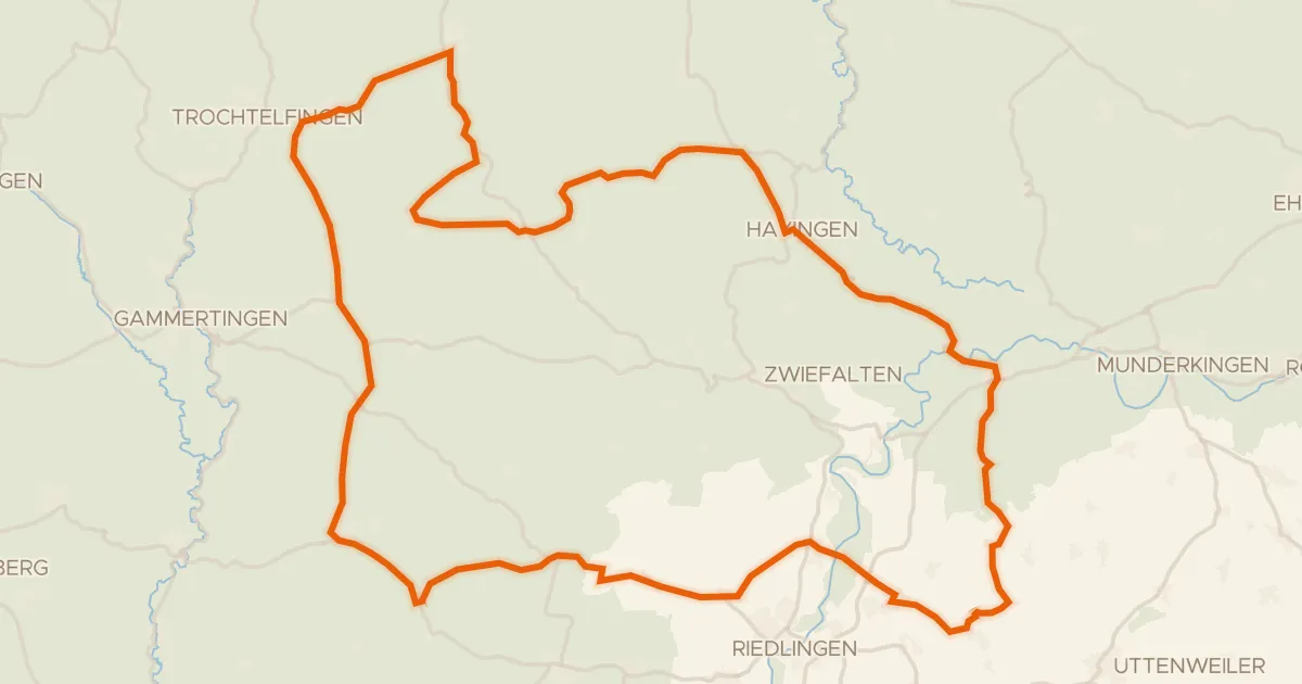
Castles between Unlingen and Rechtenstein
91 km↑ 1,190 m23 km away
Gravel22% paved
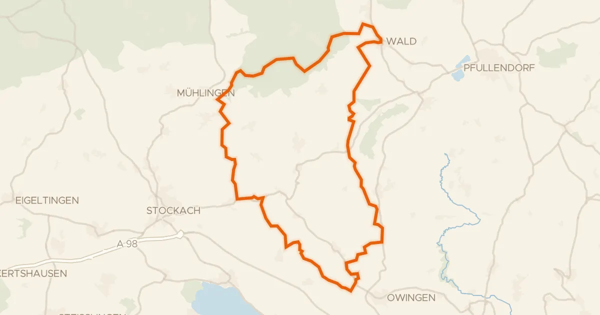
Hills along the Egelseewiesen
57 km↑ 943 m24 km away