Back to the librarykm 0–1km 1–2km 2–3km 4–5km 5–7km 12–13km 19–21km 21–27km 39–40km 43–45km 49–50km 56–58km 61–62
GravelMade by RouteCasterRound trip
Gravel between Rabenauer Grund and Paulsdorfer Heide
Distance
66 km
Ascent
1,248 m
Highest point
630 m
25% paved
Start from your location
Ride there from home: we find the shortest way to the loop and start the loop from there.
The ride
Roll out from Parkeerplaats Rabenauer Grund and straight into the Tal der Roten Weißeritz nature reserve, then through the Rabenauer Grund nature reserve. Onward past the Paulsdorfer Heide forest and Schloss Reichstädt castle, before the Weißeritztalhänge nature reserve turns you for home. It's 66.4 km with 1248 m of climbing, mostly unpaved, and it ends right back where you started.
Climbs
Climb 1Hill
1.1 km at 3.9% · max 16.3%
Climb 2Hill
0.6 km at 4.5% · max 9%
Climb 3Hill
0.7 km at 3.8% · max 13.2%
Climb 4Hill
0.8 km at 5.7% · max 12.9%
Climb 5Hill
1.8 km at 4% · max 12.5%
Climb 6Hill
1.2 km at 3.5% · max 8.3%
Climb 7Hill
1.2 km at 5.3% · max 11.2%
Climb 8Cat. 3
6.4 km at 3.2% · max 10.5%
Climb 9Hill
0.4 km at 7.2% · max 9.9%
Climb 10Hill
1.6 km at 3.9% · max 23.4%
Climb 11Hill
1.4 km at 4.4% · max 9%
Climb 12Hill
1.2 km at 3.5% · max 5.8%
Climb 13Hill
0.9 km at 7.5% · max 13.5%
Routes nearby
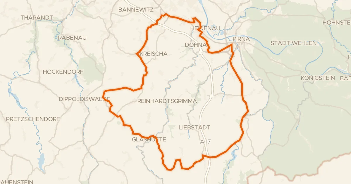
Road bike98% paved
Hills between Seidewitz and Müglitz
75 km↑ 1,058 m17 km away
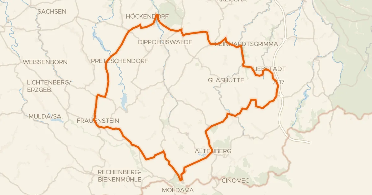
Road bike100% paved
Castles through the Weicholdswald
91 km↑ 1,629 m17 km away
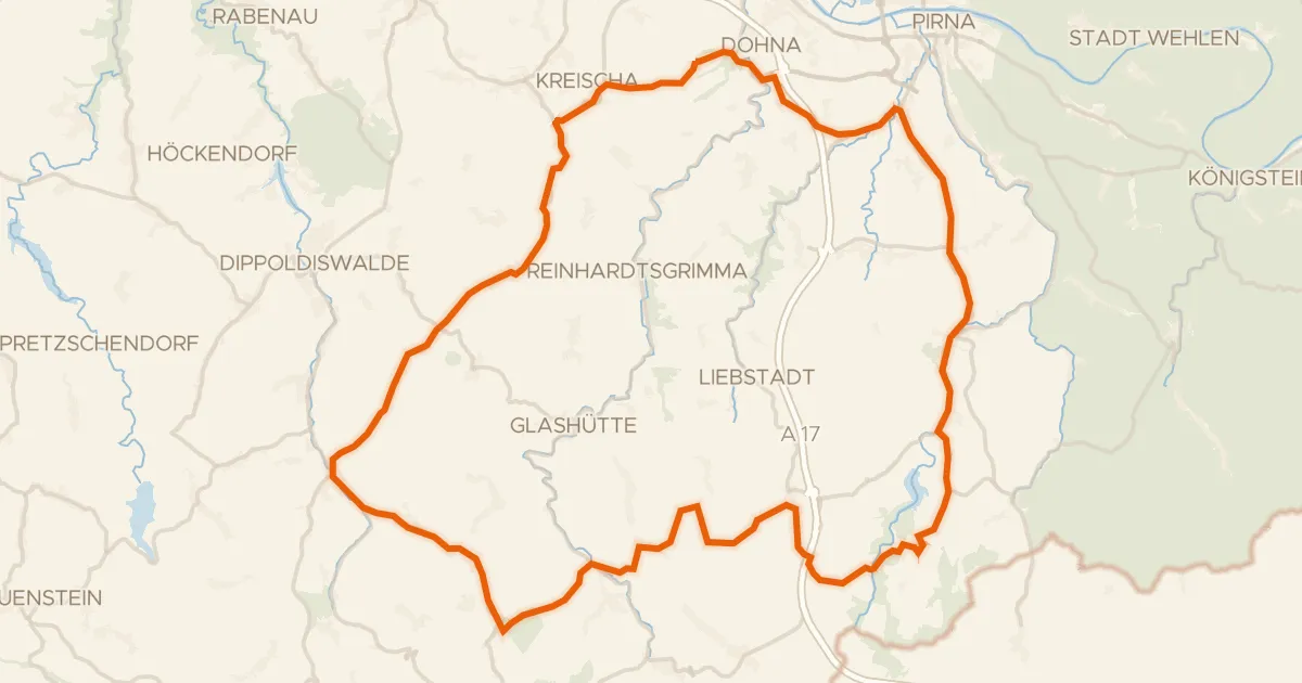
Road bike100% paved
Climb past Dohna Castle
75 km↑ 1,356 m18 km away
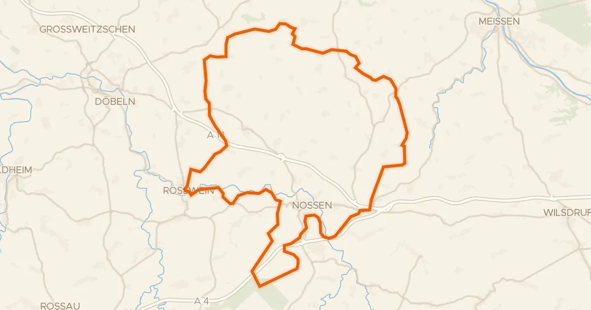
Gravel45% paved
Castles along the Freiberger Mulde
73 km↑ 952 m26 km away
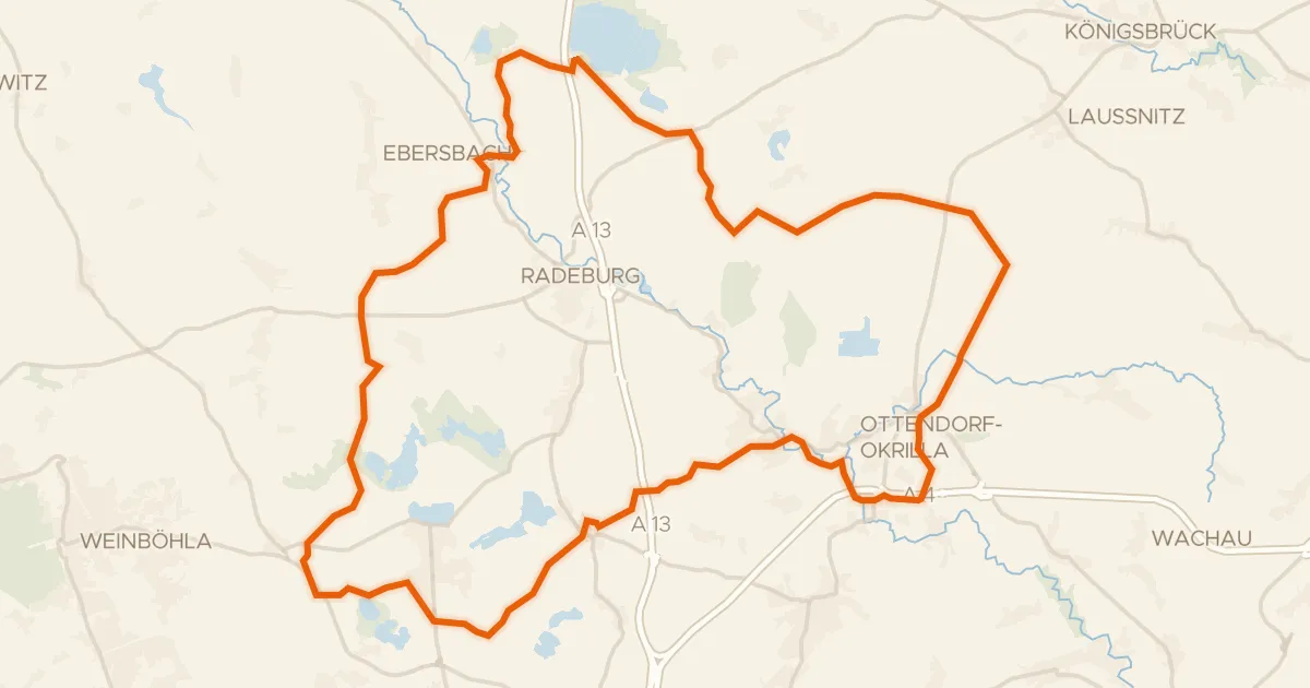
Gravel12% paved
Unpaved between Medingen and Zschorna
61 km↑ 386 m27 km away
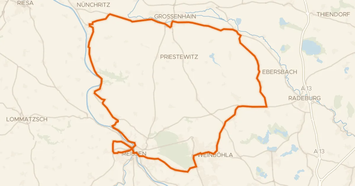
Road bike99% paved
Castles between the Elbe and Seußlitz
72 km↑ 457 m28 km away