Back to the librarykm 6 · Aug 2023 · © atze02 / Mapillary, CC BY-SA km 51 · May 2020 · © canislupus / Mapillary, CC BY-SA km 82 · Oct 2019 · © flormeow26 / Mapillary, CC BY-SA km 0–1km 2–5km 14–15km 16–18km 38–39km 48–50km 59–60km 64–68km 71–76km 77–78km 81–83km 86–91
Road bikeMade by RouteCasterRound trip
Castles through the Weicholdswald
Distance
91 km
Ascent
1,629 m
Highest point
832 m
100% paved
Start from your location
Ride there from home: we find the shortest way to the loop and start the loop from there.
The ride
Roll out from Parkeerplaats Weicholdswald and the climbing begins: 91.1 km with 1629 m of elevation, all on paved roads. First up is the Geisingberg nature reserve, then it's castle after castle — Jagdschloss Rehefeld, Schloss Frauenstein, Wasserburg Ruppendorf. Between them the route dips through the Müglitzhang bei Schlottwitz and Trebnitzgrund nature reserves before Schloss Kuckuckstein. One last stretch through the Weicholdswald nature reserve brings you back to where you started.
Along the way
Climbs
Climb 1Hill
1.1 km at 4% · max 12.6%
Climb 2Cat. 4
3.3 km at 4.3% · max 11.2%
Climb 3Hill
1.1 km at 6.4% · max 13.1%
Climb 4Cat. 4
2.5 km at 4.1% · max 11.5%
Climb 5Hill
0.9 km at 8.3% · max 27.1%
Climb 6Cat. 4
2.5 km at 3.6% · max 10.4%
Climb 7Hill
1.1 km at 4.5% · max 8.5%
Climb 8Cat. 3
4.5 km at 4.3% · max 16.5%
Climb 9Cat. 3
5.2 km at 3.1% · max 18.6%
Climb 10Cat. 4
1.6 km at 5.1% · max 13.8%
Climb 11Cat. 4
1.7 km at 6.5% · max 14.6%
Climb 12Cat. 3
5.1 km at 4.9% · max 15.4%
Routes nearby
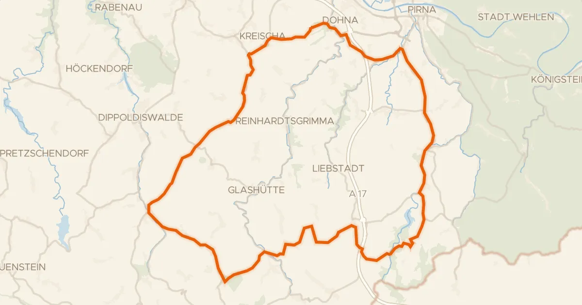
Road bike100% paved
Climb past Dohna Castle
75 km↑ 1,356 m11 km away
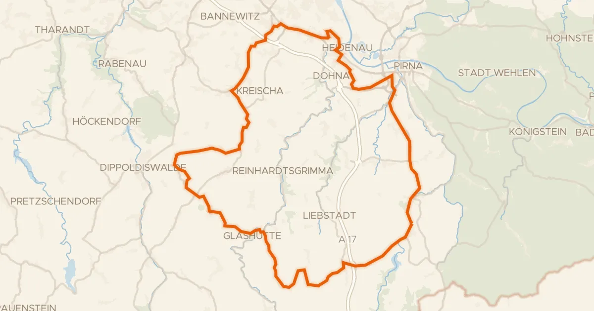
Road bike98% paved
Hills between Seidewitz and Müglitz
75 km↑ 1,058 m14 km away
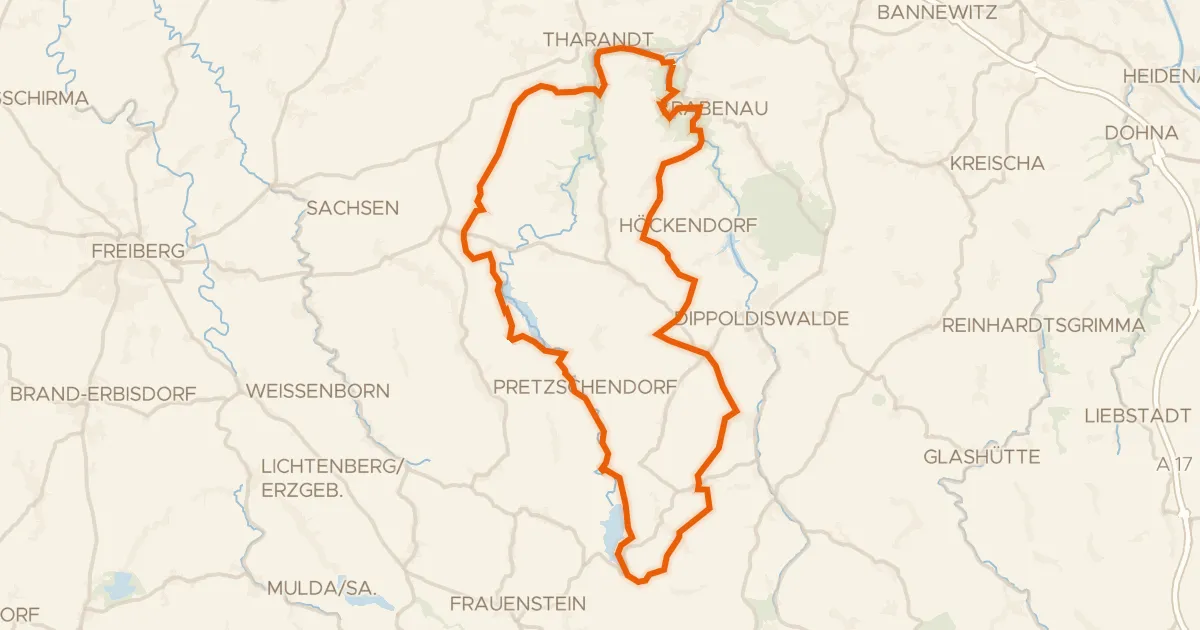
Gravel25% paved
Gravel between Rabenauer Grund and Paulsdorfer Heide
66 km↑ 1,248 m17 km away
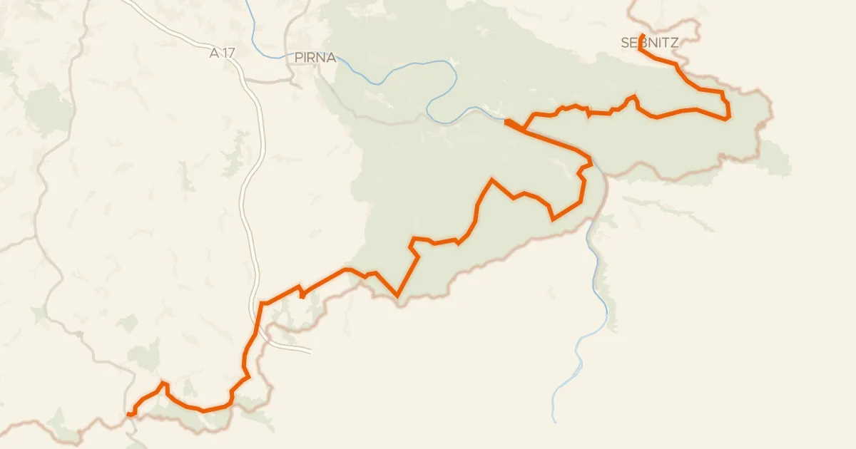
Touring90% paved
Radfernweg Sächsische Mittelgebirge [Sebnitz↔Altenberg]
101 km↑ 2,180 m23 km away
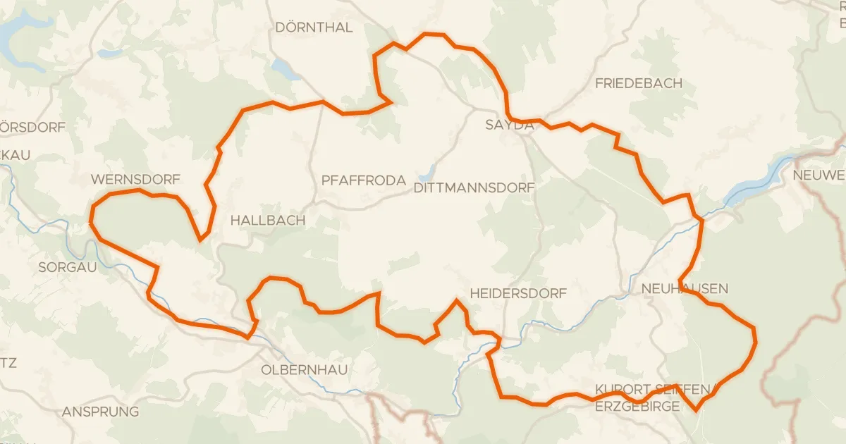
Gravel30% paved
Climbs between Heidersdorf and Sayda
62 km↑ 1,232 m27 km away
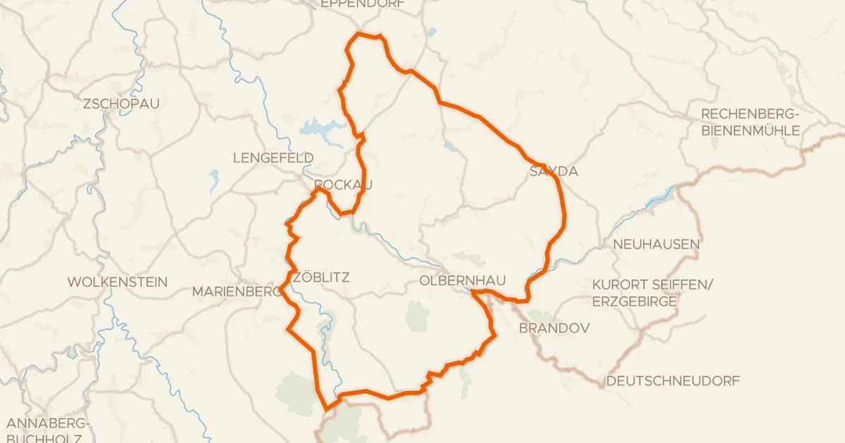
Road bike100% paved
Waterside route between Sayda and Rübenau
75 km↑ 1,158 m32 km away