Back to the librarykm 69 · Jun 2026 · © atze02 / Mapillary, CC BY-SA km 0–2km 23–24km 45–45km 46–47km 50–51km 67–69km 71–71
GravelMade by RouteCasterRound trip
Castles along the Freiberger Mulde
Distance
73 km
Ascent
952 m
Highest point
363 m
45% paved
Start from your location
Ride there from home: we find the shortest way to the loop and start the loop from there.
The ride
Roll out of Roßwein and the castles come first: past Schloß Schleinitz, then Schloss Heynitz, before the Freiberger Mulde river joins the route. Next up are the Zellwald forest and the Aschbachtal nature reserve, with the Mühlgraben canal near the end. Of the 73.2 km, a little over half runs unpaved, and 952 m of climbing keeps the legs honest. Then it's back to Roßwein.
Along the way
Climbs
Climb 1Cat. 4
2.1 km at 4.6% · max 13.1%
Climb 2Hill
1.1 km at 3.2% · max 5.7%
Climb 3Hill
0.3 km at 8.9% · max 16.8%
Climb 4Hill
1.2 km at 5.1% · max 18%
Climb 5Hill
0.4 km at 6.3% · max 8.2%
Climb 6Hill
2 km at 3.3% · max 9.5%
Climb 7Hill
0.7 km at 5.8% · max 12.4%
Routes nearby
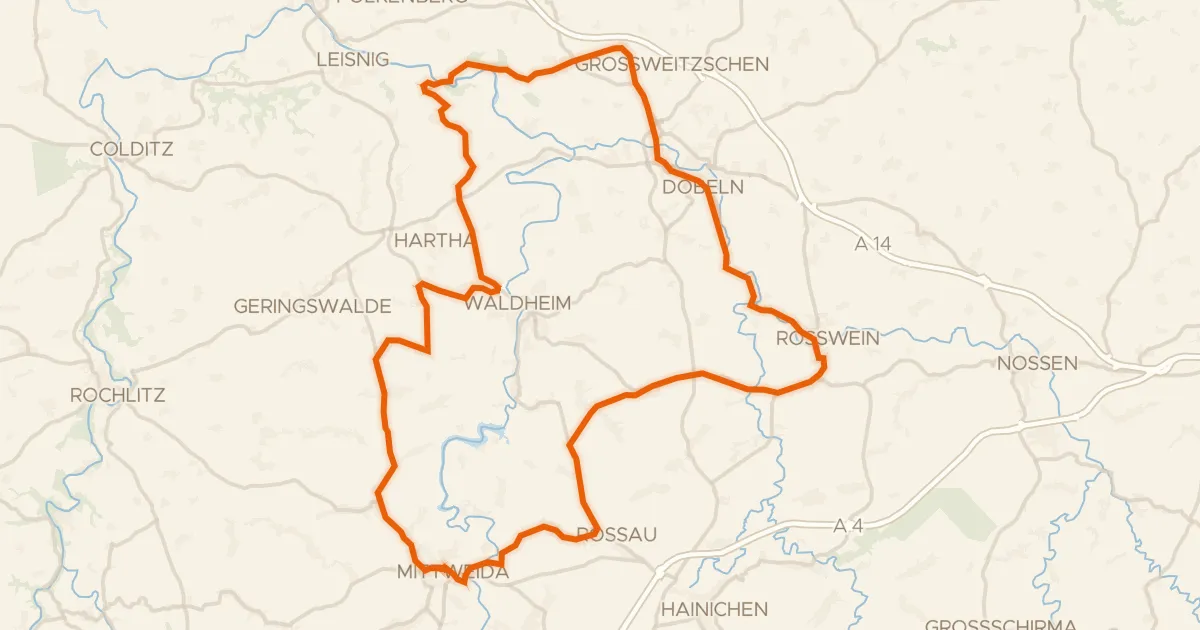
Road bike100% paved
Hills between Rossau and Klosterbuch
79 km↑ 871 m8 km away
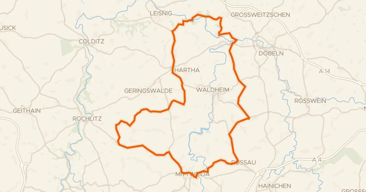
Road bike100% paved
Hills around Zschopau and Schloss Schweta
76 km↑ 861 m15 km away
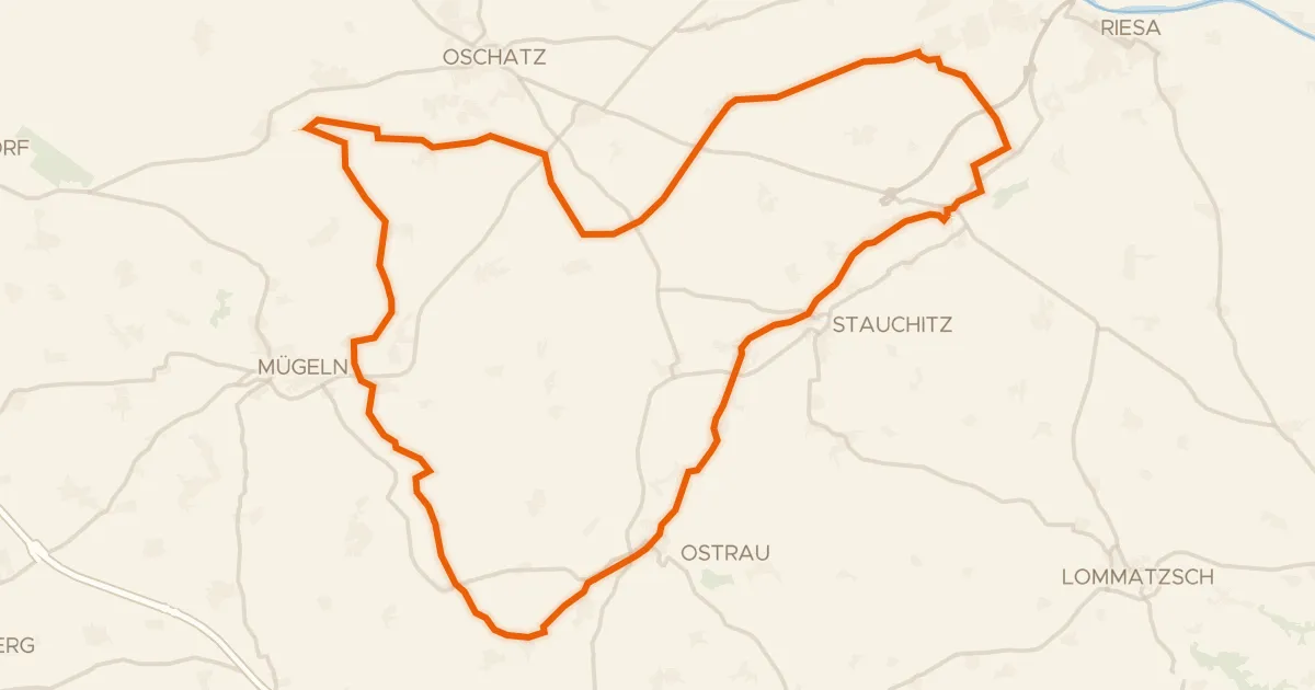
Gravel45% paved
Gravel loop past the Jahna-Auenwälder
55 km↑ 343 m20 km away
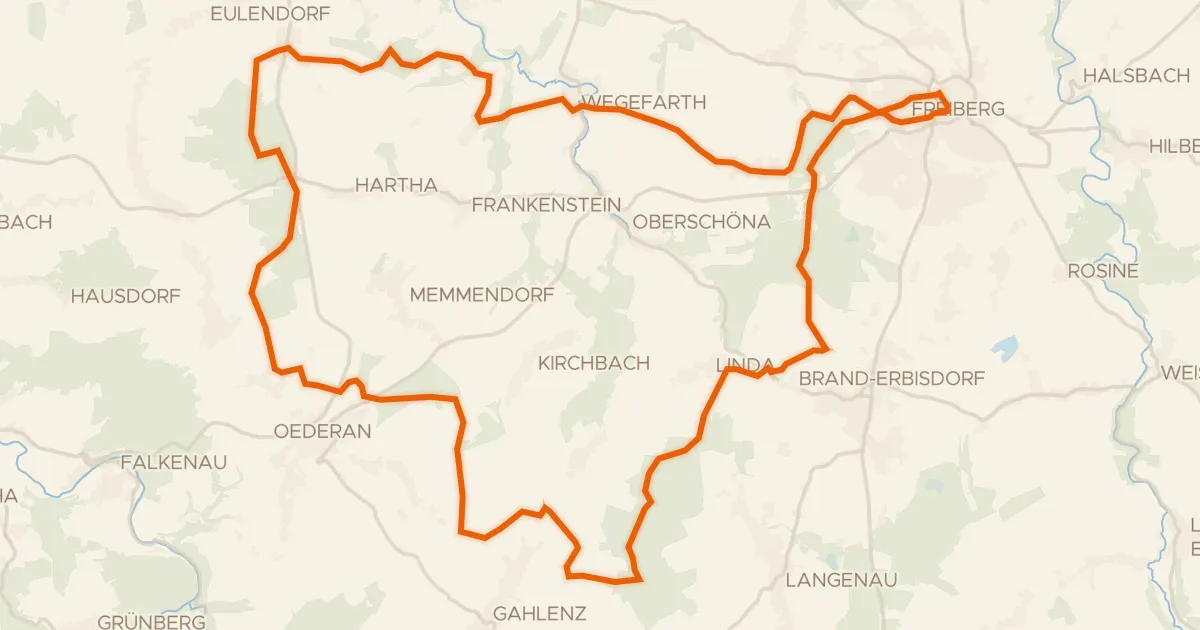
Gravel31% paved
Hills along the Große Striegis
56 km↑ 730 m21 km away
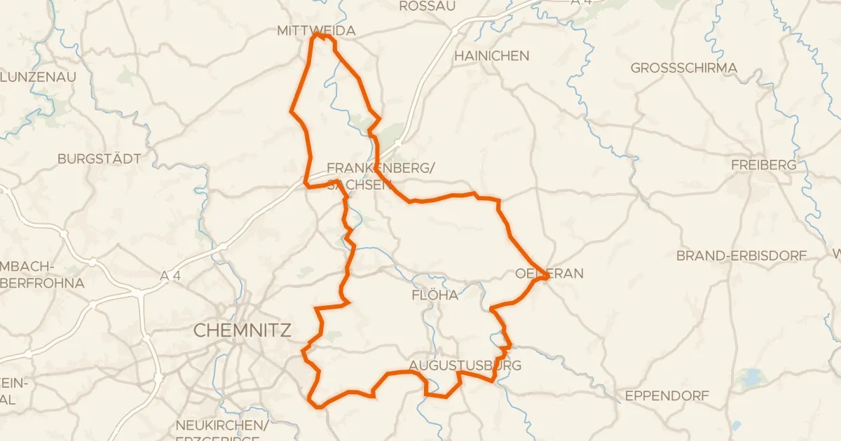
Road bike99% paved
Castles along the Zschopau
81 km↑ 1,178 m21 km away
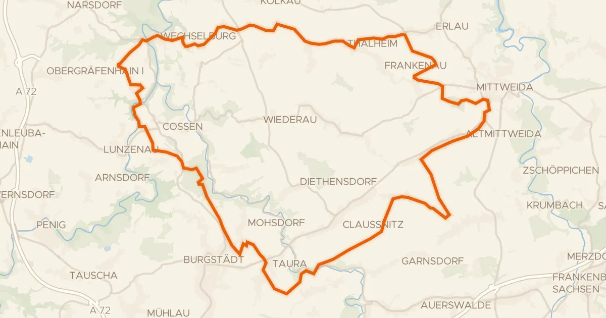
Gravel52% paved
Gravel along the Zwickauer Mulde
60 km↑ 690 m25 km away