Back to the librarykm 2 · Apr 2019 · © mappi / Mapillary, CC BY-SA km 31 · May 2019 · © bejotel / Mapillary, CC BY-SA km 58 · Jun 2026 · © atze02 / Mapillary, CC BY-SA km 77 · May 2019 · © mappi / Mapillary, CC BY-SA km 19–21km 22–24km 59–60km 77–78
Road bikeMade by RouteCasterRound trip
Hills between Rossau and Klosterbuch
Distance
79 km
Ascent
871 m
Highest point
319 m
100% paved
Start from your location
Ride there from home: we find the shortest way to the loop and start the loop from there.
The ride
Roll out of Mittweida on a 79.1 km loop that stays paved the whole way, climbing 871 m as it goes. First up are the nature reserves of Maylust and Scheergrund, then you follow the Freiberger Mulde river. Past the castle ruin of Kempe the route picks up the Striegis river, and from there it's back to Mittweida where you started.
Along the way
Climbs
Climb 1Hill
2 km at 3.1% · max 8.6%
Climb 2Hill
1.8 km at 3.4% · max 7.4%
Climb 3Cat. 4
1.6 km at 5% · max 13%
Climb 4Hill
1.3 km at 3.7% · max 12.2%
Routes nearby
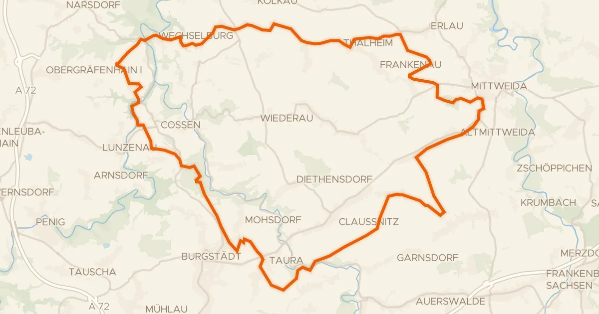
Gravel52% paved
Gravel along the Zwickauer Mulde
60 km↑ 690 m9 km away
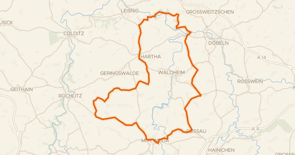
Road bike100% paved
Hills around Zschopau and Schloss Schweta
76 km↑ 861 m10 km away
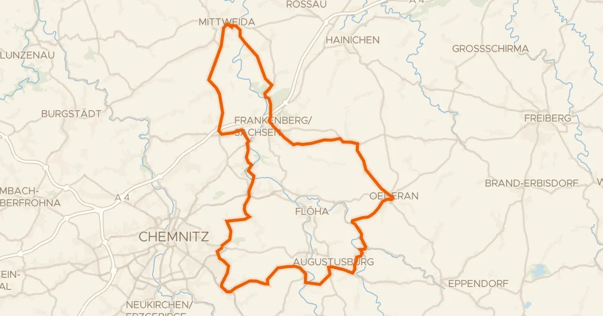
Road bike99% paved
Castles along the Zschopau
81 km↑ 1,178 m12 km away
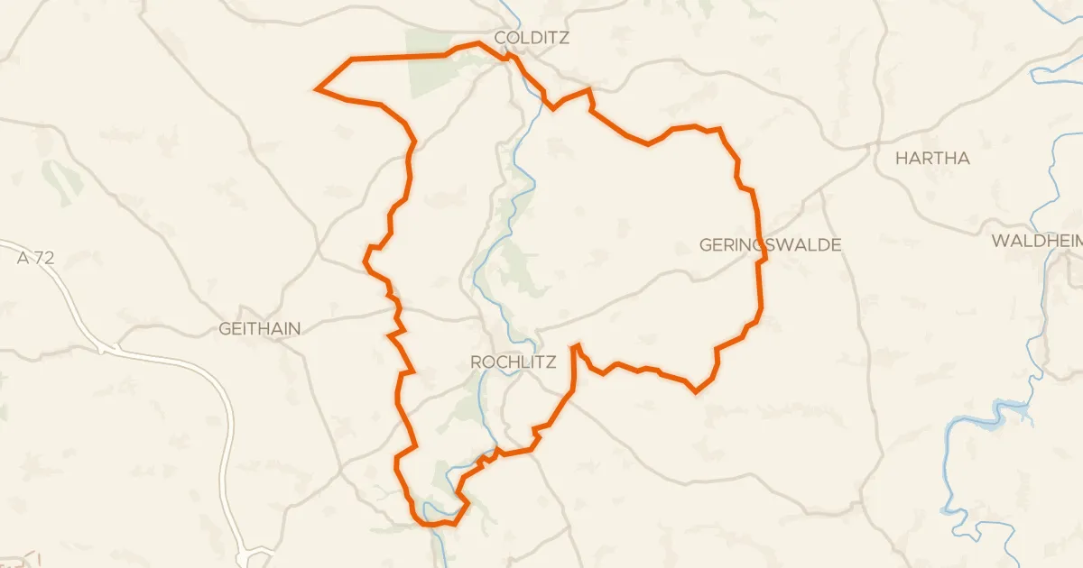
Gravel62% paved
Hills between Wechselburg and Königsfeld
61 km↑ 940 m15 km away
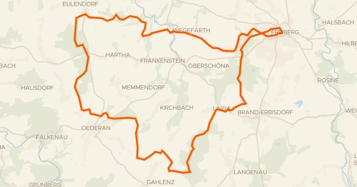
Gravel31% paved
Hills along the Große Striegis
56 km↑ 730 m22 km away
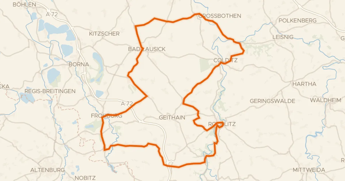
Road bike99% paved
Hills between Gnandstein and Kohren-Sahlis
99 km↑ 947 m23 km away