Back to the librarykm 39 · Jun 2020 · © changchun1 / Mapillary, CC BY-SA km 0–6km 20–20km 22–23km 24–25km 29–31km 32–34km 40–43km 43–44km 46–49km 50–50km 51–51
GravelMade by RouteCasterRound trip
Climbs through the Panzbachtal
Distance
54 km
Ascent
1,120 m
Highest point
619 m
27% paved
Start from your location
Ride there from home: we find the shortest way to the loop and start the loop from there.
The ride
Roll out from Parkeerplaats Panzbachtal and let the ride unfold through Panzbachtal nature reserve, then on past Die Römerburg castle. From there the route winds through Saar-Hunsrück nature reserve before reaching Saarschleife und Leukbachtal nature reserve. With 54.1 km under your wheels and 1120 m of climbing, it's a steady day out, and the mix of paved and unpaved keeps things varied before you roll back to where you started.
Along the way
Climbs
Climb 1Cat. 3
5.6 km at 4.4% · max 16%
Climb 2Hill
0.5 km at 7.5% · max 14.5%
Climb 3Hill
1.4 km at 3.6% · max 10.9%
Climb 4Hill
1.4 km at 4.7% · max 23.9%
Climb 5Cat. 4
1.8 km at 5.9% · max 14.6%
Climb 6Cat. 4
1.8 km at 5.5% · max 30.6%
Climb 7Cat. 4
2.9 km at 4% · max 9.9%
Climb 8Cat. 4
1 km at 8.9% · max 14.3%
Climb 9Cat. 4
3.3 km at 3.8% · max 17.3%
Climb 10Hill
0.4 km at 8.7% · max 10.9%
Climb 11Hill
0.8 km at 5.9% · max 15.7%
Routes nearby
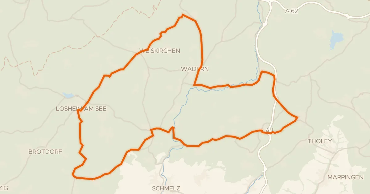
Road bike97% paved
Hills between Dagstuhl and Theley
71 km↑ 927 m14 km away
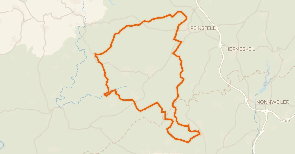
Gravel19% paved
Climbs between Wadrilltal and Enterbachtal
57 km↑ 1,206 m14 km away
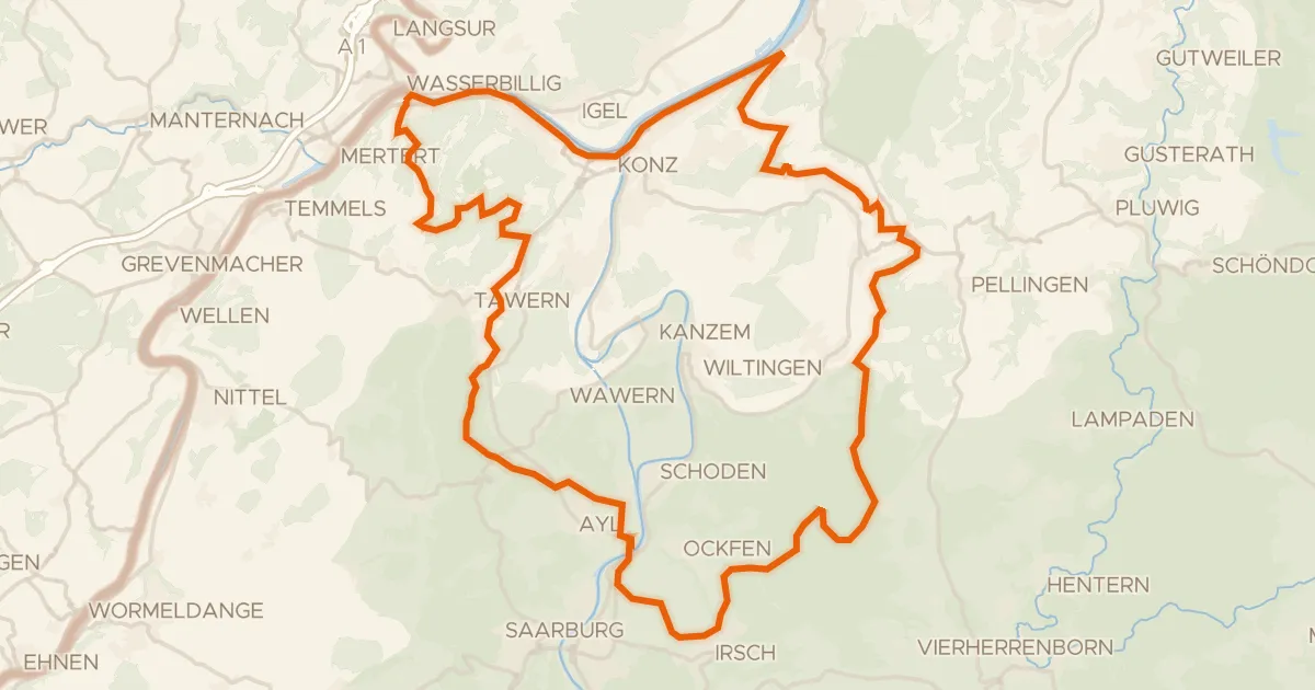
Gravel37% paved
Climbs through Mattheiser Wald
61 km↑ 1,339 m17 km away
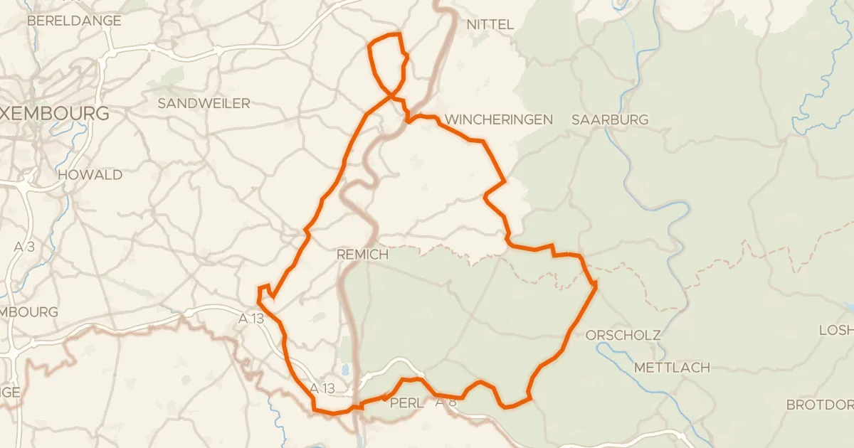
Road bike99% paved
Castle route via Wincheringen and Schengen
76 km↑ 1,236 m20 km away
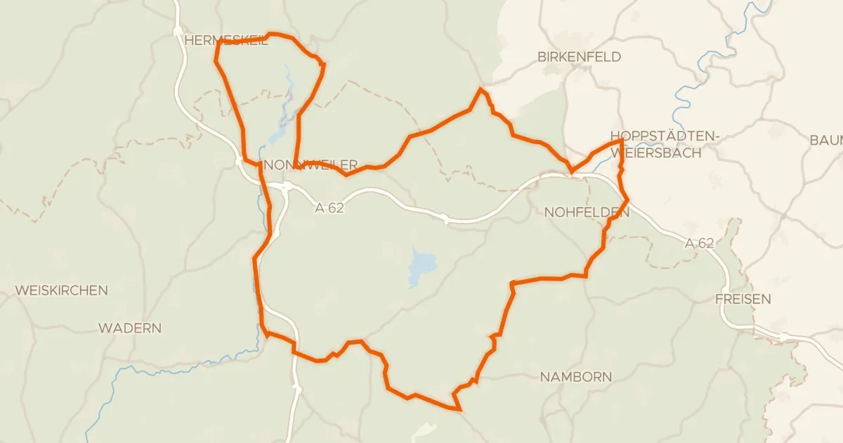
Road bike100% paved
Rolling between Nonnweiler and Züsch
75 km↑ 1,100 m28 km away
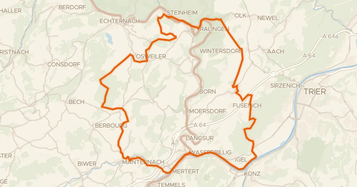
Gravel63% paved
Gravel along the Saar via Ralingen
65 km↑ 1,148 m29 km away