Back to the librarykm 17 · Oct 2025 · © VIA_CH / Mapillary, CC BY-SA km 20 · Oct 2025 · © VIA_CH / Mapillary, CC BY-SA km 45 · Apr 2026 · © teddy73 / Mapillary, CC BY-SA km 58 · May 2026 · © teddy73 / Mapillary, CC BY-SA km 0–1km 3–4km 6–7km 30–33km 42–43km 55–56
Road bikeMade by RouteCasterRound trip
Rolling between Nonnweiler and Züsch
Distance
75 km
Ascent
1,100 m
Highest point
612 m
100% paved
Start from your location
Ride there from home: we find the shortest way to the loop and start the loop from there.
The ride
Roll out of Hermeskeil and back again on 75.2 km of paved road, with 1100 m of climbing along the way. The route threads through Moosbruch nature reserve, then the Saar-Hunsrück nature reserve, before passing Alter Nahearm nature reserve. Next comes the Bruchwald südlich Selbach nature reserve, and from there it's home to Hermeskeil.
Along the way
Climbs
Climb 1Hill
1.4 km at 4.8% · max 7.5%
Climb 2Cat. 4
1.5 km at 5.4% · max 9.6%
Climb 3Hill
1 km at 5.3% · max 10.2%
Climb 4Cat. 4
2.5 km at 4.9% · max 14.9%
Climb 5Hill
0.9 km at 3.3% · max 10.8%
Climb 6Hill
1.3 km at 3% · max 6.1%
Routes nearby
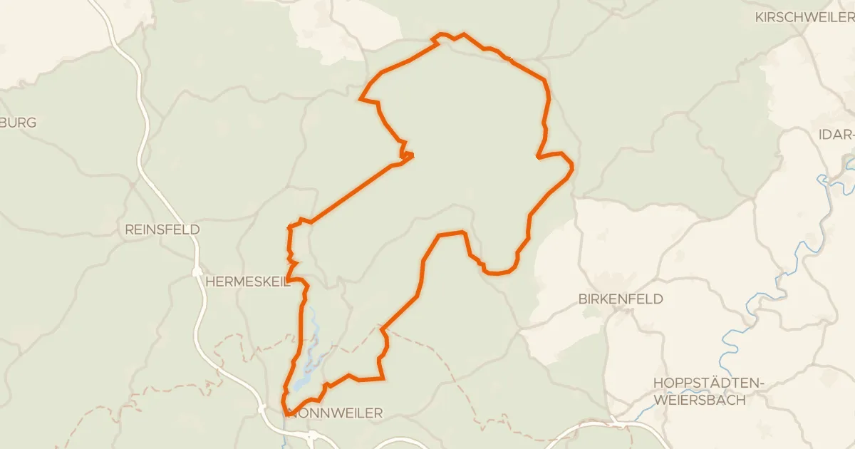
Gravel8% paved
Gravel loop between Thranenbruch and Gebück
61 km↑ 1,162 m8 km away
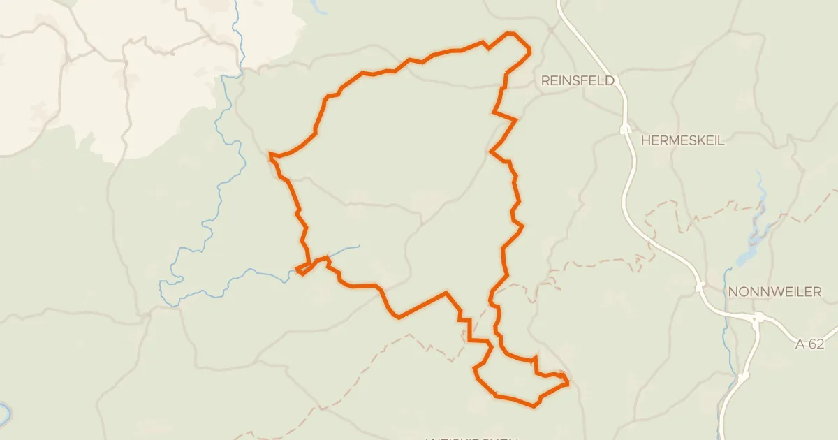
Gravel19% paved
Climbs between Wadrilltal and Enterbachtal
57 km↑ 1,206 m10 km away
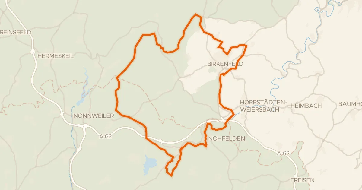
Gravel41% paved
Hills between Nohfelden and Sötern
61 km↑ 1,045 m12 km away
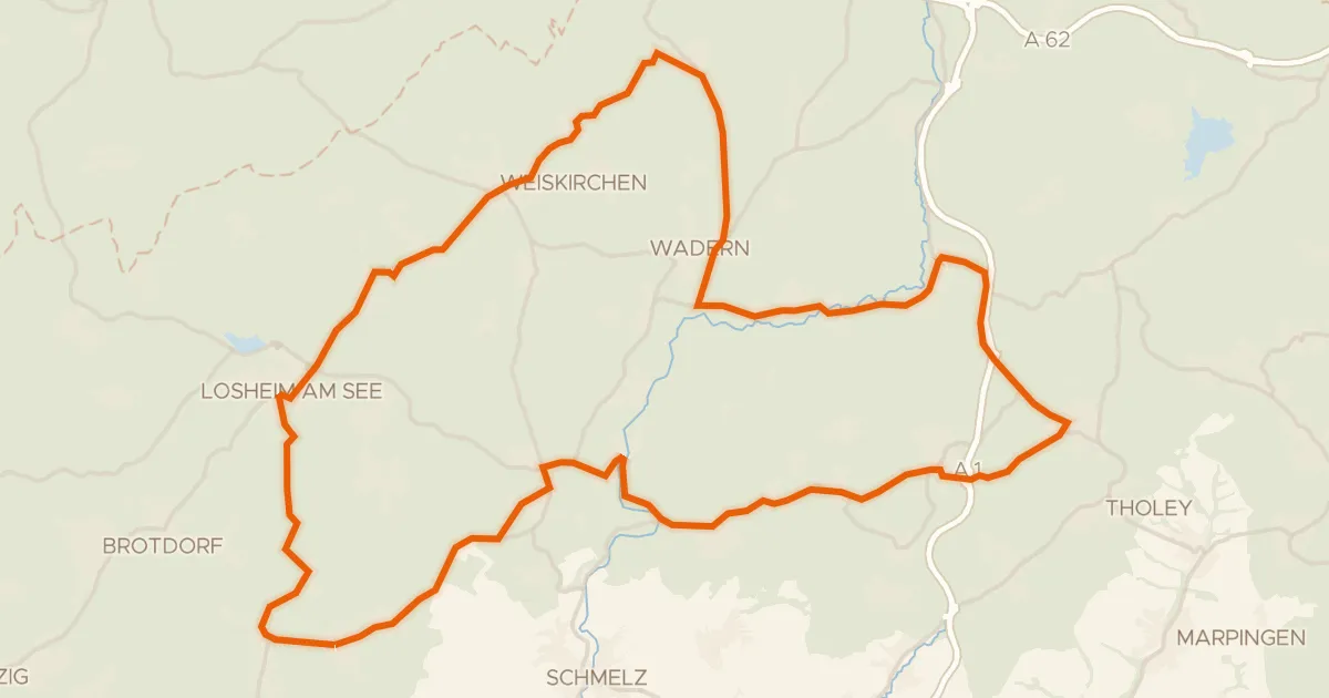
Road bike97% paved
Hills between Dagstuhl and Theley
71 km↑ 927 m16 km away
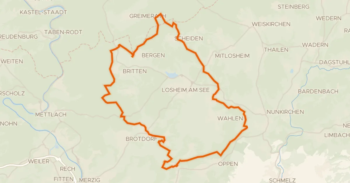
Gravel27% paved
Climbs through the Panzbachtal
54 km↑ 1,120 m22 km away
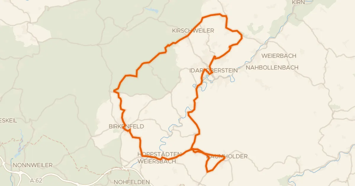
Road bike99% paved
Climbs between Leisel and Hattgenstein
77 km↑ 1,509 m23 km away