Back to the librarykm 7 · Jun 2023 · © marczoutendijk / Mapillary, CC BY-SA km 40 · Aug 2025 · © teddy73 / Mapillary, CC BY-SA km 11–13km 13–13km 13–14km 15–18km 19–19km 30–31km 36–37km 44–48km 49–50km 55–57
GravelMade by RouteCasterRound trip
Gravel along the Saar via Ralingen
Distance
65 km
Ascent
1,148 m
Highest point
395 m
63% paved
Start from your location
Ride there from home: we find the shortest way to the loop and start the loop from there.
The ride
Roll out from Parkeerplaats Kiesgrube bei Oberkirch and straight into the Kiesgrube nature reserve, then follow the Saar river onward. Climb toward the Rechberg bei Olk nature reserve, roll through the Ralinger Röder nature reserve, and wind back to where you started. It's 65.4 km with 1148 m of climbing, mostly paved with a stretch of unpaved thrown in.
Along the way
Climbs
Climb 1Hill
1.1 km at 4.4% · max 11.8%
Climb 2Hill
0.2 km at 20.5% · max 29.4%
Climb 3Hill
0.9 km at 4.3% · max 9.6%
Climb 4Cat. 4
2.7 km at 4.5% · max 10.8%
Climb 5Hill
0.9 km at 5.1% · max 9.6%
Climb 6Cat. 4
1.6 km at 5.8% · max 14.7%
Climb 7Cat. 4
1.3 km at 7.5% · max 17.1%
Climb 8Cat. 3
4.8 km at 4.9% · max 15.5%
Climb 9Hill
0.6 km at 7.1% · max 9.3%
Climb 10Cat. 4
2.2 km at 4.2% · max 11.9%
Routes nearby
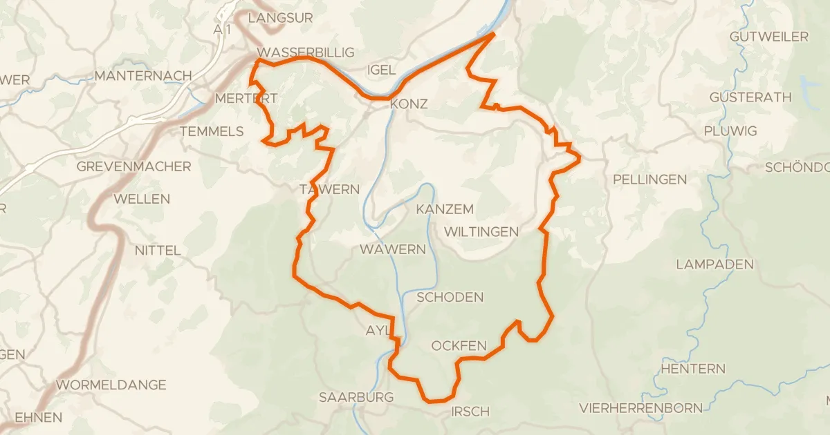
Gravel37% paved
Climbs through Mattheiser Wald
61 km↑ 1,339 m5 km away
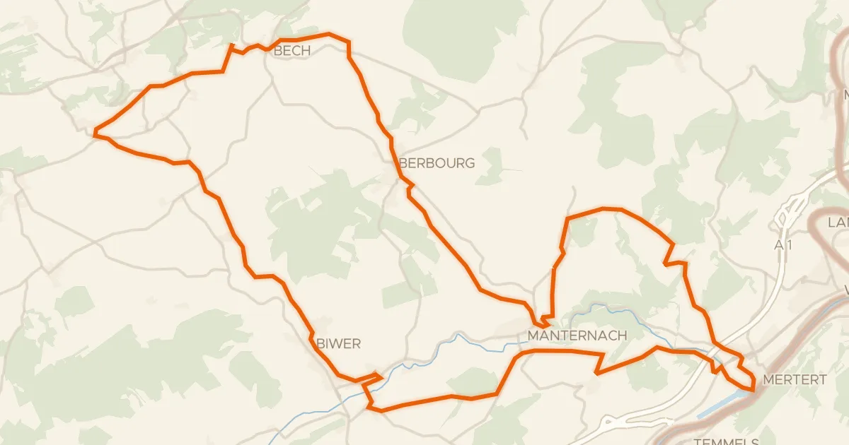
Road bike100% paved
Velo Pomarium
40 km↑ 705 m13 km away
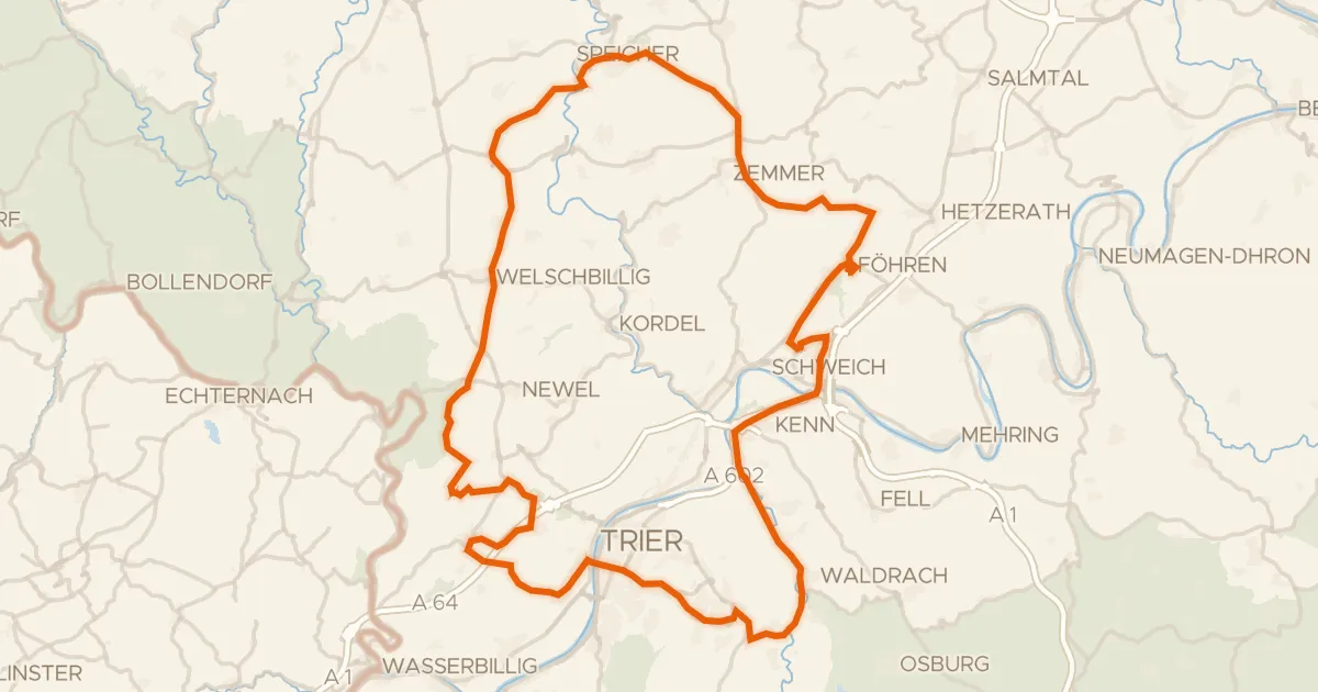
Road bike98% paved
Hills between Föhren and Schweich
93 km↑ 1,507 m14 km away
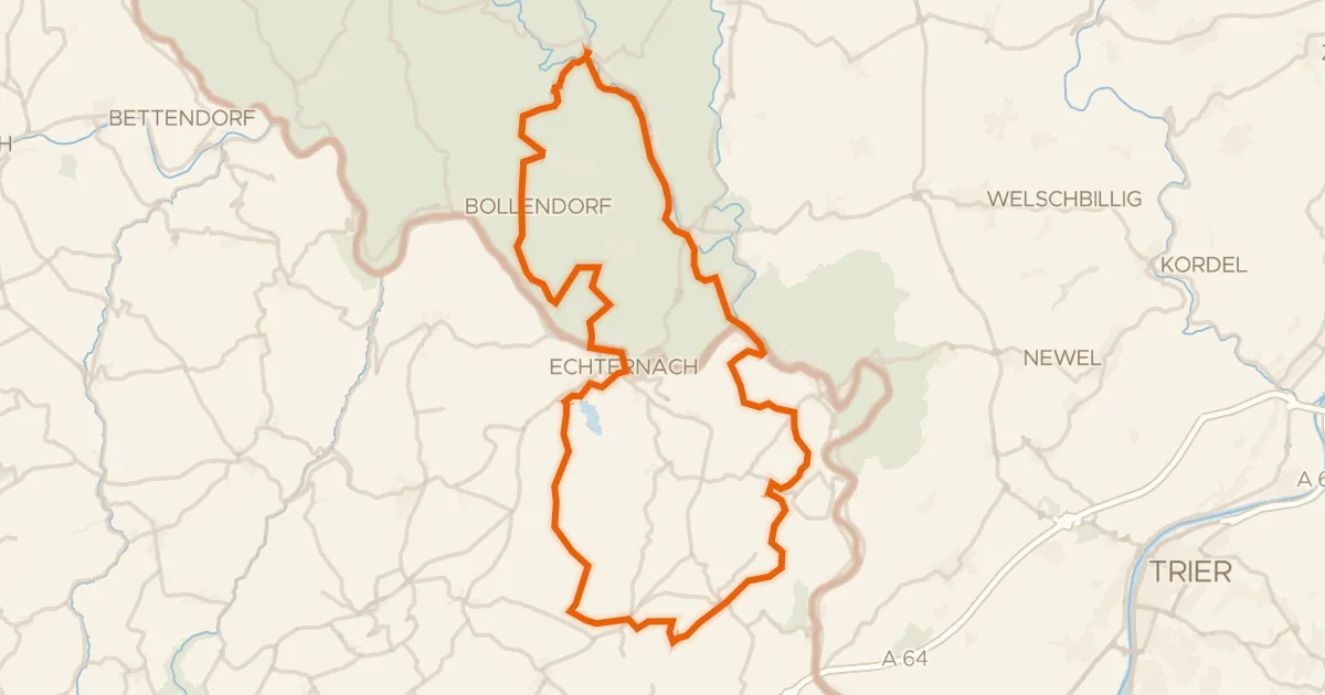
Gravel51% paved
Castles along the Prüm
61 km↑ 1,288 m16 km away
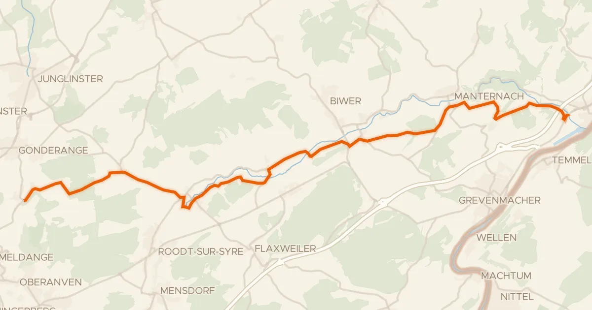
Road bike100% paved
Piste cyclable de la Syre (PC 4)
21 km↑ 237 m16 km away
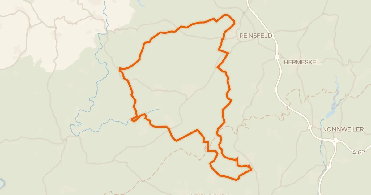
Gravel19% paved
Climbs between Wadrilltal and Enterbachtal
57 km↑ 1,206 m19 km away