Back to the librarykm 3–4km 11–11km 20–21km 23–24km 27–28km 30–34km 40–41km 43–44km 44–45km 47–49km 53–54km 57–58km 59–59
GravelMade by RouteCasterRound trip
Climbs along the L'Ander
Distance
59 km
Ascent
1,146 m
Highest point
1,104 m
31% paved
Start from your location
Ride there from home: we find the shortest way to the loop and start the loop from there.
The ride
From Rézentières you roll out on a 59.0 km loop that mixes 31% paved with 68% unpaved. Along the way you pass the castle Château de Vernières, then follow the river L'Ander, before the castle Château de Varillettes comes into view. With 1146 m of climbing spread across the route, the ride keeps unfolding past each of these before bringing you back to Rézentières.
Climbs
Climb 1Hill
0.7 km at 5% · max 8.8%
Climb 2Hill
0.9 km at 3.8% · max 6.4%
Climb 3Hill
1.4 km at 3.6% · max 16.1%
Climb 4Cat. 4
1.8 km at 4.8% · max 10.2%
Climb 5Hill
1.3 km at 5.5% · max 12.4%
Climb 6Cat. 3
4.5 km at 6.3% · max 26.8%
Climb 7Hill
1.6 km at 4.3% · max 8.1%
Climb 8Hill
0.7 km at 4.1% · max 8%
Climb 9Hill
1.5 km at 3.7% · max 9.8%
Climb 10Hill
2.2 km at 3.2% · max 10.1%
Climb 11Hill
0.6 km at 8.3% · max 12.5%
Climb 12Hill
0.6 km at 6.3% · max 9%
Climb 13Hill
0.4 km at 8.9% · max 11.7%
Routes nearby

Road bike100% paved
Waterside route past Massiac to Molompize
73 km↑ 1,804 m9 km away

Road bike99% paved
Castles between Lavastrie and Paulhac
93 km↑ 1,401 m16 km away

Road bike100% paved
Waterside between Le Vezou and L'Épie
68 km↑ 861 m21 km away

Gravel23% paved
Gravel loop between Saint-Ilpize and Villeneuve-d'Allier
59 km↑ 1,708 m21 km away
Road bike98% paved
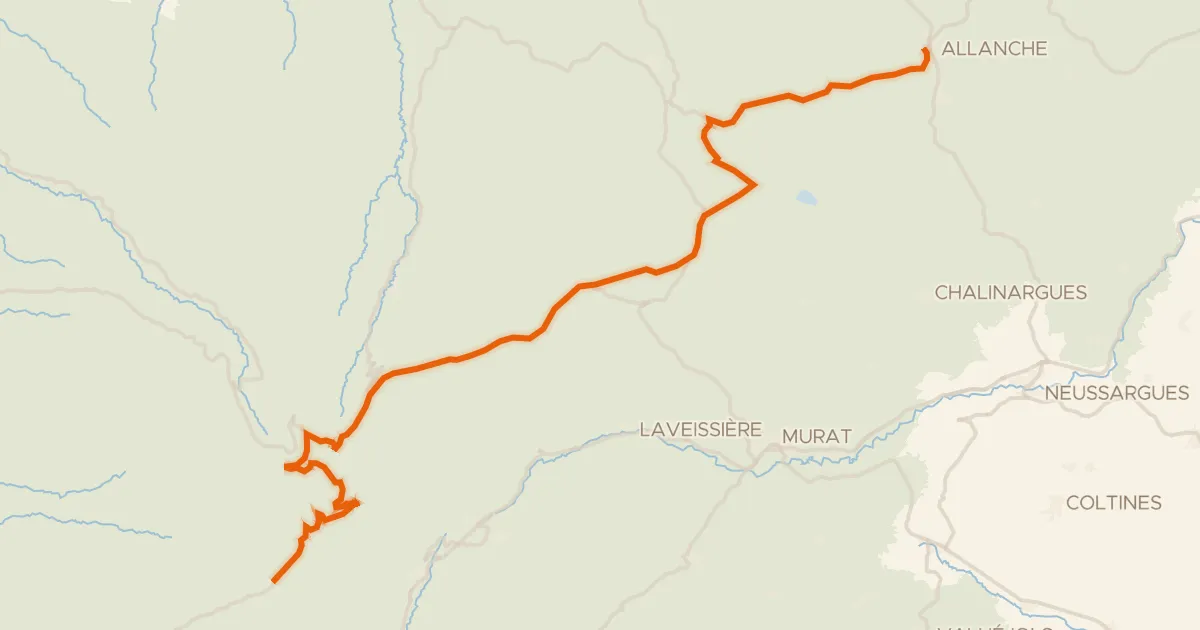
La Grande Traversée du Volcan à Vélo, étape 4, Mandailles-Saint-Julien / Allanche
43 km↑ 1,021 m24 km away
Col d'Eylac · Pas de Peyrol

Road bike100% paved
Castle loop over the hills of La Truyère
77 km↑ 1,244 m26 km away