Back to the librarykm 10 · May 2026 · © connermacleod69 / Mapillary, CC BY-SA km 0–4km 11–15km 41–42km 42–43km 48–49
Road bikeMade by RouteCasterRound trip
Waterside between Le Vezou and L'Épie
Distance
68 km
Ascent
861 m
Highest point
1,116 m
100% paved
Start from your location
Ride there from home: we find the shortest way to the loop and start the loop from there.
The ride
Roll out of Pierrefort and follow the route as it unfolds, first along the Le Vezou river. Two castles break up the ride, the Château de Paulhac and the Château du Jarry, before you cross the Parc naturel régional des Volcans d'Auvergne. The loop then follows the L'Épie river on the way back to Pierrefort. All 68.4 km are paved, with 861 m of climbing along the way.
Along the way
Climbs
Climb 1Cat. 4
3.6 km at 3.9% · max 17.5%
Climb 2Cat. 4
3.4 km at 3.2% · max 13.5%
Climb 3Hill
1 km at 6.2% · max 14.6%
Climb 4Hill
0.9 km at 4% · max 10.6%
Climb 5Hill
1 km at 4% · max 8.1%
Routes nearby

Road bike100% paved
Castles between La Truyère and La Bromme
69 km↑ 1,383 m8 km away

Road bike99% paved
Castles between Lavastrie and Paulhac
93 km↑ 1,401 m16 km away
Touring
VTT-FFC- N°7 - Tour du Griou
21 km↑ 850 m21 km away
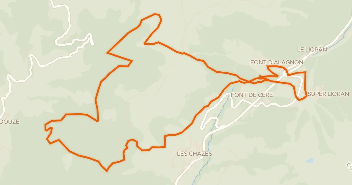
Col du Gliziou · Col de Font de Cère

Gravel35% paved
Waterside between Le Rioumau and Le Lebot
70 km↑ 1,359 m23 km away

Road bike100% paved
Castles between La Truyère and Le Bès
79 km↑ 1,393 m24 km away
Road bike98% paved
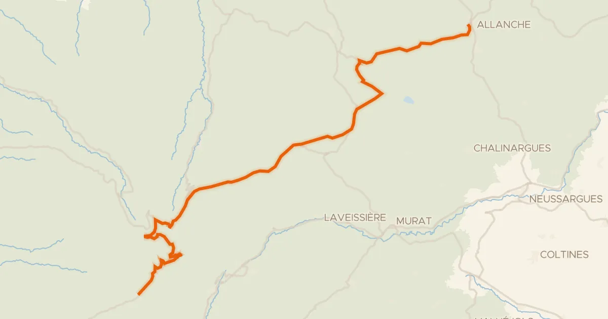
La Grande Traversée du Volcan à Vélo, étape 4, Mandailles-Saint-Julien / Allanche
43 km↑ 1,021 m26 km away
Col d'Eylac · Pas de Peyrol