Back to the librarykm 2–4km 5–11km 13–13km 17–24km 35–35km 39–50km 52–58
GravelMade by RouteCasterRound trip
Climb along the Villgratenbach
Distance
61 km
Ascent
3,798 m
Highest point
2,895 m
27% paved
Start from your location
Ride there from home: we find the shortest way to the loop and start the loop from there.
The ride
This ride rolls out of Außervillgraten and back again, with plenty of climbing along the way. You pass the Villgratenbach river and later the Drau, and with most of the route unpaved, the surface keeps changing underfoot. The elevation gain of 3798 m makes for a demanding day in the saddle.
Climbs
Climb 1Cat. 2
1.3 km at 25.5% · max 72.7%
Climb 2HC
5.7 km at 14.6% · max 47%
Climb 3Hill
0.3 km at 10.6% · max 22.4%
Climb 4HC
7.4 km at 20.5% · max 65.2%
Climb 5Hill
0.3 km at 16.3% · max 35.1%
Climb 6Cat. 2
10.5 km at 4.7% · max 37.2%
Climb 7Cat. 2
6.2 km at 6.3% · max 51.2%
Routes nearby
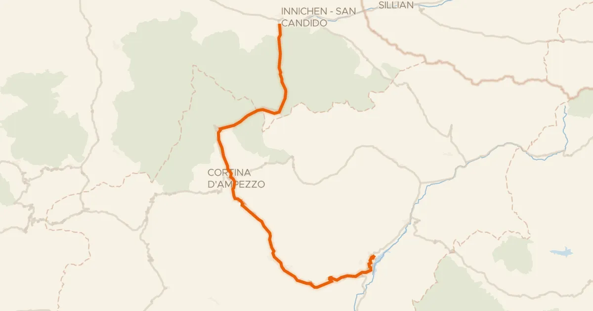
Gravel57% paved
E1 - La Lunga Via delle Dolomiti
66 km↑ 1,195 m28 km away
Im Gemärk - Passo Cimabanche
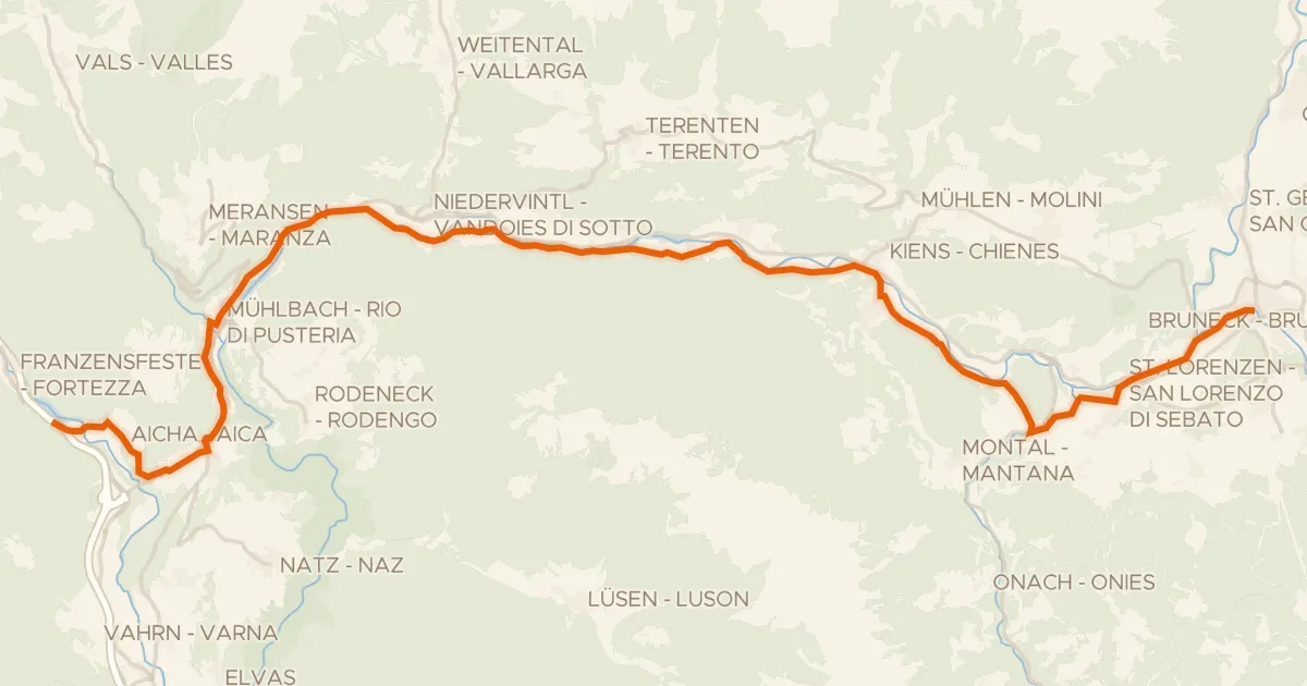
Road bike98% paved
Cycle 3: Franzensfeste => Bruneck
34 km↑ 712 m49 km away

Gravel23% paved
Rondje Torrente Bût
60 km↑ 4,070 m53 km away

Gravel30% paved
Waterside route between Kaprun and Niedernsill
58 km↑ 3,133 m54 km away
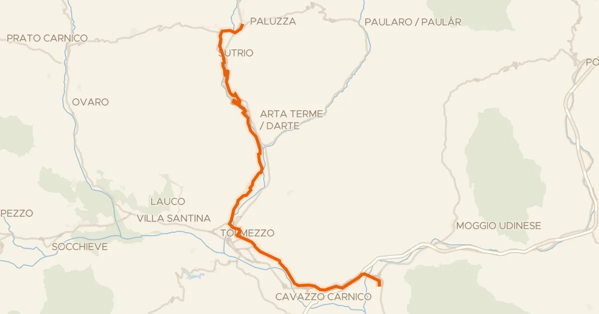
Touring91% paved
FVG8 - Ciclovia della Carnia
34 km↑ 253 m61 km away

Gravel54% paved
Rondje Trostburg en L Ciastel - Fischburg - Castel Gardena
57 km↑ 2,492 m66 km away