Back to the librarykm 1–7km 8–8km 9–12km 15–18km 28–29km 33–34km 34–34km 36–37km 37–44km 46–47km 48–50km 55–57
GravelMade by RouteCasterRound trip
Rondje Trostburg en L Ciastel - Fischburg - Castel Gardena
Distance
57 km
Ascent
2,492 m
Highest point
1,878 m
54% paved
Start from your location
Ride there from home: we find the shortest way to the loop and start the loop from there.
The ride
Roll out of Urtijëi and follow the Grödner Bach river before climbing past Fischburg castle. Next comes the Schlern-Rosengarten nature reserve, then the Eisack river and Trostburg castle on the way round. With 56.6 km and plenty of climbing, the route mixes paved and unpaved riding. It all loops back to where you started.
Climbs
Climb 1Cat. 2
6.3 km at 8.4% · max 49.5%
Climb 2Hill
0.2 km at 12.9% · max 16.9%
Climb 3Cat. 4
3.3 km at 3.6% · max 12.8%
Climb 4Cat. 3
2.5 km at 8.1% · max 15.9%
Climb 5Cat. 4
0.6 km at 13.8% · max 19.5%
Climb 6Hill
0.2 km at 16.3% · max 27%
Climb 7Hill
0.3 km at 16.4% · max 22.4%
Climb 8Hill
0.6 km at 6.1% · max 18.3%
Climb 9Cat. 1
7 km at 11.4% · max 45.6%
Climb 10Hill
1.2 km at 5% · max 9.9%
Climb 11Cat. 3
2.4 km at 12.2% · max 24%
Climb 12Cat. 4
2 km at 4.6% · max 11.2%
Routes nearby
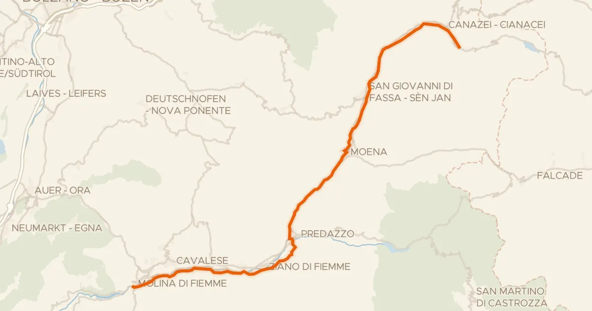
Road bike99% paved
Ciclovia delle Valli di Fiemme e Fassa
48 km↑ 1,001 m23 km away
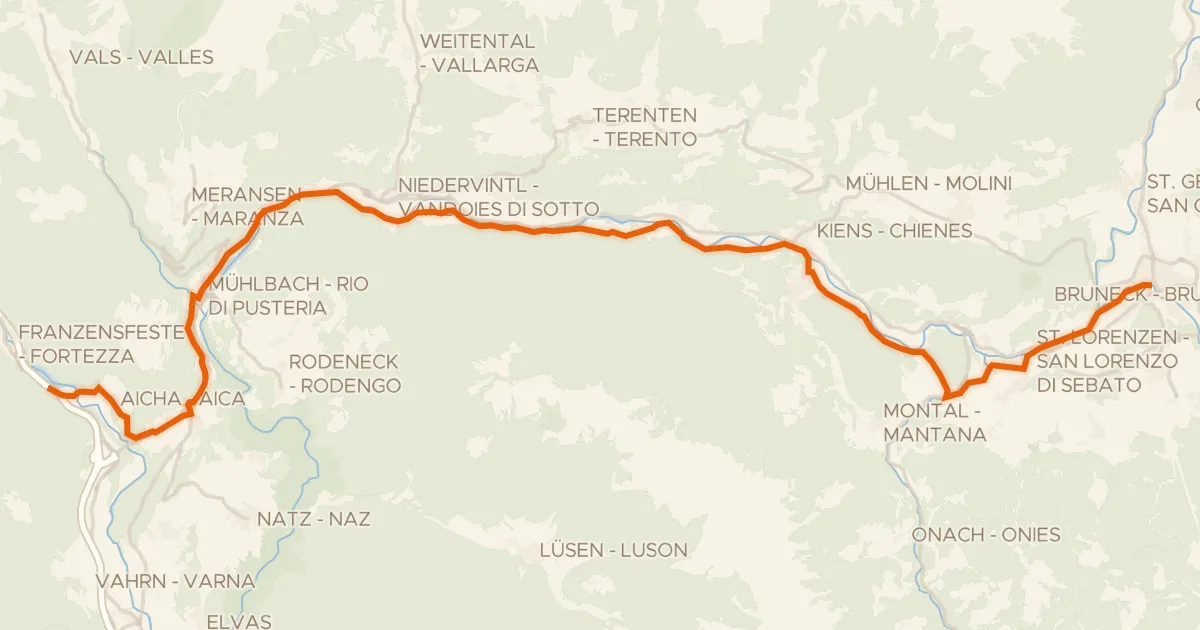
Road bike98% paved
Cycle 3: Franzensfeste => Bruneck
34 km↑ 712 m26 km away

Gravel9% paved
Langs de Torrente Travignolo en de Torrente Avisio
56 km↑ 2,824 m30 km away
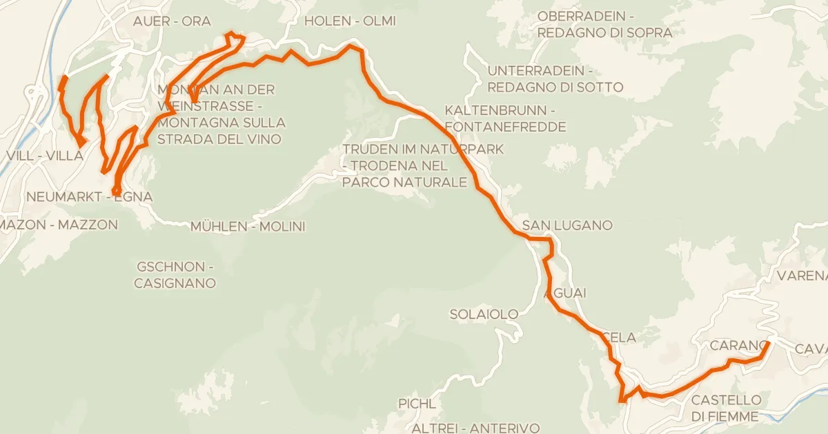
Gravel43% paved
Ehemalige Fleimstalbahn - ex Ferrovia della Val di Fiemme
33 km↑ 1,251 m37 km away
Passo di San Lugano - San-Lugano-Sattel
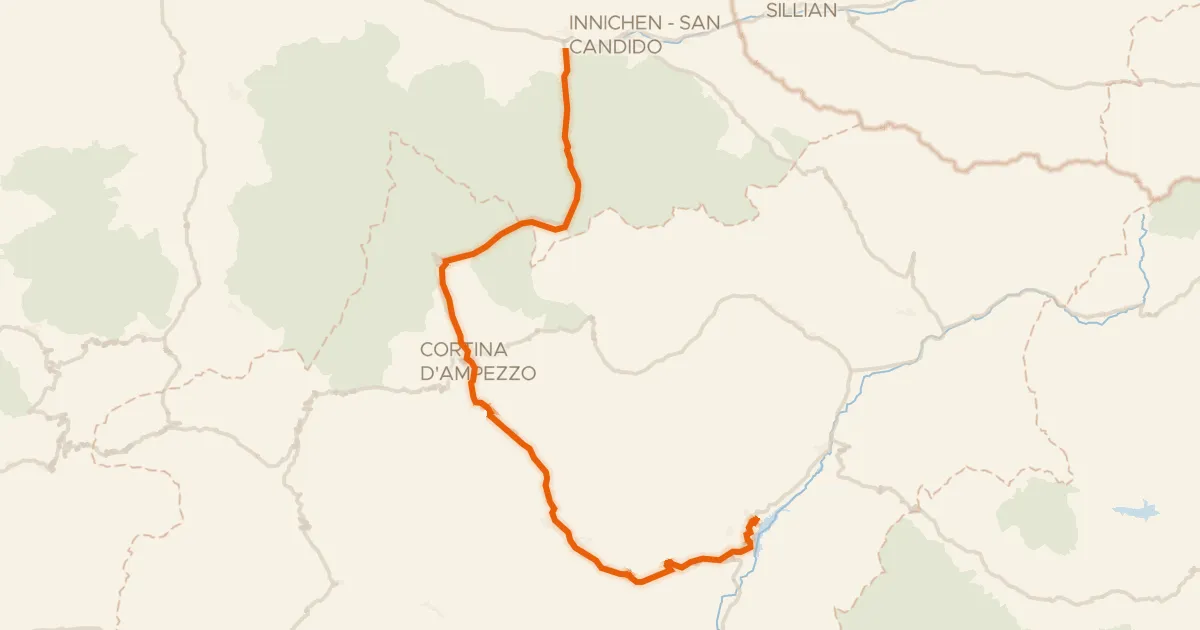
Gravel57% paved
E1 - La Lunga Via delle Dolomiti
66 km↑ 1,195 m44 km away
Im Gemärk - Passo Cimabanche

Gravel28% paved
Rondje Castel Pergine en Lago di Madrano
64 km↑ 3,018 m58 km away