Back to the librarykm 1–5km 5–7km 8–9km 10–10km 10–11km 13–13km 15–16km 19–20km 21–22km 22–22km 23–24km 25–26km 26–27km 29–30km 32–32km 32–35km 37–39km 39–40km 45–46km 48–51km 52–55
GravelMade by RouteCasterRound trip
Rondje Torrente Bût
Distance
60 km
Ascent
4,070 m
Highest point
1,789 m
23% paved
Start from your location
Ride there from home: we find the shortest way to the loop and start the loop from there.
The ride
This ride starts and finishes in Paluzza and packs in 4070 m of climbing along the way. You roll out from the village, follow the Torrente Bût river, and later meet the same river again before heading home. With 77% of the route unpaved, most of the riding happens off the paved surface. It's a loop that keeps the climbing coming and brings you back to where you began.
Climbs
Climb 1Cat. 4
3.5 km at 4.3% · max 17.7%
Climb 2Cat. 3
1.8 km at 10.7% · max 36.7%
Sella ValcaldaCat. 4
0.9 km at 17.6% · max 34%
Climb 4Hill
0.2 km at 17.8% · max 20%
Climb 5Cat. 4
1 km at 10.4% · max 16%
Climb 6Hill
0.7 km at 10.8% · max 21.7%
Climb 7Hill
0.7 km at 8.6% · max 18.2%
Climb 8Cat. 4
1.1 km at 10% · max 27.4%
Climb 9Cat. 4
0.9 km at 15.8% · max 39.6%
Climb 10Hill
0.5 km at 11.6% · max 18.3%
Climb 11Cat. 3
1.4 km at 17.2% · max 38.3%
Climb 12Cat. 3
1 km at 20.1% · max 57.8%
Climb 13Hill
0.4 km at 10.2% · max 16%
Climb 14Cat. 4
1 km at 10.8% · max 18.5%
Climb 15Hill
0.3 km at 17% · max 30.9%
Climb 16Cat. 3
2.8 km at 10.7% · max 42.6%
Forcella DolacisCat. 3
2.5 km at 9.6% · max 28%
Climb 18Hill
0.6 km at 5.9% · max 15.1%
Climb 19Cat. 4
1 km at 14.2% · max 29.5%
Climb 20Cat. 2
3.2 km at 16.4% · max 53.3%
Climb 21HC
3.3 km at 26.2% · max 64.4%
Routes nearby
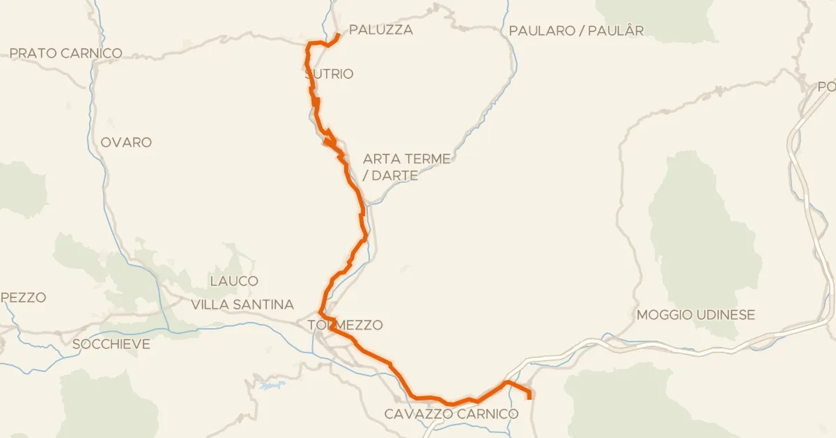
Touring91% paved
FVG8 - Ciclovia della Carnia
34 km↑ 253 m10 km away
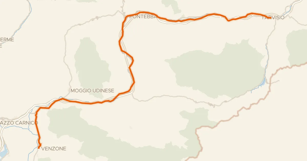
Road bike99% paved
Alpe Adria Radweg Etappe 6
57 km↑ 559 m29 km away
Sella di Camporosso

Road bike100% paved
Rondje Castello di Gemona en Tagliamento
87 km↑ 1,966 m31 km away

Gravel20% paved
Rondje Fiume Meduna en Torrente Cosa
62 km↑ 2,659 m38 km away

Road bike100% paved
Rondje Castello Di Prampero en Torrente Torre
76 km↑ 375 m44 km away

Road bike100% paved
Rondje Rovine Castello della Motta en Torrente Torre
71 km↑ 337 m46 km away