Back to the librarykm 18–22km 22–23km 28–30
Road bikeMade by RouteCasterRound trip
Waterside through the Fougerolles hills
Distance
74 km
Ascent
836 m
Highest point
549 m
100% paved
Start from your location
Ride there from home: we find the shortest way to the loop and start the loop from there.
The ride
Roll out of Plombières-les-Bains and let the ride unfold, 73.5 km of paved road with 836 m of climbing along the way. You pass the Parc naturel régional des Ballons des Vosges, then follow the L'Augronne and the Le Breuchin rivers before the La Semouse joins the story. Every metre is paved, so the surface stays predictable while the elevation does the talking. The loop brings you back to where you started.
Climbs
Climb 1Cat. 4
3.8 km at 3.7% · max 10.7%
Climb 2Hill
1.1 km at 5.5% · max 7.8%
Climb 3Hill
2 km at 3% · max 8.6%
Routes nearby

Road bike99% paved
Rondje Château des Bouly en L'Augronne
87 km↑ 942 m12 km away

Gravel25% paved
Rondje La Moselle en La Moselotte
64 km↑ 1,624 m15 km away
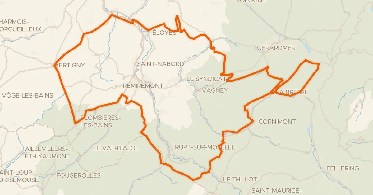
Road bike100% paved
Granfondo Vosges
181 km↑ 3,780 m18 km away
Col des Feignes sous Vologne · Col de Bonnefontaine
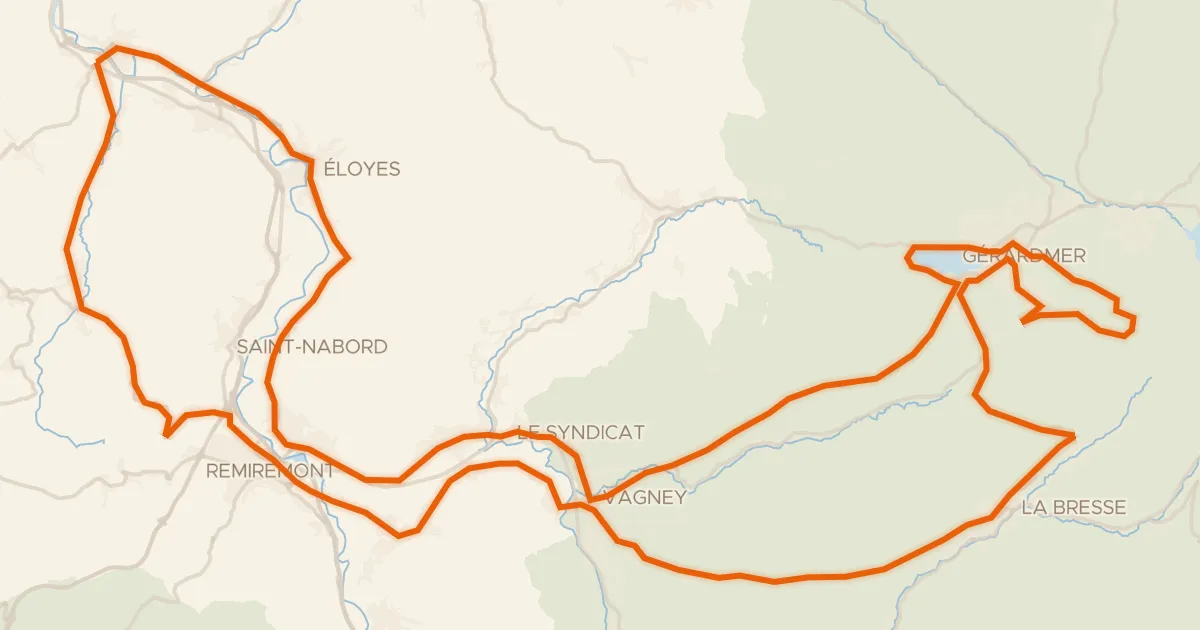
Road bike100% paved
La route des 4 cols
117 km↑ 2,059 m22 km away
Col de la Croix des Moinats · Col de Sapois

Gravel13% paved
Langs de La Moselle en het Canal
60 km↑ 2,046 m25 km away

Road bike98% paved
Rondje Château de Breuches en La Lanterne
74 km↑ 665 m26 km away