Back to the librarykm 5–6km 17–18km 21–22km 27–27km 32–34km 35–36km 36–37km 41–41km 42–42km 45–46km 50–51
GravelMade by RouteCasterRound trip
Waterside route through the Förnbacher Forst
Distance
59 km
Ascent
896 m
Highest point
530 m
11% paved
Start from your location
Ride there from home: we find the shortest way to the loop and start the loop from there.
The ride
Roll out of Allershausen and let the ride unfold: first through the Ampertal nature reserve, then along the Glonn river, into the Förnbacher Forst forest, and back beside the Amper river to where you started. It's 59.3 km with 896 m of climbing, and most of it runs unpaved. A loop that keeps changing what's under your wheels.
Climbs
Climb 1Hill
1.1 km at 3.6% · max 8.3%
Climb 2Hill
1.3 km at 5.1% · max 12.2%
Climb 3Hill
1.8 km at 4.3% · max 17%
Climb 4Hill
0.5 km at 8.2% · max 10.3%
Climb 5Cat. 4
1.8 km at 4.5% · max 15.2%
Climb 6Hill
1.2 km at 4% · max 14.9%
Climb 7Hill
0.5 km at 5.6% · max 10.9%
Climb 8Hill
0.6 km at 4.6% · max 8.7%
Climb 9Hill
0.2 km at 13.8% · max 16.3%
Climb 10Hill
1.1 km at 4.3% · max 7.9%
Climb 11Hill
1.4 km at 3.2% · max 5.6%
Routes nearby
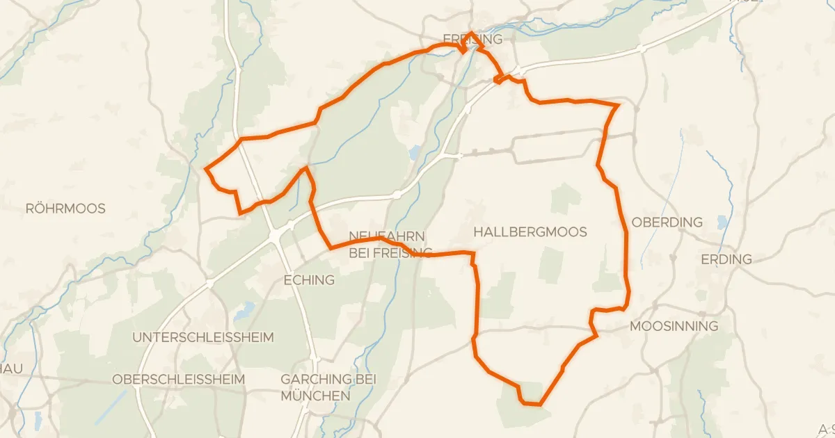
Road bike100% paved
Through the Freisinger Moos to Schloß Notzing
74 km↑ 277 m15 km away
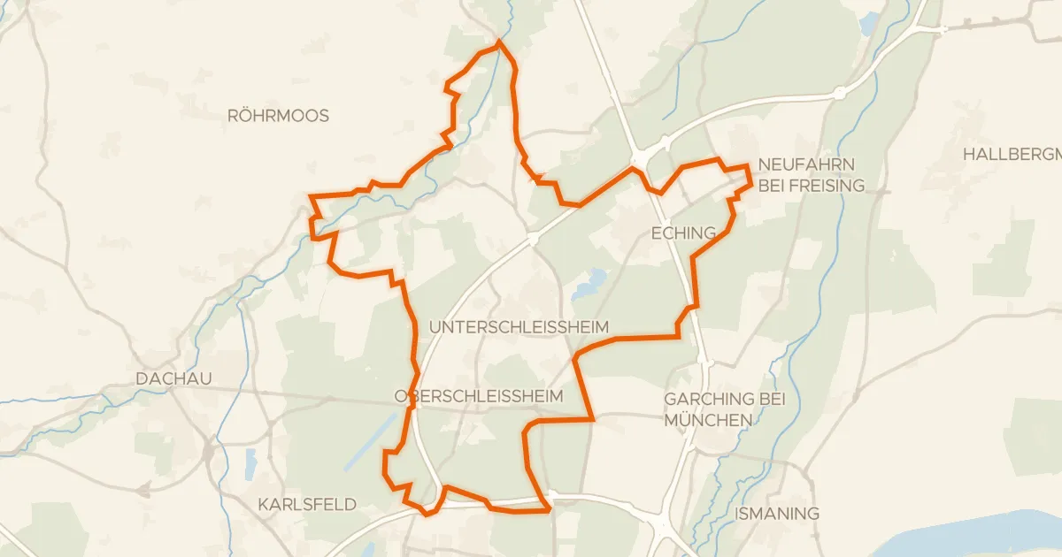
Gravel35% paved
Flat ride past Schloss Lustheim
61 km↑ 139 m16 km away
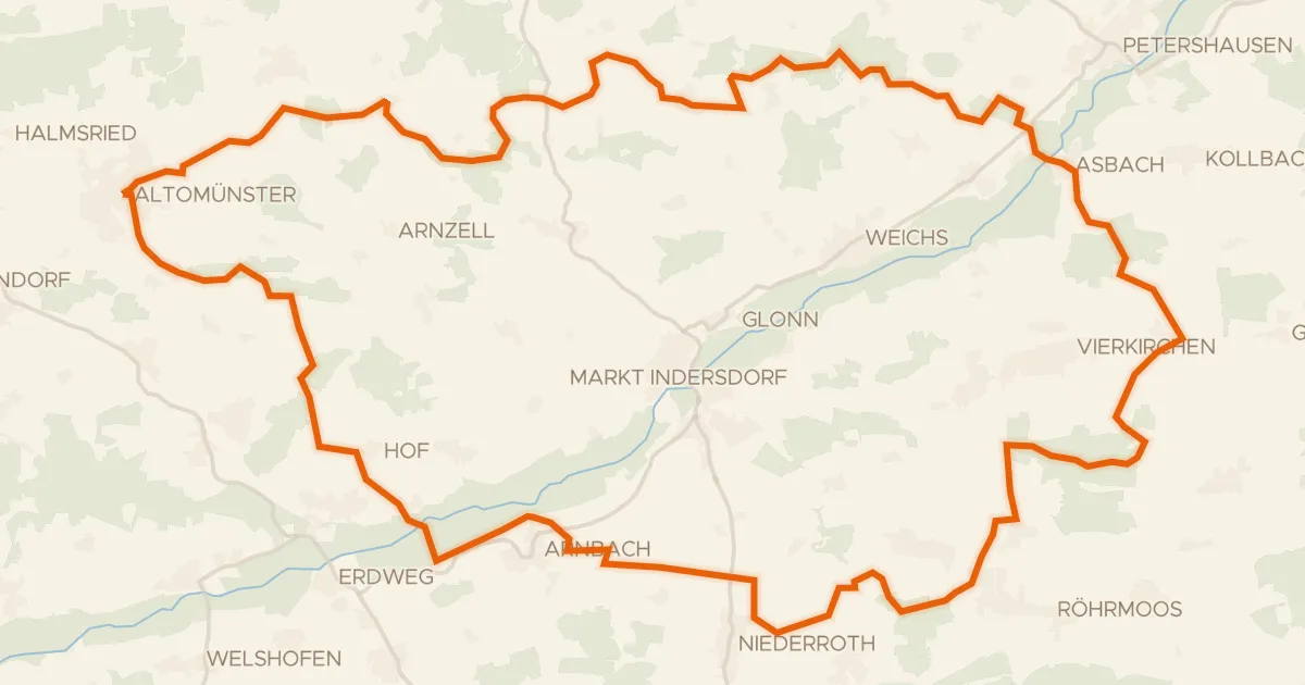
Gravel23% paved
Waterside route from Rettenbach to Asbach
61 km↑ 643 m18 km away
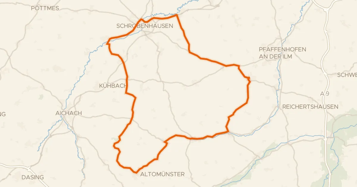
Road bike97% paved
Waterside route from Schiltberg to Altomünster
75 km↑ 686 m21 km away
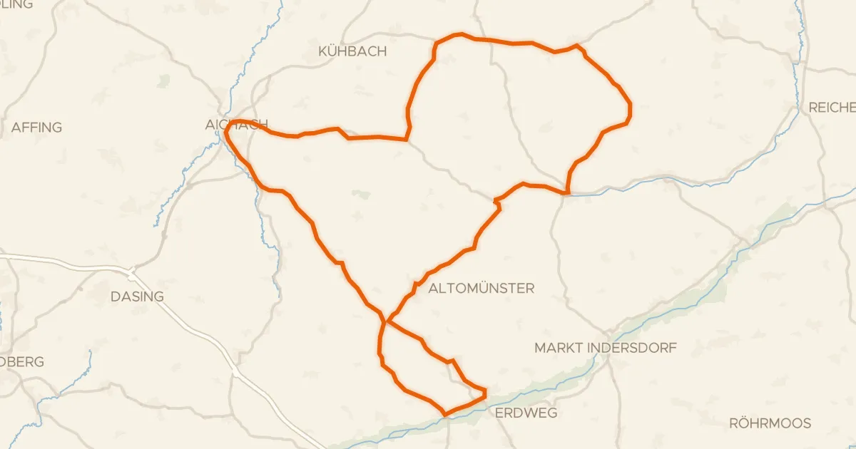
Road bike99% paved
From Aichach over the hills to Hilgertshausen
75 km↑ 674 m25 km away
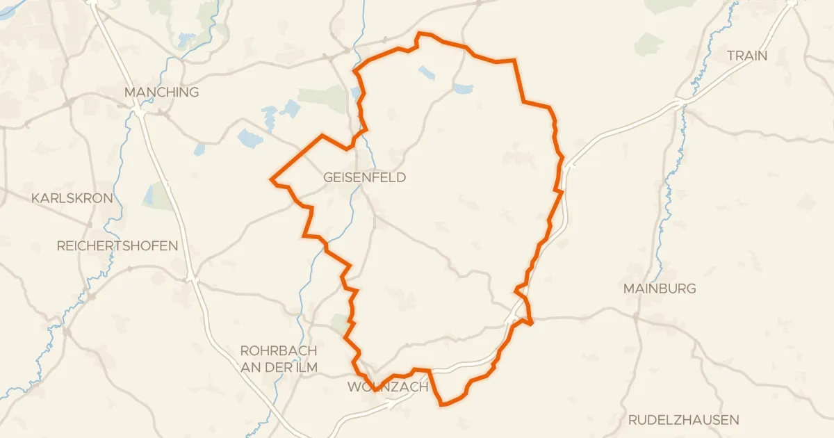
Gravel30% paved
Hills between the Ilm and Dürnbucher Forst
60 km↑ 566 m26 km away