Back to the librarykm 0–6km 13–14km 38–38km 39–44km 50–52km 69–70km 71–71
Road bikeMade by RouteCasterRound trip
Waterside route between the Arno and the Fiume Pesa
Distance
76 km
Ascent
1,648 m
Highest point
729 m
99% paved
Start from your location
Ride there from home: we find the shortest way to the loop and start the loop from there.
The ride
Roll out of Greve in Chianti and let the road carry you past the lake at Bacino di Santa Barbara, then on to the Arno river. Next comes the Parco Naturale di Cavriglia, a nature reserve that breaks up the climbing, before the route follows the Fiume Pesa river. With 1648 m of elevation gain over 75.6 km, it's a day that keeps giving, and it all loops back to where you started.
Climbs
Climb 1Cat. 3
6.2 km at 4.8% · max 21%
Climb 2Hill
1.2 km at 3.5% · max 12.6%
Climb 3Hill
0.4 km at 8.5% · max 14.4%
Climb 4Cat. 2
5.3 km at 8.8% · max 39.6%
Climb 5Cat. 4
1.3 km at 7.2% · max 15%
Climb 6Cat. 4
1.3 km at 7.9% · max 13.7%
Climb 7Hill
0.4 km at 6.9% · max 11.7%
Routes nearby

Gravel8% paved
Gravel between Montefioralle and San Donato in Poggio
58 km↑ 1,711 m6 km away

Road bike100% paved
Castles between the Arno and the Ema
73 km↑ 1,079 m13 km away

Gravel15% paved
Climb between the castles and Santa Colomba
62 km↑ 1,534 m22 km away

Gravel31% paved
Climb along the Torrente Terzolle
61 km↑ 2,114 m29 km away

Road bike96% paved
Waterside route between Capolona and Laterina
80 km↑ 985 m35 km away
Touring91% paved
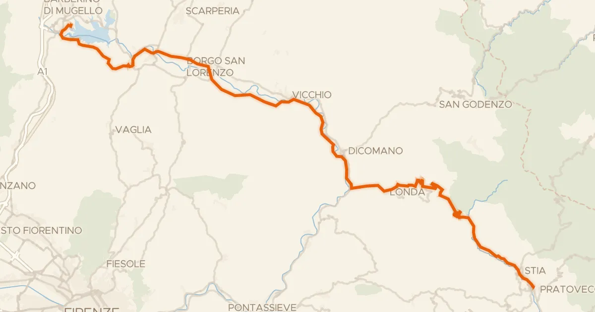
ABT Tappa 10: Barberino del Mugello - Pratovecchio Stia
69 km↑ 1,448 m36 km away
Valico di Croce a Mori