Back to the librarykm 20–21
GravelMade by RouteCasterRound trip
Waterside ride between Roth and Rednitz
Distance
56 km
Ascent
555 m
Highest point
454 m
19% paved
Start from your location
Ride there from home: we find the shortest way to the loop and start the loop from there.
The ride
Roll out of Eckersmühlen and let the ride take you past the Roth river, then the Kleine Roth, before the route skirts the northwest shore of the Rothsee-Hauptsperre nature reserve. From there it's on to the Rednitz river and back to where you started. Of the 56.2 km, most runs unpaved, with 555 m of climbing along the way.
Climbs
Climb 1Hill
1.2 km at 3.1% · max 11.4%
Routes nearby
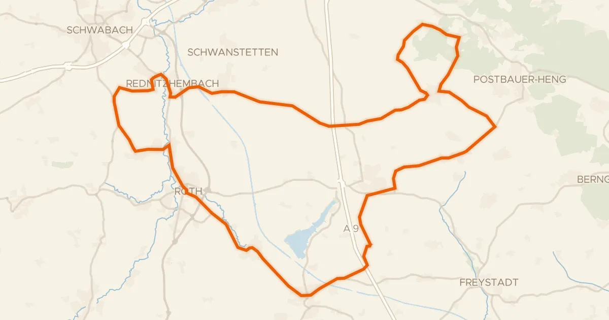
Road bike100% paved
Hills between Pyrbaum and Roth
75 km↑ 618 m6 km away
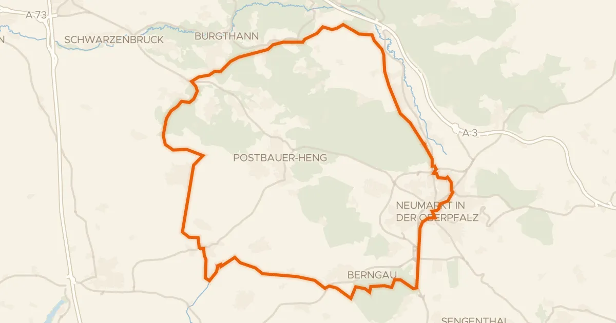
Gravel20% paved
Gravel loop between Seligenporten and Gnadenberg
56 km↑ 401 m19 km away
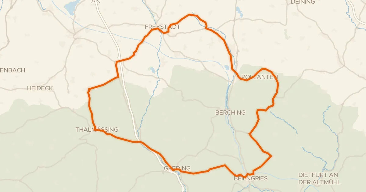
Road bike100% paved
Hills between Stauf and Hirschberg
80 km↑ 777 m19 km away
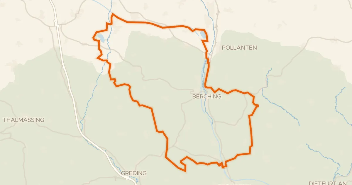
Gravel19% paved
Waterside route between Sulz and Schwarzach
62 km↑ 548 m23 km away
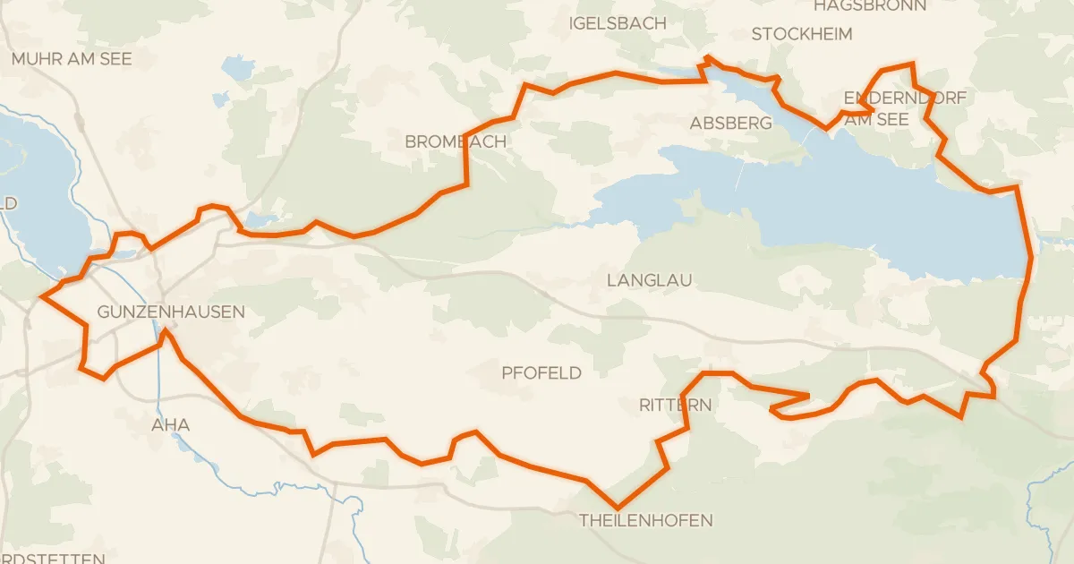
Gravel34% paved
Gravel between the Altmühl and Igelsbachsee
61 km↑ 621 m24 km away
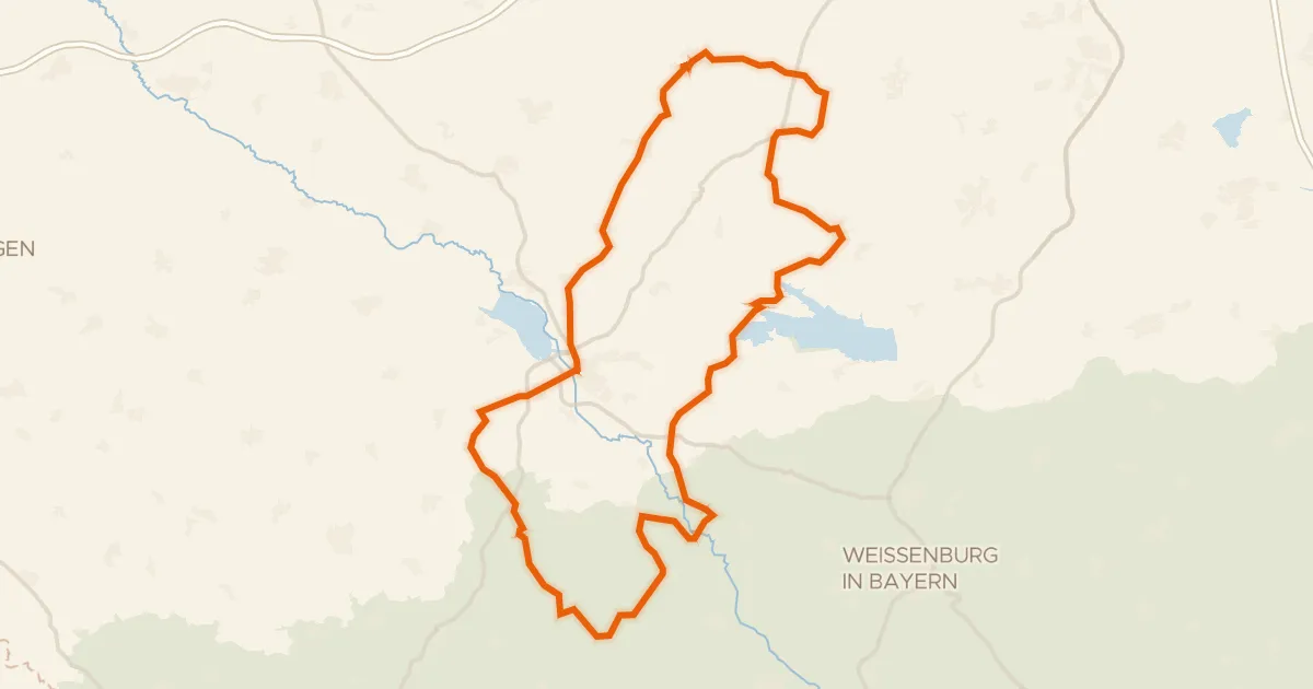
Road bike99% paved
Castles through the Altmühltal
95 km↑ 1,097 m27 km away