Back to the librarykm 43 · Jul 2026 · © brokuli86 / Mapillary, CC BY-SA km 0–4km 11–12km 14–17km 18–19km 19–20km 45–47km 59–60km 63–68km 71–74km 75–76
GravelMade by RouteCasterRound trip
Waterside loop between Lech and Vils
Distance
76 km
Ascent
2,224 m
Highest point
1,529 m
36% paved
Start from your location
Ride there from home: we find the shortest way to the loop and start the loop from there.
The ride
Roll out of Rauth and the ride soon settles into the Naturpark Tiroler Lech, a nature reserve that sets the tone for the day. From there it follows the Vils river and climbs past the Burgruine Vilsegg, a castle ruin, before picking up the Lech river again. A stop by the Frauensee lake rounds things off before the route brings you back to Rauth, with 75.8 km and plenty of climbing along the way.
Along the way
Climbs
Climb 1Cat. 2
3.7 km at 10.3% · max 51%
Climb 2Cat. 4
1.5 km at 6.5% · max 16%
Climb 3Cat. 2
3.3 km at 10% · max 25%
Climb 4Hill
1.1 km at 6.2% · max 17.7%
Climb 5Hill
0.3 km at 15.9% · max 27%
Climb 6Cat. 3
1.3 km at 12.8% · max 39.5%
Climb 7Hill
0.8 km at 4% · max 14.6%
Climb 8Cat. 2
5.3 km at 7.6% · max 30.8%
Climb 9Cat. 3
3 km at 6.7% · max 29.5%
Climb 10Hill
0.5 km at 6.6% · max 15%
Routes nearby
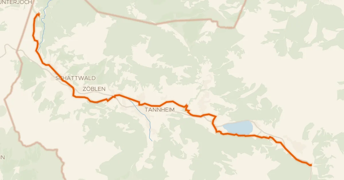
Touring88% paved
Radweg Tannheimertal
20 km↑ 190 m8 km away
Wasserscheide Vils/Lech
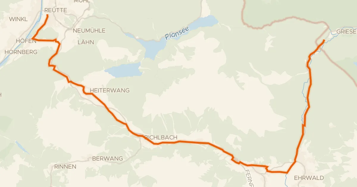
Gravel63% paved
Zwischentoren/Loisachtal
33 km↑ 549 m16 km away

Gravel20% paved
Gravel loop between Bichlbach and Griesen
58 km↑ 1,572 m17 km away
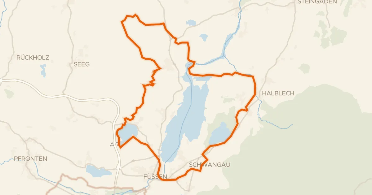
Gravel50% paved
Castle route between Bannwaldsee and the Lech
60 km↑ 638 m20 km away
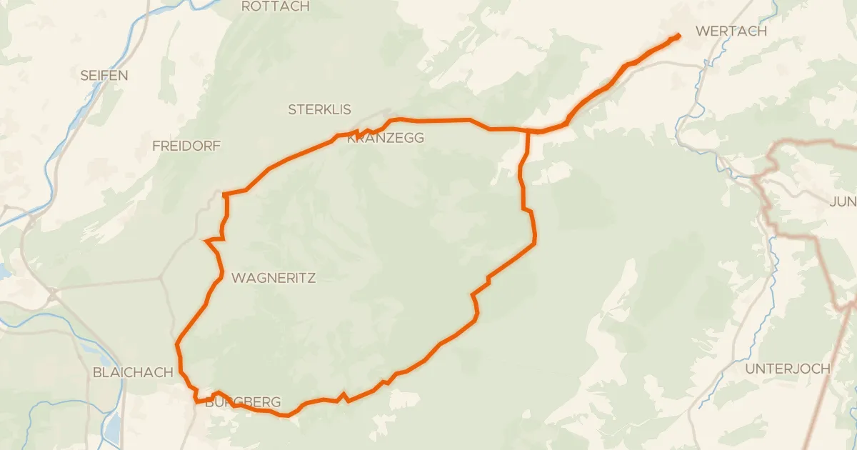
Touring94% paved
19 - Rund um den Grünten
31 km↑ 659 m23 km away
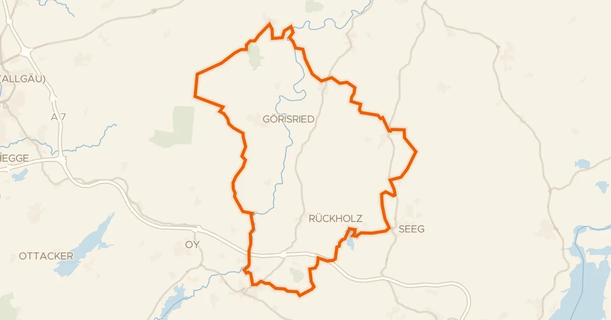
Gravel35% paved
Gravel loop between Schornmoos and Schwaltenweiher
58 km↑ 666 m25 km away