Back to the librarykm 5–5km 8–9km 12–14km 17–18km 21–22km 49–57
GravelMade by RouteCasterRound trip
Waterside between the Fiume Sangro and the Fiume Osento
Distance
61 km
Ascent
1,585 m
Highest point
860 m
30% paved
Start from your location
Ride there from home: we find the shortest way to the loop and start the loop from there.
The ride
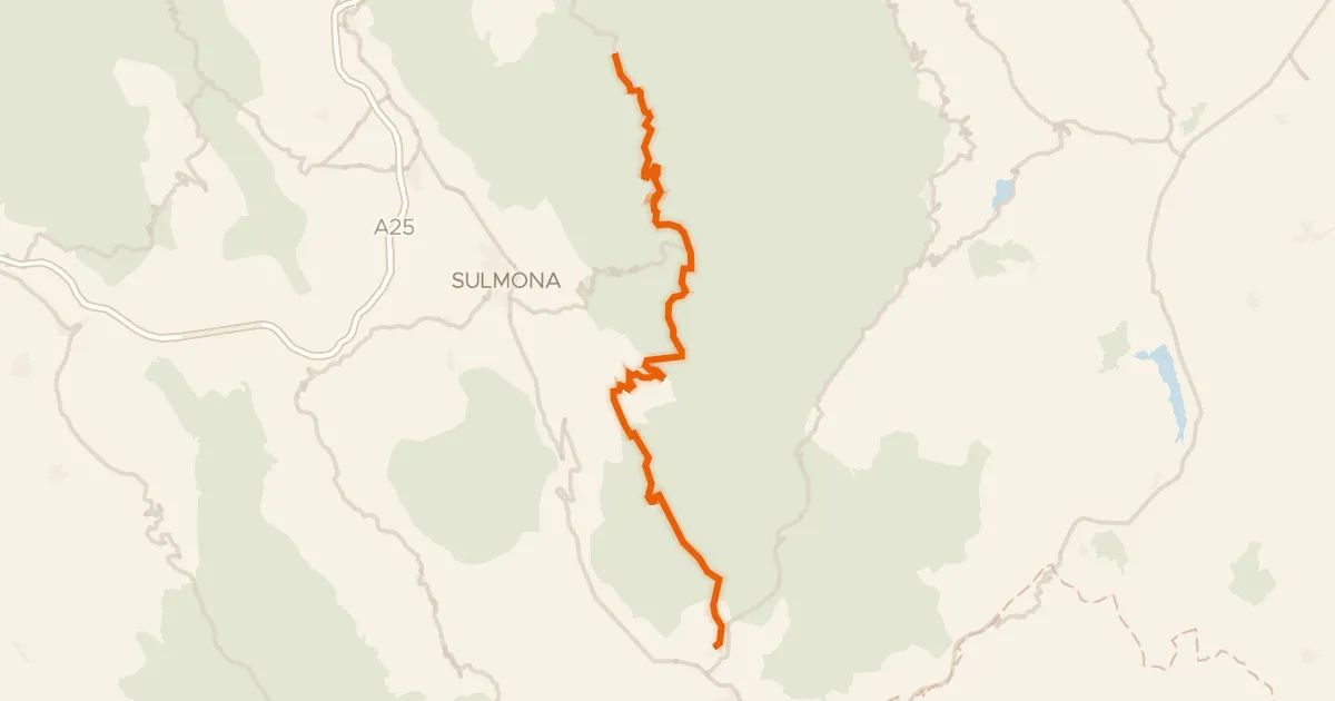
From Tornareccio the route rolls out and back over 60.7 km, with most of it unpaved. You ride past the river Fiume Osento, then follow on to the Fiume Sangro. With 1585 m of climbing along the way, the hills keep the legs working between the two rivers. Back to Tornareccio it is, one loop done.
Climbs
Climb 1Cat. 4
0.5 km at 16.7% · max 22.3%
Climb 2Cat. 3
1.7 km at 9.6% · max 23.7%
Climb 3Cat. 4
1.2 km at 13.3% · max 23.1%
Climb 4Cat. 4
1.3 km at 8.9% · max 16.1%
Climb 5Hill
0.6 km at 7.5% · max 13.4%
Climb 6Cat. 1
8 km at 8.2% · max 25.1%
Routes nearby

Road bike100% paved
Langs de Fiume Sangro en de Fiume Aventino
77 km↑ 1,785 m10 km away

Road bike97% paved
Rondje Castello Ducale Bassi-D'Alanno en Fiume Sangro
96 km↑ 1,517 m11 km away

Gravel33% paved
Langs de Fiume Osento en de Fiume Sangro
60 km↑ 1,116 m18 km away

Road bike96% paved
Rondje Palazzo Farnese en Fiume Sangro
87 km↑ 1,192 m23 km away
Road bike97% paved
ABT Tappa 19: Caramanico Terme - Rivisondoli
55 km↑ 1,536 m31 km away
Passo San Leonardo

Road bike99% paved
Rondje Pescara en Alento
69 km↑ 1,368 m41 km away