Back to the librarykm 2 · Jan 2025 · © sogefi / Mapillary, CC BY-SA km 60 · Feb 2025 · © sogefi / Mapillary, CC BY-SA km 63 · Jan 2025 · © sogefi / Mapillary, CC BY-SA km 2–4km 50–51km 52–53km 64–64
Road bikeMade by RouteCasterRound trip
Waterside along the Luy de Béarn
Distance
81 km
Ascent
775 m
Highest point
227 m
98% paved
Start from your location
Ride there from home: we find the shortest way to the loop and start the loop from there.
The ride
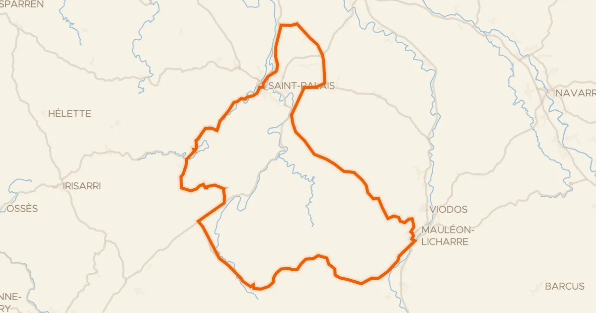
Roll out of Orthez and follow the Gave de Pau, then the Luy de Béarn and the Luy de France as the route loops through the countryside. Along the way you pass the Château Maslacq, and the 81.3 km brings 775 m of climbing, with the surface almost entirely paved. Back to Orthez to close the loop.
Along the way
Climbs
Climb 1Cat. 4
2.3 km at 3.6% · max 13.5%
Climb 2Hill
1.5 km at 3.5% · max 10.3%
Climb 3Hill
0.6 km at 7.7% · max 10.9%
Climb 4Hill
0.7 km at 4.7% · max 7.6%
Routes nearby

Gravel53% paved
Hills between Sarpourenx and Orthez
57 km↑ 634 m6 km away

Gravel53% paved
Hills between Argelos and Peyre
61 km↑ 842 m15 km away

Road bike100% paved
Waterside between Le Saison and Le Gave d'Oloron
75 km↑ 877 m20 km away

Road bike100% paved
Rivers around Cagnotte and Lahontan
74 km↑ 551 m23 km away
Road bike100% paved
Le Chemin de Saint-Jacques
81 km↑ 1,382 m30 km away
Hozkaitzeko Lepoa · Col d’Osquich

Road bike100% paved
Castles between Bidache and Peyrehorade
79 km↑ 874 m35 km away