Back to the librarykm 8–12km 13–16km 16–17km 18–18km 28–29km 30–31km 42–43km 53–54
Road bikeRound trip
Waldviertler Hochlandweg
Distance
73 km
Ascent
1,341 m
Highest point
966 m
100% paved
Start from your location
Ride there from home: we find the shortest way to the loop and start the loop from there.
The ride
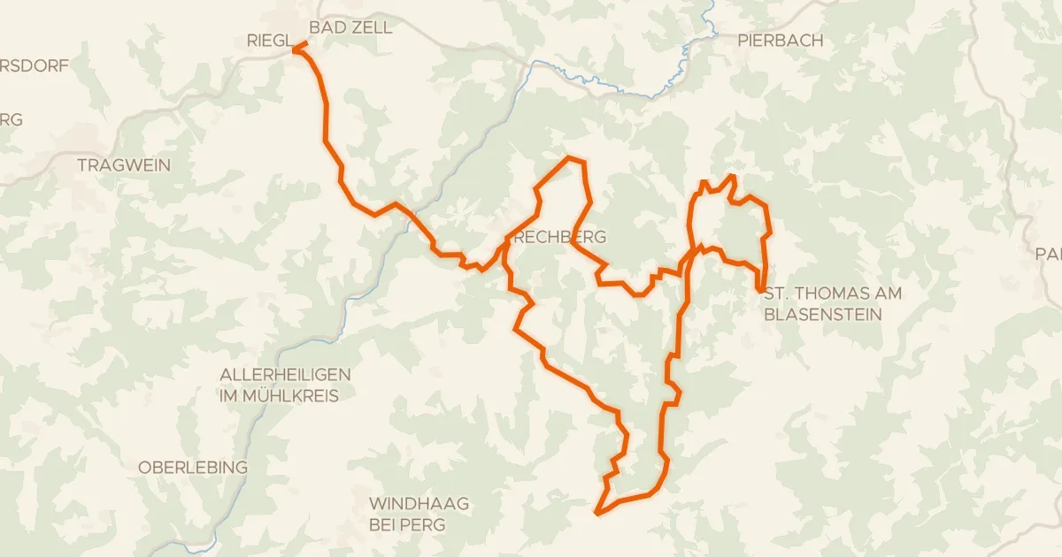
Here's a ride that packs 73.1 km of rolling roads and 1341 m of climbing into one satisfying loop. The elevation gain keeps things interesting, so bring legs that are ready to work. It's a solid day out on the bike, with plenty of ups to earn the downs. Enjoy the rhythm of the road and the climb in your legs.
Climbs
Climb 1Cat. 4
3.3 km at 3.9% · max 20.3%
Climb 2Cat. 3
3.3 km at 5.1% · max 14.1%
Climb 3Hill
0.8 km at 3.9% · max 9.5%
Climb 4Hill
0.6 km at 5.1% · max 11.6%
Climb 5Hill
1.1 km at 3.8% · max 12.1%
Climb 6Hill
1.4 km at 3.8% · max 10.7%
Climb 7Hill
1.2 km at 3.3% · max 11.9%
Climb 8Hill
1.6 km at 4.4% · max 13.4%
Routes nearby
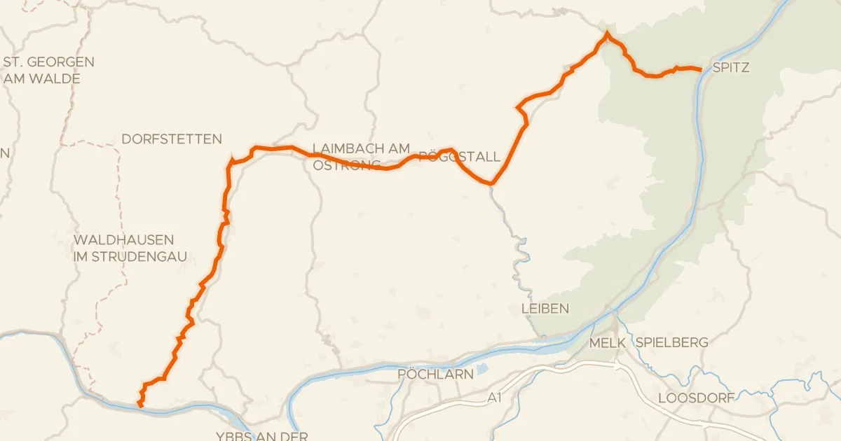
Touring88% paved
Südliches Waldviertel
55 km↑ 918 m22 km away
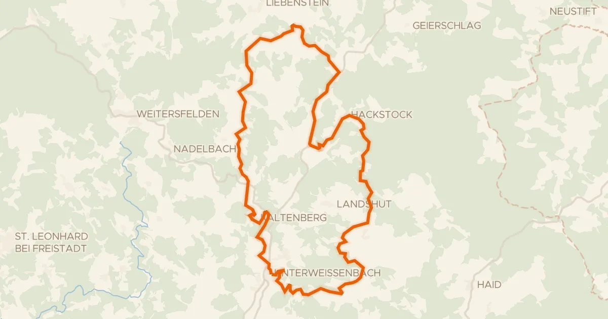
Road bike98% paved
Fernblick-Radroute Nr. 953
31 km↑ 862 m25 km away
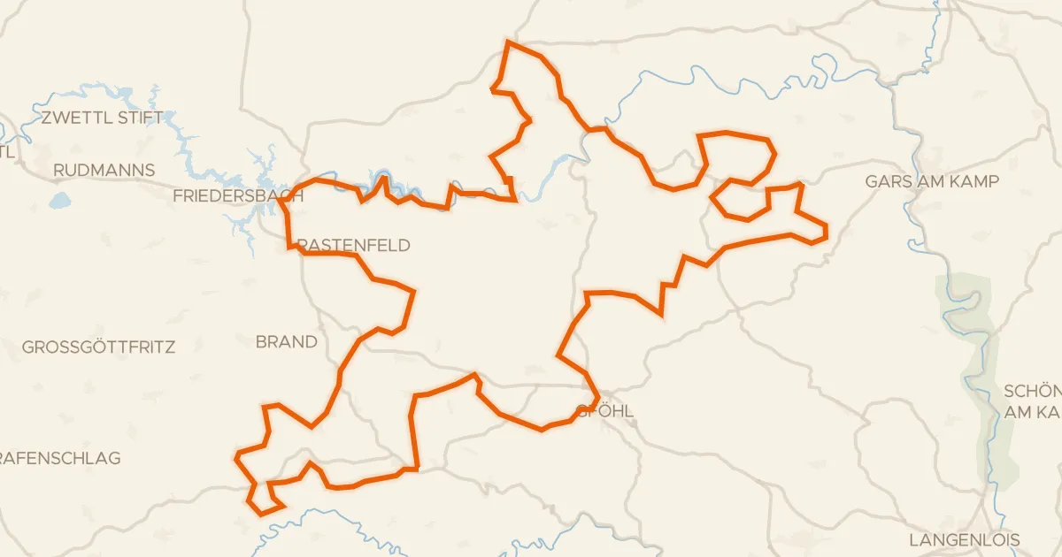
Road bike100% paved
Kampseen "Volt"-Radrunde
128 km↑ 2,326 m26 km away
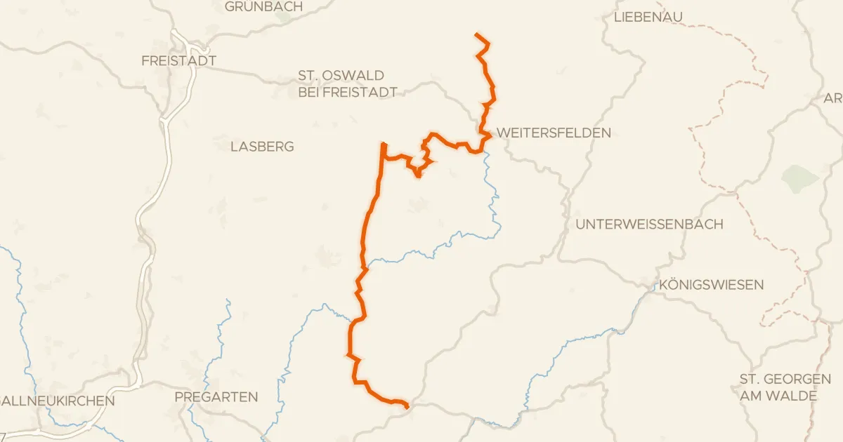
Road bike100% paved
Alm Aisttal Radroute
37 km↑ 1,020 m33 km away
Road bike100% paved
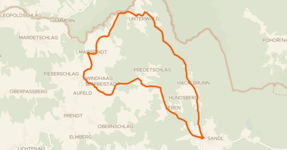
Naturpark Mühlviertel Radweg (1)
31 km↑ 896 m36 km away
Road bike100% paved
Radrunde Viehberg-Maltsch
22 km↑ 445 m40 km away