Back to the librarykm 0–4km 6–7km 9–11km 11–12km 14–19km 21–22km 26–27
Road bikeRound trip
Fernblick-Radroute Nr. 953
Distance
31 km
Ascent
862 m
Highest point
965 m
98% paved
Start from your location
Ride there from home: we find the shortest way to the loop and start the loop from there.
The ride
Here's a 31.0 km ride with 862 m of climbing, mostly on paved surface — 98% paved, just 2% unpaved. Country roads make up 61% of the route, with 20% tertiary and 16% secondary roads filling out the rest. Traffic exposure stays low: 1% runs on protected cycleways or bike-network roads, and 0% sits on busy roads over 50 km/h without a cycle path. Enjoy the mix of climbing and quiet roads.
Climbs
Climb 1Cat. 3
4.1 km at 6.1% · max 16%
Climb 2Hill
0.6 km at 8% · max 16.2%
Climb 3Hill
1.5 km at 4.7% · max 12.5%
Climb 4Hill
0.9 km at 3% · max 7.3%
Climb 5Cat. 3
4.7 km at 3.8% · max 18.2%
Climb 6Hill
1.1 km at 3.7% · max 11.3%
Climb 7Hill
1.1 km at 3.9% · max 14.5%
Routes nearby
Road bike100% paved
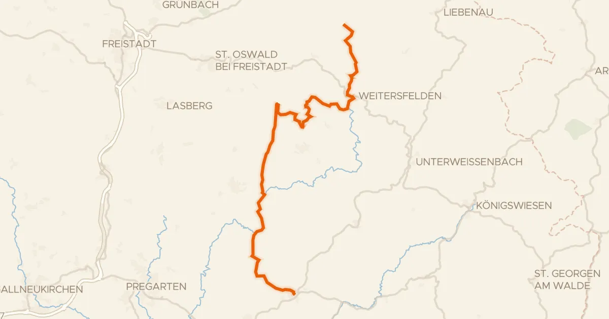
Alm Aisttal Radroute
37 km↑ 1,020 m8 km away
Road bike100% paved
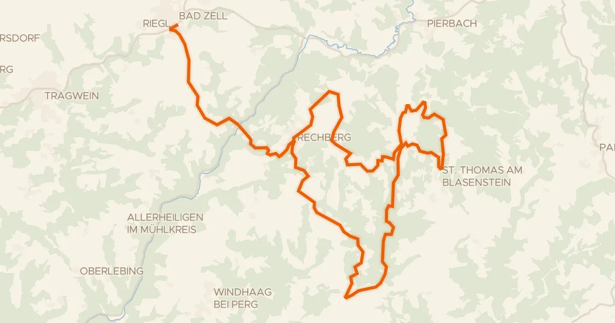
Naturpark Mühlviertel Radweg (1)
31 km↑ 896 m14 km away
Road bike100% paved
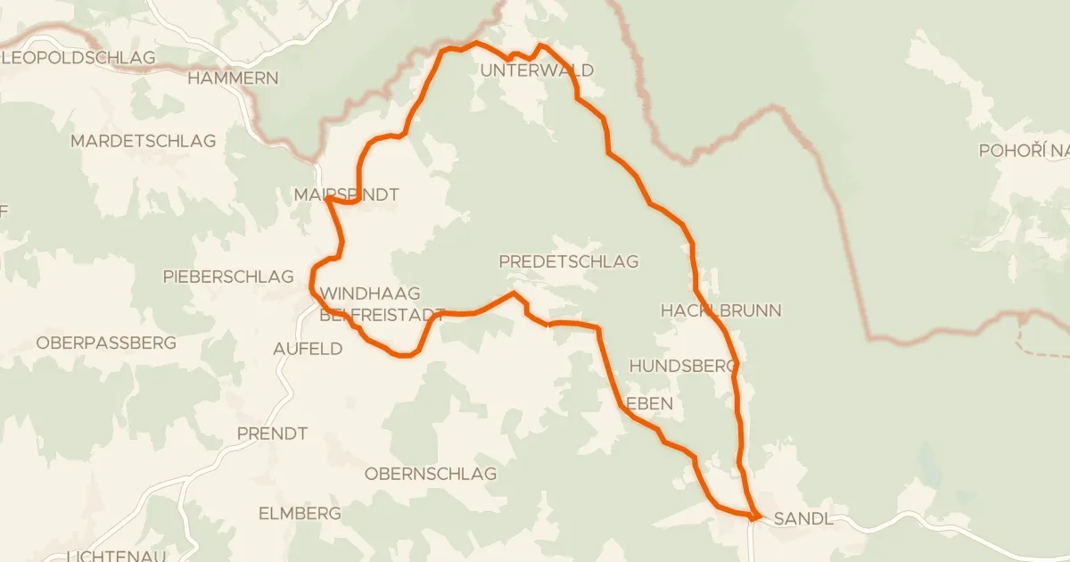
Radrunde Viehberg-Maltsch
22 km↑ 445 m22 km away
Road bike99% paved
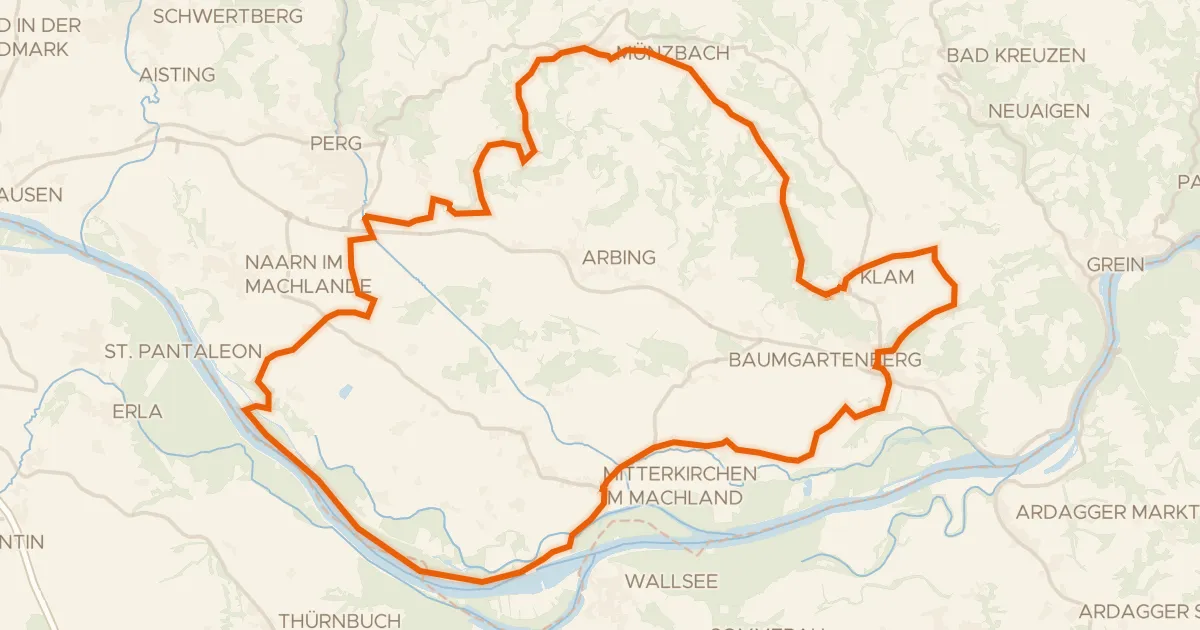
Alpenblick-Runde
52 km↑ 536 m25 km away
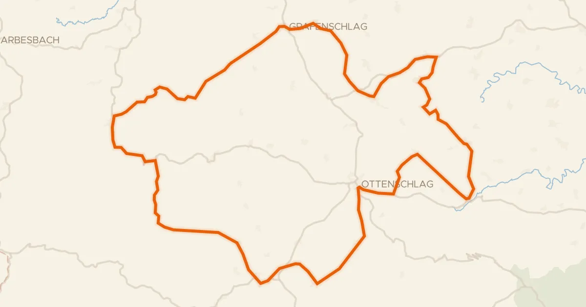
Road bike100% paved
Waldviertler Hochlandweg
73 km↑ 1,341 m29 km away
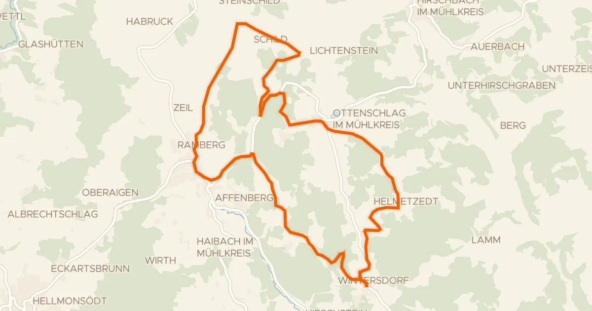
Road bike100% paved
S23, Steinbloß Runde
21 km↑ 500 m30 km away