Back to the library
Road bikeRound trip
Töddenland Radweg
Distance
123 km
Ascent
571 m
Highest point
169 m
95% paved
Start from your location
Ride there from home: we find the shortest way to the loop and start the loop from there.
The ride
Here's a 122.6 km ride with 571 m of climbing, and 95% of it is paved with just 4% unpaved. Country roads make up 41% of the route, residential roads 34%, and paths 6%. Half the ride runs on protected cycleways or bike-network roads, and none of it puts you on busy roads above 50 km/h without a cycle path. Roll out and enjoy the mix.
Routes nearby
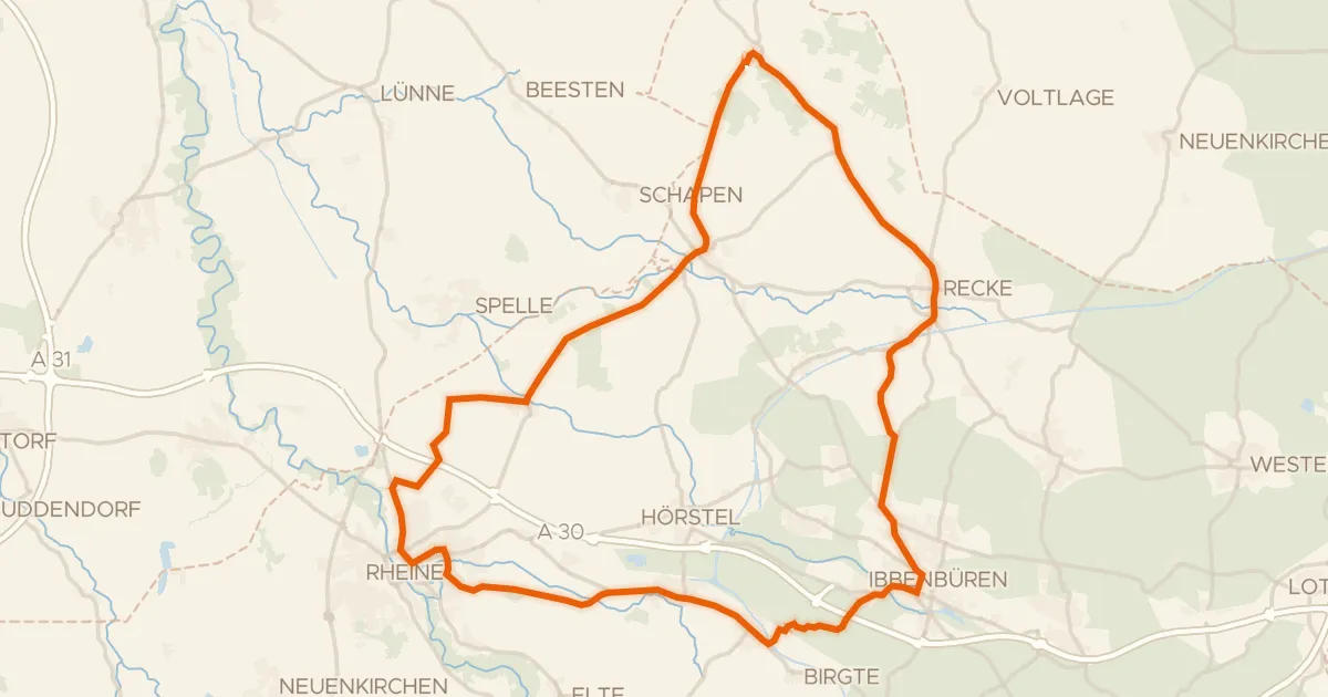
Road bike90% paved
Rondje Zachhorn en Saltenwiese-Fernrodde
73 km↑ 278 m6 km away
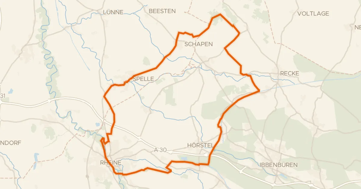
Gravel35% paved
Rondje Kloster Bentlage en Swattet Möörken
72 km↑ 158 m6 km away
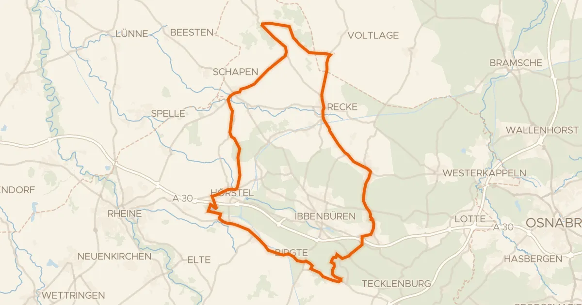
Road bike85% paved
Rondje Dörenther Klippen en Halverder Moor
82 km↑ 361 m11 km away
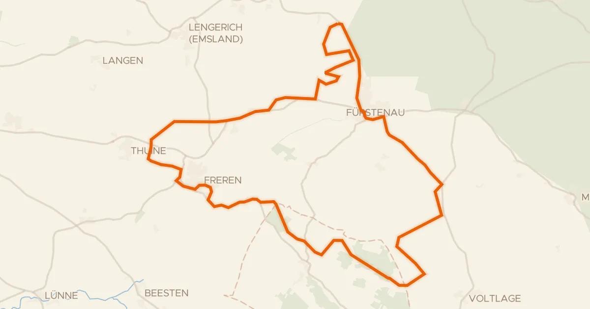
Gravel63% paved
Rondje Swatte Poele en Finkenfeld
60 km↑ 192 m12 km away
Gravel42% paved
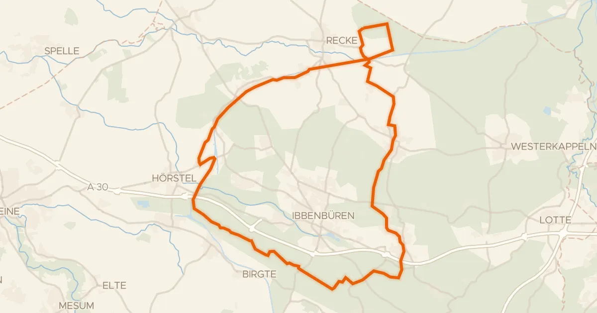
Rondje Recker Moor en Dörenther Klippen
60 km↑ 444 m14 km away
Gravel51% paved
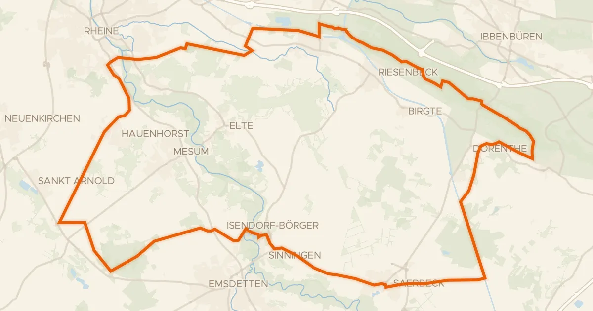
Rondje Dörenther Klippen en Feuchtgebiet Saerbeck
74 km↑ 388 m19 km away