Back to the library
GravelRouteCasterRound trip

Rondje Westhavelland en Havel

Distance
65 km
Ascent
145 m
Highest point
52 m
32% paved

Start from your location

Ride there from home: we find the shortest way to the loop and start the loop from there.

The ride

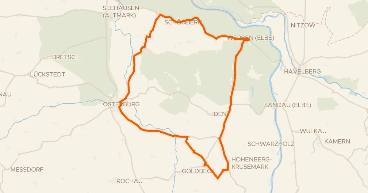
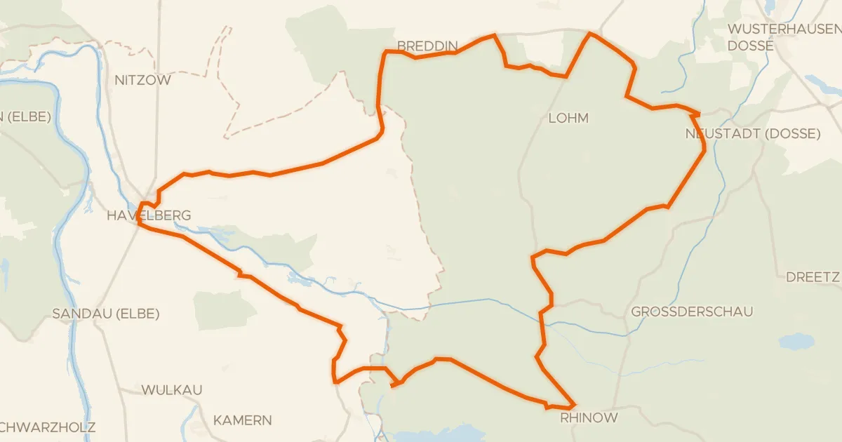
Roll out of Sandau and let the ride unfold: first along the Havel river, then into the Westhavelland nature reserve. Next you follow the Dosse river, before the Untere Havel Nord nature reserve turns you back toward home. Of the 65.2 km, most runs unpaved, with 145 m of climbing spread along the way.
Along the way

km 50 · Aug 2019 · © ramap / Mapillary, CC BY-SA

Routes nearby

More cycling routes in Germany →