Back to the librarykm 2 · Nov 2024 · © dsmm / Mapillary, CC BY-SA km 34 · Dec 2024 · © wentus / Mapillary, CC BY-SA km 50 · Mar 2024 · © wentus / Mapillary, CC BY-SA km 76 · Nov 2024 · © dsmm / Mapillary, CC BY-SA
Road bikeRouteCasterRound trip
Rondje Gülper See en Havel
Distance
77 km
Ascent
137 m
Highest point
52 m
100% paved
Start from your location
Ride there from home: we find the shortest way to the loop and start the loop from there.
The ride
Roll out of Strodehne and straight into the Untere Havel Nord nature reserve, then on through Westhavelland. The Havel river keeps you company before the Gülper See nature reserve, and 77.1 km later you're back where you started. It's all paved, with 137 m of climbing spread along the way.
Along the way
Routes nearby
Gravel32% paved
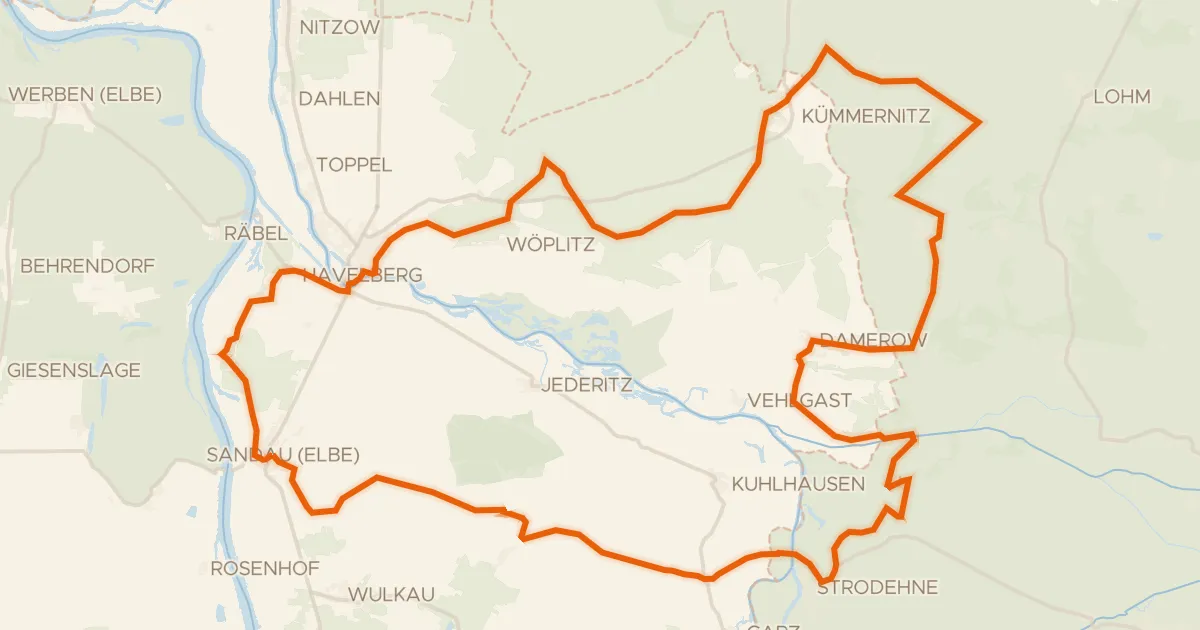
Rondje Westhavelland en Havel
65 km↑ 145 m8 km away
Gravel27% paved
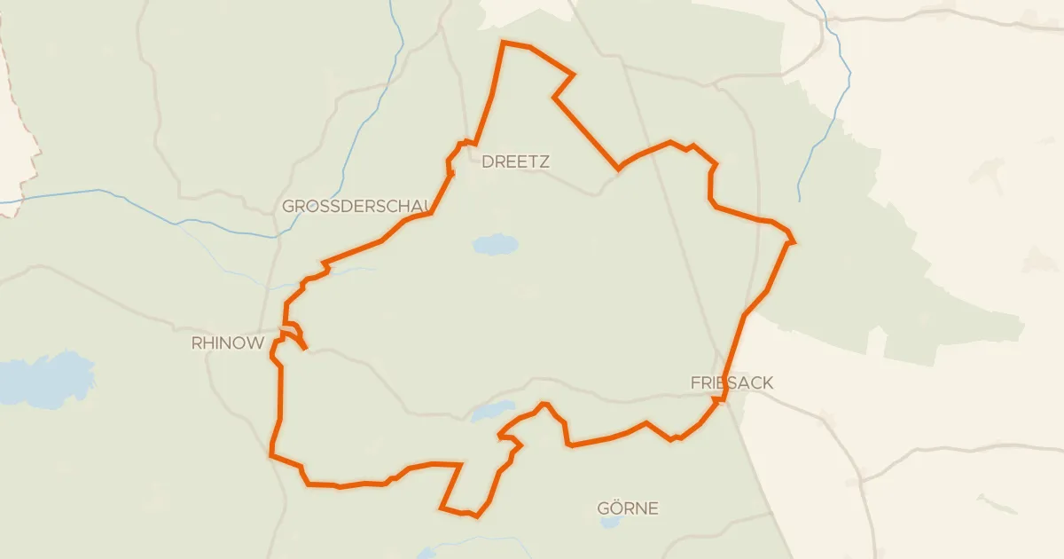
Rondje Westhavelland en Rhinkanal
65 km↑ 250 m18 km away
Road bike101% paved
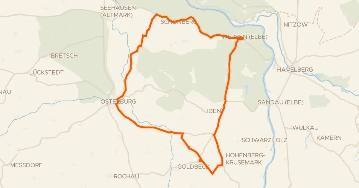
Rondje Altmärkische Wische en Biese
63 km↑ 98 m24 km away
Gravel51% paved
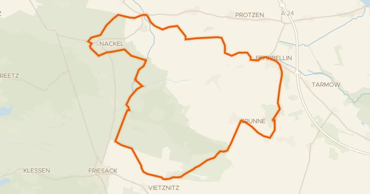
Rondje Westhavelland en Temnitz
57 km↑ 92 m30 km away
Gravel45% paved
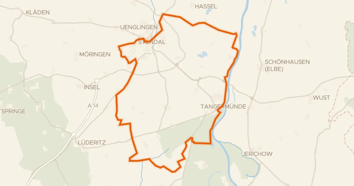
Rondje Burg Tangermünde en Elbe
64 km↑ 216 m31 km away
Gravel59% paved
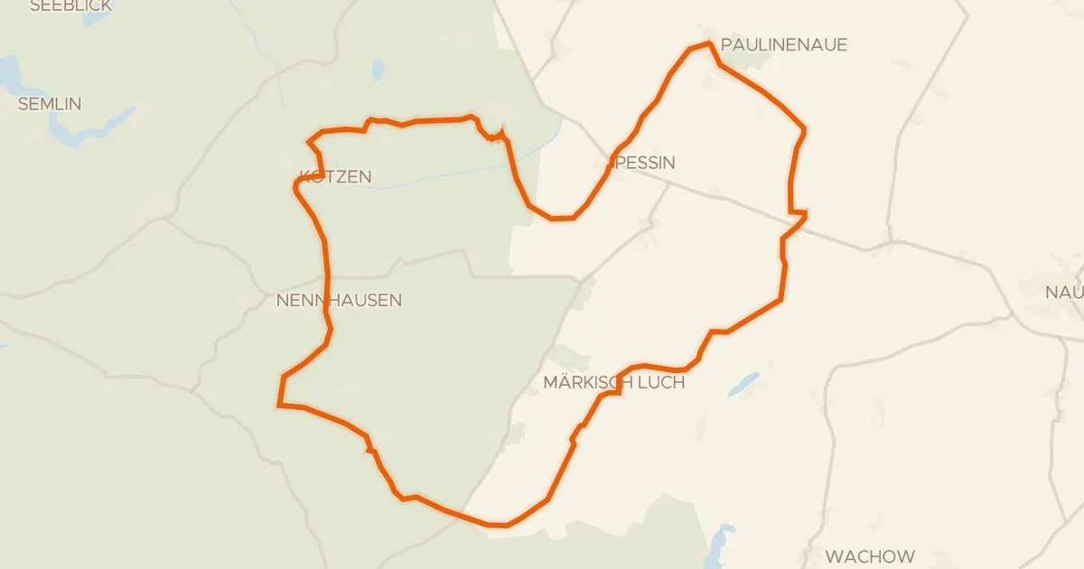
Rondje Schloss Ribbeck en Havelländisches Luch
63 km↑ 166 m32 km away