Back to the librarykm 0–3km 10–14km 18–23km 36–37km 40–41km 53–55km 55–56km 58–59km 61–62km 65–74
Road bikeMade by RouteCasterRound trip
Rondje Vestea en Fino
Distance
74 km
Ascent
1,696 m
Highest point
696 m
100% paved
Start from your location
Ride there from home: we find the shortest way to the loop and start the loop from there.
The ride
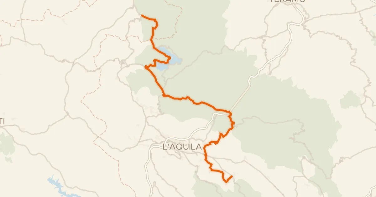
From Vestea the road heads out to the Tavo river, then on to the Fino river before looping back to the start. It's 74.0 km with 1696 m of climbing, and the whole route is paved. Two rivers, one loop, and a finish back in Vestea.
Climbs
Climb 1Cat. 4
2.2 km at 4.8% · max 10.9%
Climb 2Cat. 3
3.6 km at 7.7% · max 40.6%
Climb 3Cat. 3
4.8 km at 4.9% · max 17.1%
Climb 4Hill
0.9 km at 4.8% · max 7.9%
Climb 5Hill
0.8 km at 3.3% · max 5.5%
Climb 6Cat. 4
2 km at 4.6% · max 12.4%
Climb 7Hill
1 km at 7.5% · max 25.6%
Climb 8Hill
0.6 km at 4.9% · max 7.8%
Climb 9Cat. 4
1.2 km at 8.6% · max 13.4%
Climb 10Cat. 2
8.6 km at 4.8% · max 11.2%
Routes nearby

Gravel49% paved
Rondje Castello Gizzi en Pescara
70 km↑ 2,312 m9 km away

Gravel57% paved
Langs de Tavo en het Lago di Penne
60 km↑ 2,360 m12 km away

Road bike100% paved
Langs de Fino en het Fiume Vomano
78 km↑ 1,967 m18 km away

Road bike99% paved
Rondje Pescara en Alento
69 km↑ 1,368 m18 km away

Gravel15% paved
Rondje Castello di Bominaco en Aterno
69 km↑ 2,017 m27 km away
Road bike100% paved
ABT Tappa 17: Amatrice - San Demetrio ne'Vestini
103 km↑ 2,174 m38 km away
Valico delle Capannelle · Valico di San Franco