Back to the librarykm 13 · Sep 2026 · © hotteliene / Mapillary, CC BY-SA km 25 · Aug 2024 · © robffm / Mapillary, CC BY-SA km 52 · Dec 2019 · © nesshof / Mapillary, CC BY-SA km 90 · Nov 2024 · © hiwi234 / Mapillary, CC BY-SA km 28–29
Road bikeRouteCasterRound trip
Rondje Tister Bauernmoor en Kauers Wittmoor
Distance
92 km
Ascent
228 m
Highest point
74 m
100% paved
Start from your location
Ride there from home: we find the shortest way to the loop and start the loop from there.
The ride
Roll out of Rüspel and the Tister Bauernmoor nature reserve opens the ride, soon followed by the Kauers Wittmoor. The route then crosses the Wümmeniederung mit Rodau, Wiedau und Trochelbach before a final stretch through the Glindbusch. All 91.7 km are paved, with 228 m of climbing, and the loop brings you back to Rüspel.
Along the way
Climbs
Climb 1Hill
1 km at 3.2% · max 5.1%
Routes nearby
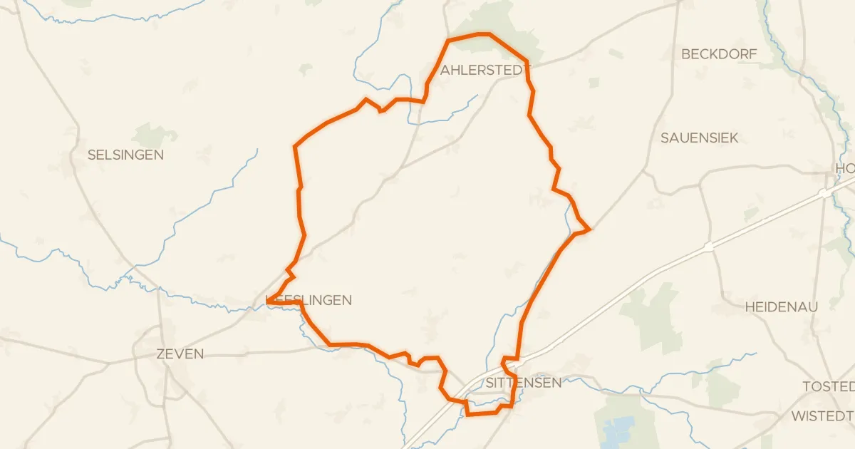
Gravel50% paved
Rondje Braken und Harselah en Kahles und Wildes Moor
60 km↑ 158 m9 km away
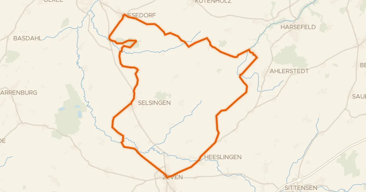
Road bike95% paved
Rondje Beverner Wald en Oste
72 km↑ 218 m13 km away
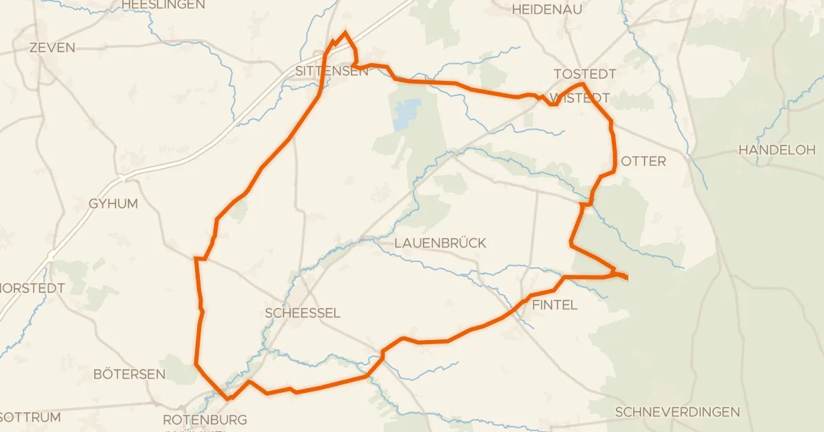
Road bike100% paved
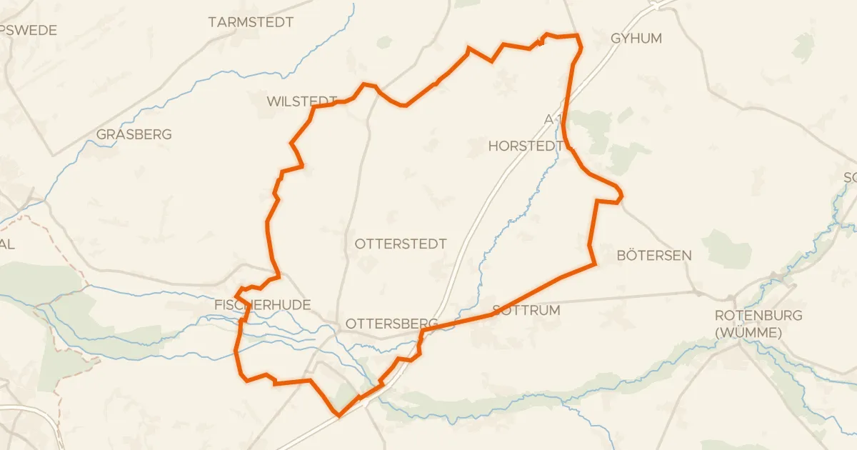
Rondje Otterkreisel en Tister Bauernmoor
81 km↑ 157 m14 km away
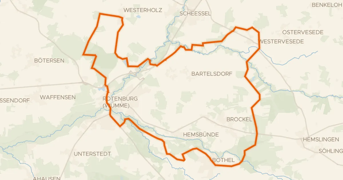
Gravel47% paved
Rondje Mühlenbachsee en Hemslinger Moor
55 km↑ 120 m18 km away
Gravel40% paved
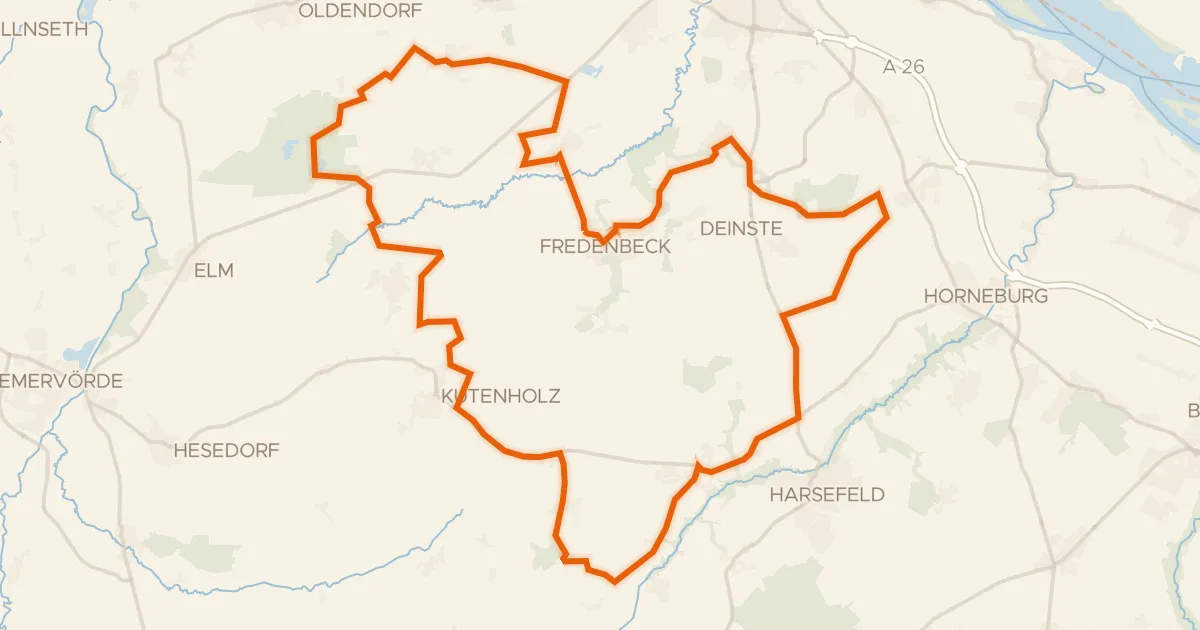
Rondje Glindbusch en Fischerhuder Wümmeniederung
64 km↑ 168 m19 km away
Gravel53% paved
Rondje Feerner Moor en Steinbeck
79 km↑ 183 m26 km away