Back to the librarykm 15 · May 2026 · © danko / Mapillary, CC BY-SA km 28 · Apr 2026 · © danko / Mapillary, CC BY-SA km 51 · Apr 2019 · © tobiaso / Mapillary, CC BY-SA km 64 · Oct 2020 · © hotteliene / Mapillary, CC BY-SA
Road bikeRouteCasterRound trip
Rondje Stepenitz en Löcknitz
Distance
78 km
Ascent
184 m
Highest point
65 m
98% paved
Start from your location
Ride there from home: we find the shortest way to the loop and start the loop from there.
The ride
Roll out of Berge and let the ride unfold: 78.4 km with just 184 m of climbing, so the legs stay fresh. Most of it is paved, with a sliver of unpaved to keep things honest. You pass the Stepenitz river, then the Löcknitz river, before the road turns you back toward Berge. Simple, flowing, and home again.
Along the way
Routes nearby
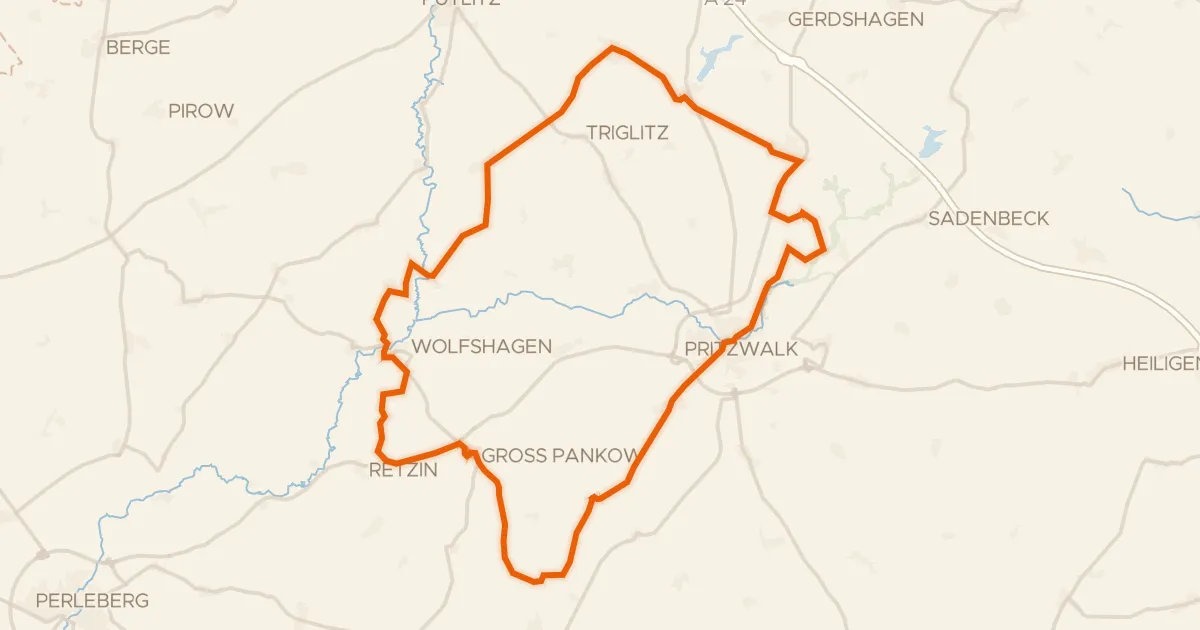
Gravel42% paved
Rondje Gutshaus Schloss Wolfshagen en Stepenitz
59 km↑ 252 m18 km away
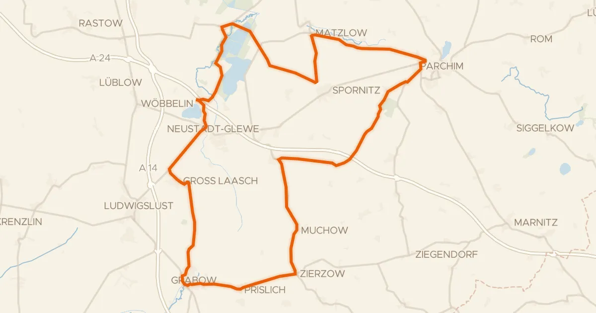
Road bike99% paved
Rondje Sonnenberg en Fischteiche in der Lewitz
83 km↑ 214 m19 km away
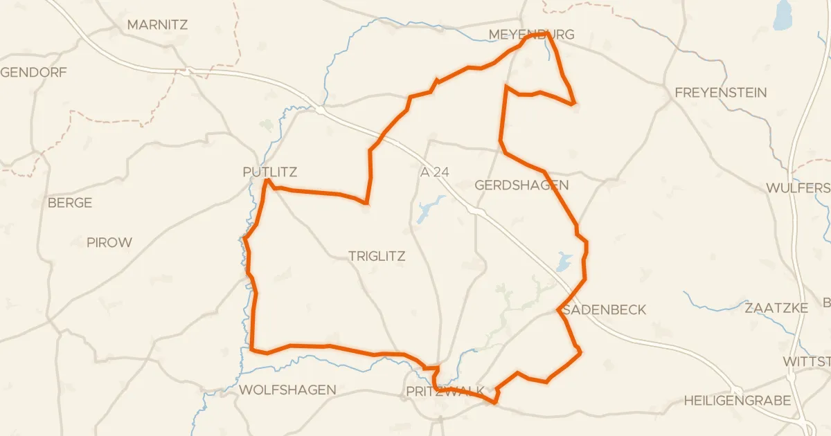
Road bike100% paved
Rondje Stepenitz en Dömnitz
75 km↑ 210 m19 km away
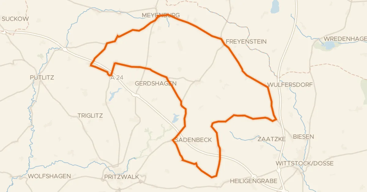
Road bike101% paved
Rondje Schloß Meyenburg en Burg Freyenstein
71 km↑ 220 m28 km away
Gravel23% paved
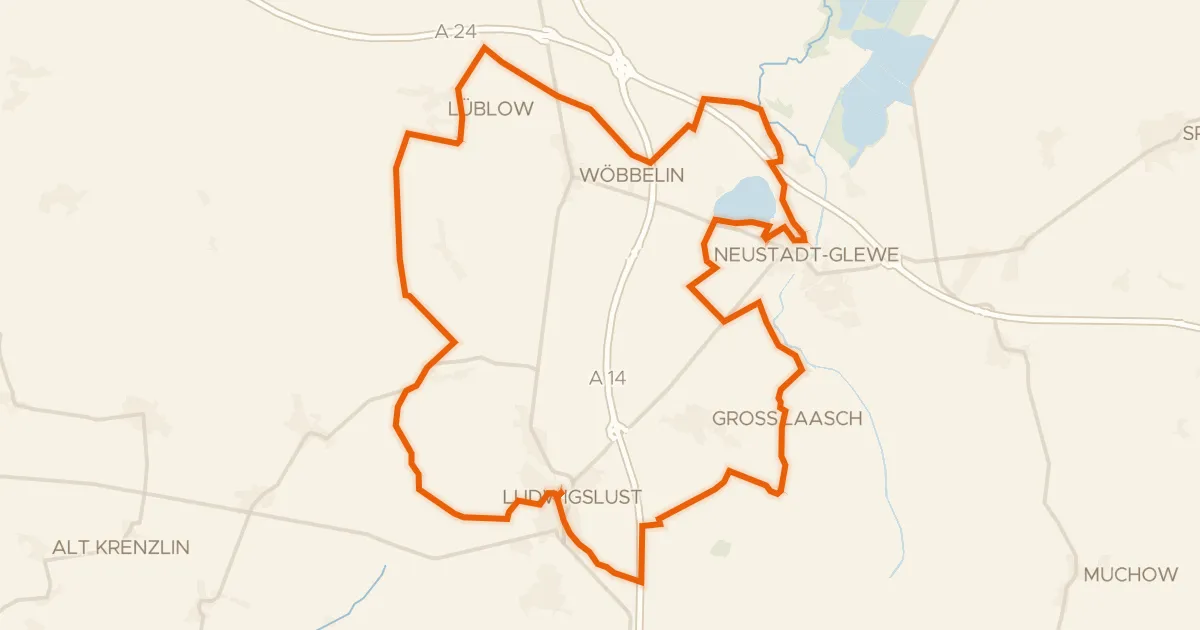
Rondje Töpferberg en Neustädter See
58 km↑ 157 m28 km away
Road bike99% paved
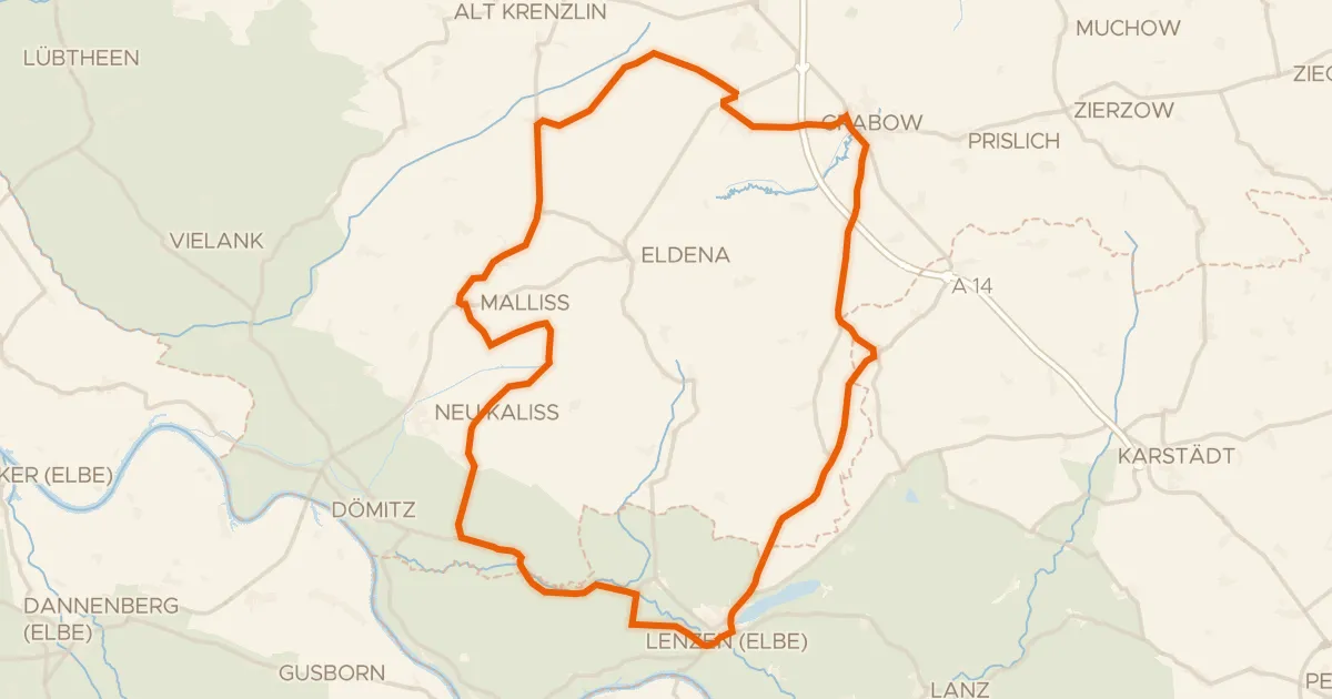
Rondje Burg Lenzen en Rudower See
81 km↑ 215 m29 km away