Back to the librarykm 1–2km 2–7km 40–61km 66–69km 73–78
Road bikeMade by RouteCasterRound trip
Rondje Serra della Guardia en Crati
Distance
78 km
Ascent
2,116 m
Highest point
1,622 m
100% paved
Start from your location
Ride there from home: we find the shortest way to the loop and start the loop from there.
The ride
This ride starts at the parking area by the Riserva Naturale Tasso in Camigliatello Silano, a nature reserve, and rolls out for 78.1 km. Along the way you pass the Crati river and the Serra della Guardia nature reserve before heading back to where you began. The route is fully paved, with 2116 m of climbing to keep the legs honest. It's a loop that begins and ends at the same trailhead, so the day closes where it opened.
Climbs
Climb 1Hill
1.4 km at 5% · max 16.2%
Valico di Monte ScuroCat. 3
4.3 km at 6.1% · max 23.7%
Climb 3HC
20.4 km at 6% · max 32.5%
Climb 4Cat. 4
2.7 km at 3.2% · max 9.6%
Climb 5Cat. 4
4.7 km at 3.3% · max 12.7%
Routes nearby
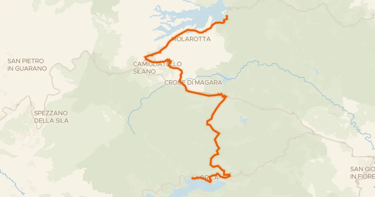
Touring87% paved
Ciclovia dei Parchi della Calabria - Tappa 5
37 km↑ 651 m7 km away
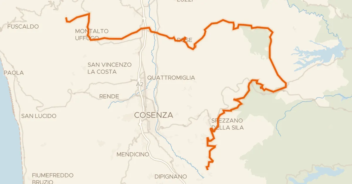
Road bike100% paved
ABT Tappa 31: San Benedetto Ullano - Aprigliano
98 km↑ 2,834 m12 km away
Valico di Monte Scuro

Gravel53% paved
Rondje Lago Arvo en Fiume Savuto
45 km↑ 1,517 m16 km away
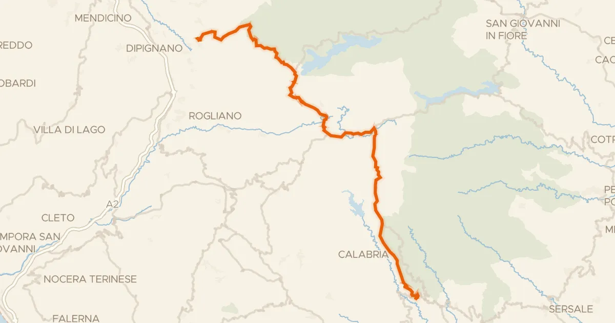
Road bike100% paved
ABT Tappa 32: Aprigliano - Taverna
59 km↑ 1,570 m22 km away

Road bike100% paved
Rondje Crati en Lago Tarsia
82 km↑ 1,334 m28 km away

Gravel29% paved
Rondje Castello di Paola
51 km↑ 2,062 m29 km away