Back to the librarykm 0–17km 23–29km 31–32km 32–33km 39–39km 45–45
GravelMade by RouteCasterRound trip
Rondje Castello di Paola
Distance
51 km
Ascent
2,062 m
Highest point
1,197 m
29% paved
Start from your location
Ride there from home: we find the shortest way to the loop and start the loop from there.
The ride
Roll out of San Lucido and let the climbing begin: this 51.5 km loop piles up 2062 m of elevation gain. Most of it runs unpaved, so expect plenty of gravel under your wheels. On the way you pass Castello di Paola, a castle that breaks up the climbing nicely. Then it's back to San Lucido to close the loop.
Climbs
Climb 1HC
17.2 km at 6.1% · max 30.8%
Climb 2Cat. 1
5.6 km at 11.5% · max 33.6%
Climb 3Hill
1.1 km at 5.9% · max 17.3%
Climb 4Hill
0.7 km at 3.9% · max 7.4%
Climb 5Hill
0.2 km at 12.8% · max 21.5%
Climb 6Hill
0.2 km at 12.5% · max 14.9%
Routes nearby

Road bike100% paved
Rondje Castello della Valle en Castello di Amantea
67 km↑ 2,014 m17 km away
Road bike100% paved
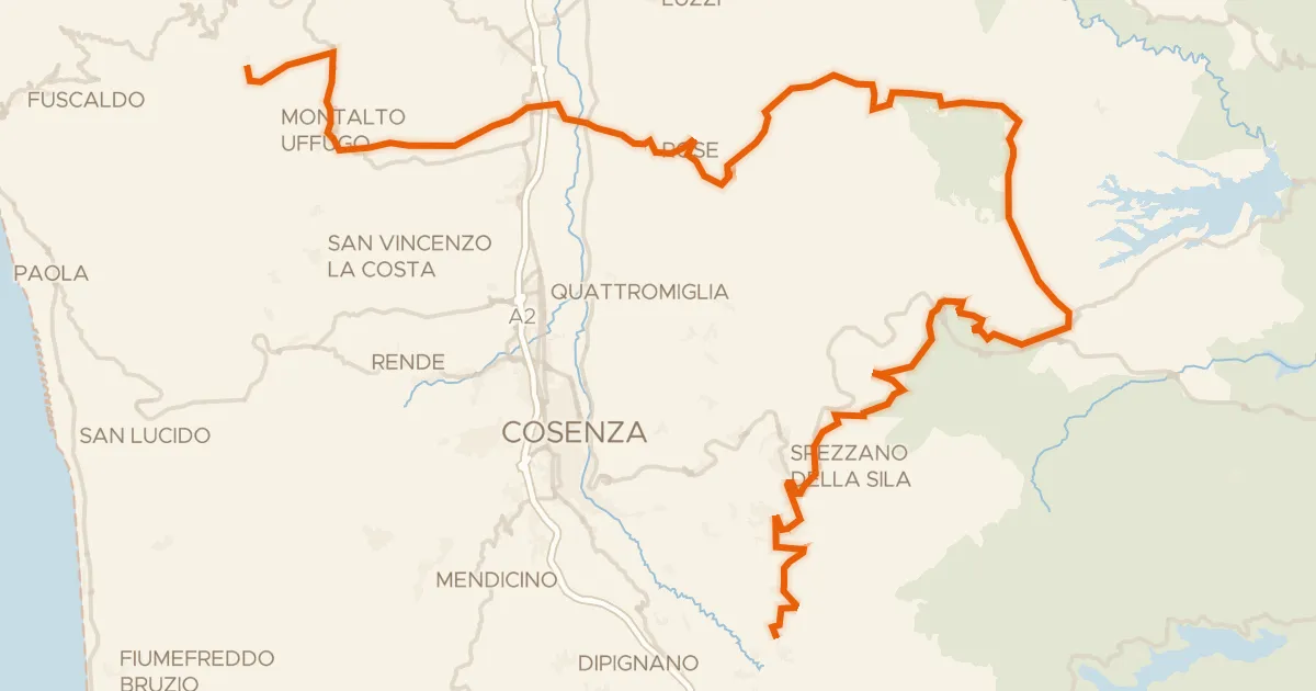
ABT Tappa 31: San Benedetto Ullano - Aprigliano
98 km↑ 2,834 m21 km away
Valico di Monte Scuro
Road bike100% paved
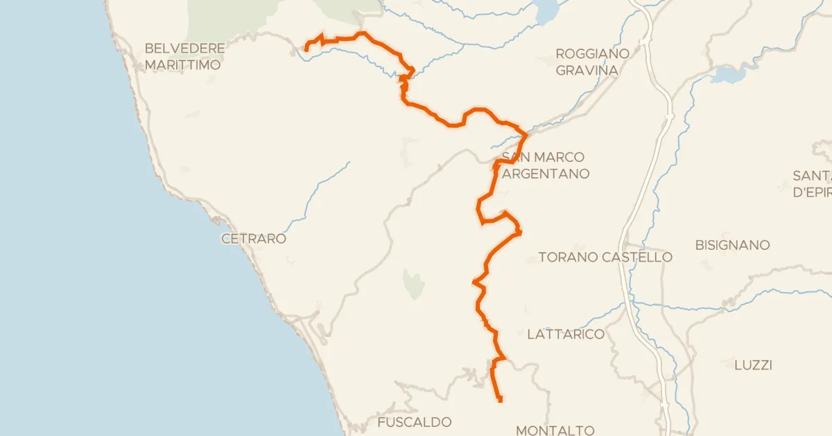
ABT Tappa 30: Sant’Agata di Esaro - San Benedetto Ullano
58 km↑ 1,688 m24 km away

Road bike100% paved
Rondje Serra della Guardia en Crati
78 km↑ 2,116 m26 km away

Gravel53% paved
Rondje Torre Normanna en Fiume Esaro
62 km↑ 1,923 m29 km away

Gravel53% paved
Rondje Lago Arvo en Fiume Savuto
45 km↑ 1,517 m35 km away