Back to the librarykm 5–6km 9–9km 12–12km 12–13km 17–18km 19–19km 20–21km 21–22km 25–25km 26–30km 33–33km 36–37km 51–53km 53–54km 55–58
GravelMade by RouteCasterRound trip
Rondje Serio en Riso
Distance
60 km
Ascent
1,946 m
Highest point
1,017 m
47% paved
Start from your location
Ride there from home: we find the shortest way to the loop and start the loop from there.
The ride
From Clusone you roll out toward the Serio river, then climb through a route that mixes 47% paved with 53% unpaved and packs in 1946 m of elevation gain. The Riso river comes next on the way round, and the ride finishes back in Clusone.
Climbs
Climb 1Hill
0.8 km at 5.2% · max 18.5%
Climb 2Hill
0.8 km at 6.7% · max 17.2%
Climb 3Hill
0.2 km at 12.9% · max 18.2%
Climb 4Hill
0.8 km at 3.5% · max 7%
Climb 5Cat. 3
1.2 km at 13.5% · max 26.7%
Climb 6Hill
0.2 km at 33.2% · max 36.8%
Climb 7Cat. 4
1.4 km at 7.1% · max 16%
Climb 8Hill
0.6 km at 7.3% · max 12.5%
Climb 9Hill
0.7 km at 4% · max 13.1%
Climb 10Cat. 2
4.6 km at 11.8% · max 51.8%
Climb 11Hill
0.3 km at 8.5% · max 11.3%
Climb 12Cat. 4
1.8 km at 7.2% · max 19.8%
Climb 13Hill
1.3 km at 4.6% · max 19%
Climb 14Hill
1 km at 4.5% · max 11.9%
Climb 15Cat. 4
2.8 km at 5% · max 26.1%
Routes nearby
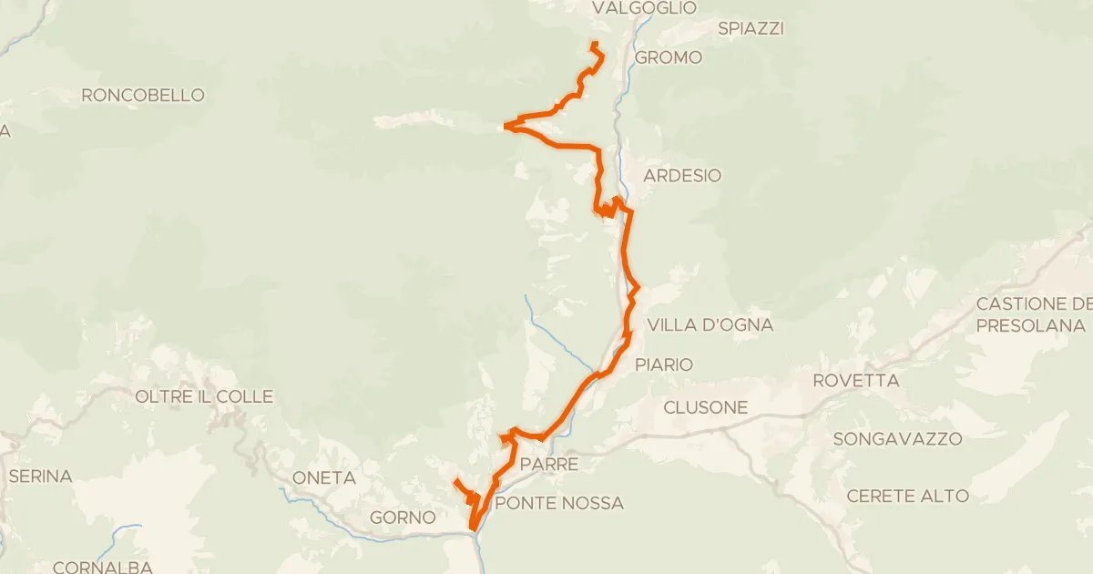
Touring74% paved
Alta Via delle Grazie - Tappa 3
27 km↑ 1,089 m5 km away
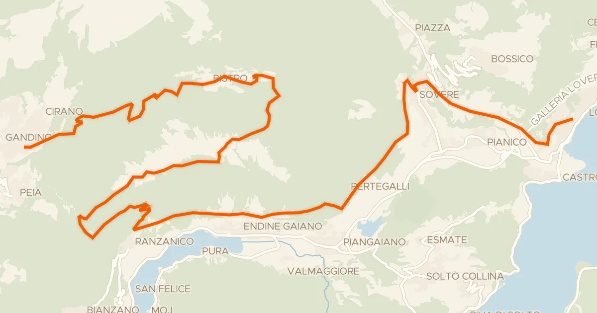
Gravel69% paved
Alta Via delle Grazie - Tappa 7
37 km↑ 1,733 m9 km away
Forcella di Ranzanico

Road bike100% paved
Rondje Castello Giovannelli en Lago di Endine
77 km↑ 1,602 m18 km away
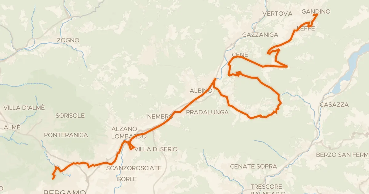
Touring80% paved
Alta Via delle Grazie - Tappa 8
52 km↑ 1,115 m19 km away
Colle Gallo

Gravel52% paved
Rondje Parco delle Orobie Bergamasche en Brembo di Mezzoldo
57 km↑ 3,183 m21 km away

Road bike99% paved
Rondje Castello della Marigolda en Castello di Clanezzo
76 km↑ 1,323 m24 km away