Back to the librarykm 2–3km 4–20km 67–68km 68–69km 70–71
Road bikeMade by RouteCasterRound trip
Rondje Castello della Marigolda en Castello di Clanezzo
Distance
76 km
Ascent
1,323 m
Highest point
1,060 m
99% paved
Start from your location
Ride there from home: we find the shortest way to the loop and start the loop from there.
The ride
From Zogno you roll out past the Serina river and on to the Serio, then climb toward two castles in a row: Castello della Marigolda and Castello di Clanezzo. After the Torrente Giongo and Torrente Brembilla, the road turns for home. Along the way you take in 1323 m of climbing across 76.3 km, with 99% paved and 2% unpaved surface. Back to where you started.
Climbs
Climb 1Hill
1.9 km at 4.2% · max 23.6%
Passo di GandaCat. 1
15.7 km at 4.4% · max 39.3%
Climb 3Hill
0.8 km at 3.6% · max 10.1%
Climb 4Hill
1 km at 3.5% · max 14.7%
Climb 5Hill
1 km at 5.1% · max 23.4%
Routes nearby
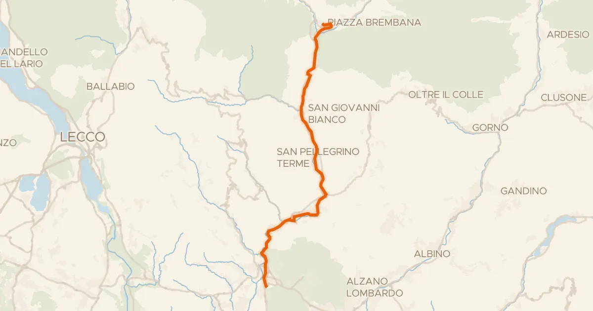
Road bike99% paved
Ciclovia Valle Brembana
33 km↑ 433 m5 km away
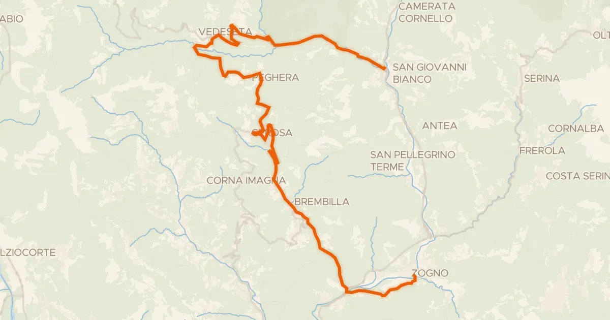
Road bike100% paved
Ciclo Percorso Val Taleggio
40 km↑ 1,269 m7 km away
Forcella di Bura

Gravel42% paved
Rondje Castello di Clanezzo en Parco Adda Nord
64 km↑ 2,454 m10 km away
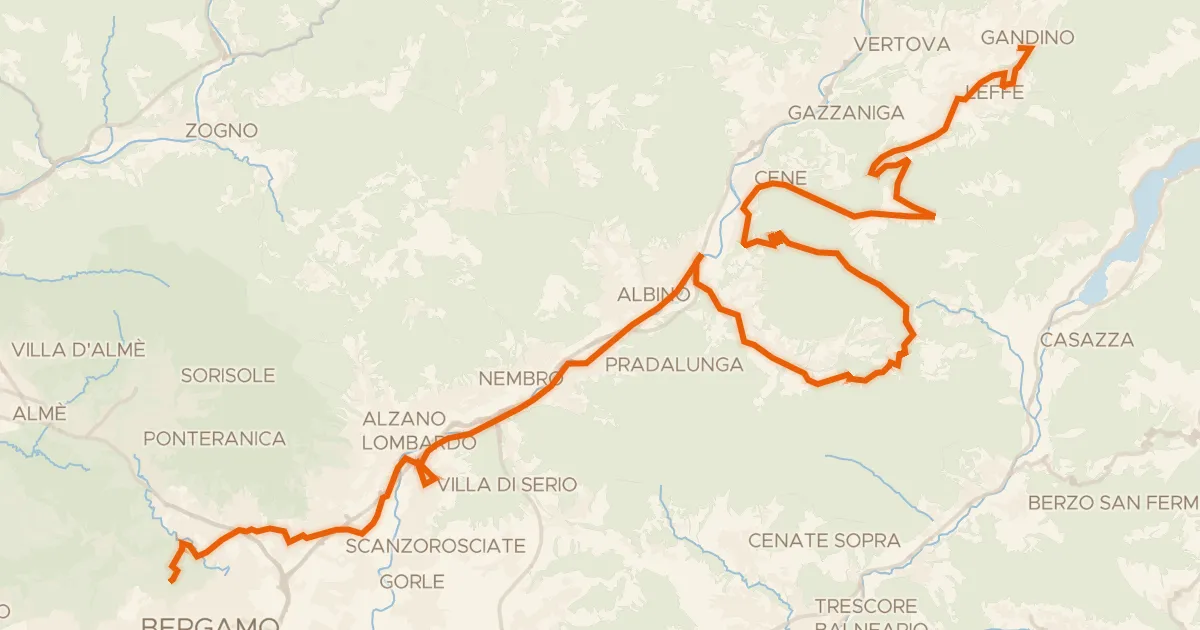
Touring80% paved
Alta Via delle Grazie - Tappa 8
52 km↑ 1,115 m10 km away
Colle Gallo

Road bike100% paved
Rondje Castello Giovannelli en Lago di Endine
77 km↑ 1,602 m17 km away

Gravel47% paved
Rondje Serio en Riso
60 km↑ 1,946 m21 km away