Back to the librarykm 1–4km 5–9km 12–12km 15–17km 17–18km 19–21km 23–25km 25–26km 26–27km 27–28km 28–30km 32–36km 37–39km 39–43km 49–50
GravelMade by RouteCasterRound trip
Rondje Schwarza en Sierning
Distance
57 km
Ascent
2,202 m
Highest point
1,272 m
13% paved
Start from your location
Ride there from home: we find the shortest way to the loop and start the loop from there.
The ride
This ride sets off from Gloggnitz and takes you past the Sierning river before following the Schwarza river on the way back. Of the 57.5 km, most runs unpaved, and the route climbs a total of 2202 m. You start and finish in the same village, so the loop closes where it began.
Climbs
Climb 1Cat. 3
2.8 km at 8.5% · max 23.4%
Climb 2Cat. 3
4.2 km at 6.8% · max 17.5%
Climb 3Hill
0.5 km at 8.3% · max 12.9%
Climb 4Hill
1.9 km at 4% · max 15.2%
Climb 5Cat. 4
0.7 km at 15.4% · max 24%
Climb 6Cat. 3
2 km at 9.3% · max 31.7%
Climb 7Cat. 4
1.3 km at 7.2% · max 10.4%
Climb 8Hill
0.9 km at 6.7% · max 29.3%
Climb 9Hill
1.1 km at 5.1% · max 13.1%
Climb 10Hill
0.5 km at 5.1% · max 11.1%
Climb 11Hill
1.3 km at 5.3% · max 22.2%
Climb 12Cat. 3
3.8 km at 7.4% · max 24.4%
Climb 13Cat. 3
1.9 km at 13.7% · max 29.4%
AlpleckCat. 3
4 km at 6.8% · max 32%
Climb 15Hill
0.8 km at 4.8% · max 8.4%
Routes nearby
Road bike99% paved
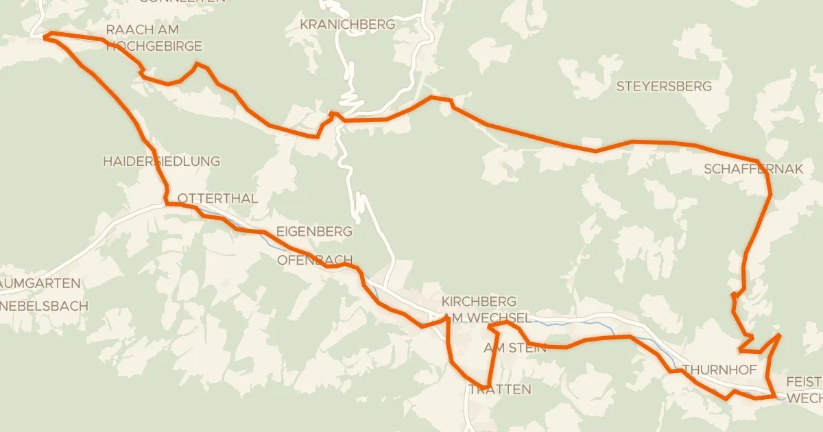
Feistritztal-Route (e-Bike)
32 km↑ 717 m7 km away
Ramssattel

Road bike100% paved
Rondje langs de Pitten en de Schwarza
90 km↑ 1,724 m12 km away
Road bike99% paved
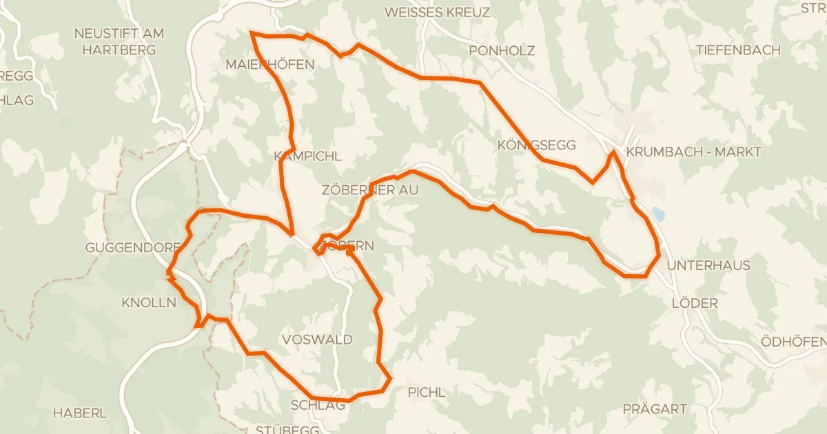
Grenzlandroute (e-Bike)
29 km↑ 664 m24 km away
Touring90% paved
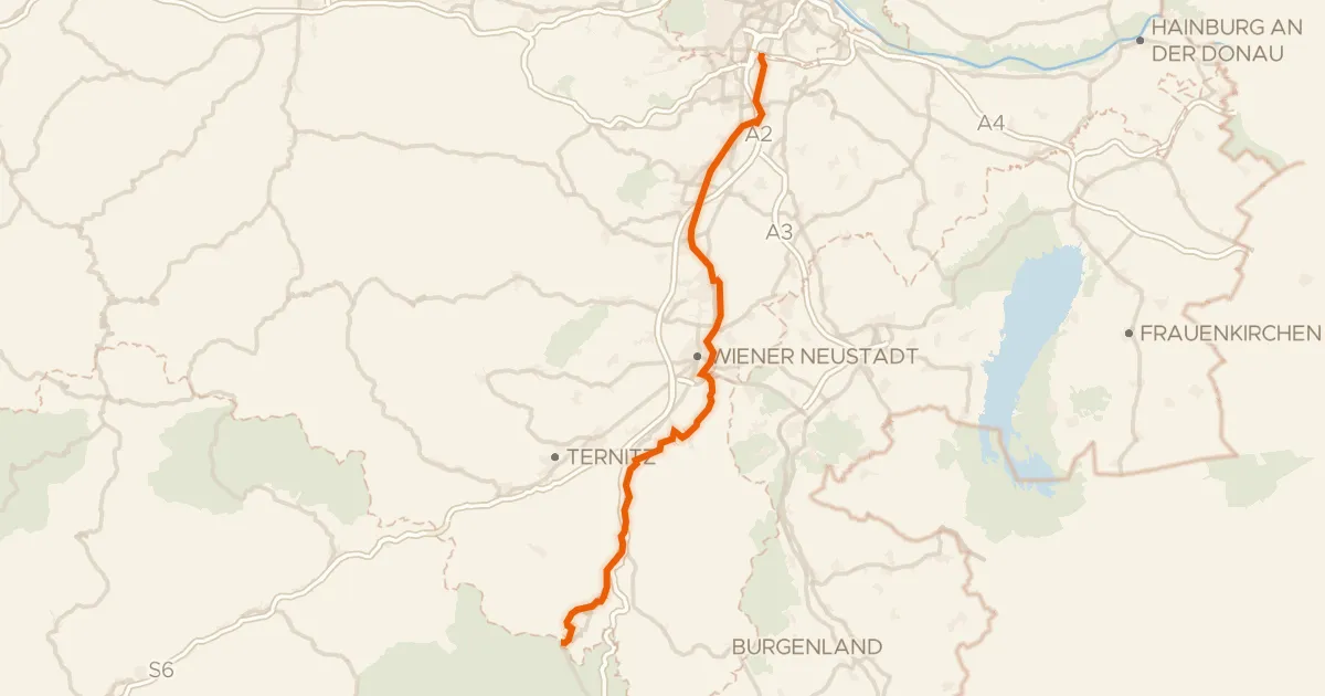
Thermenradweg
100 km↑ 342 m25 km away
Road bike100% paved
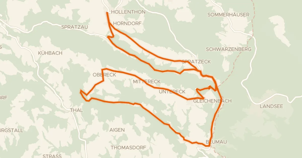
Wetterroute (e-Bike)
27 km↑ 549 m28 km away

Road bike97% paved
Rondje Burgruine Kirchschlag
73 km↑ 1,688 m29 km away