Back to the librarykm 0–3km 3–4km 5–6km 8–9km 10–11km 13–14km 66–66km 72–79km 85–90
Road bikeMade by RouteCasterRound trip
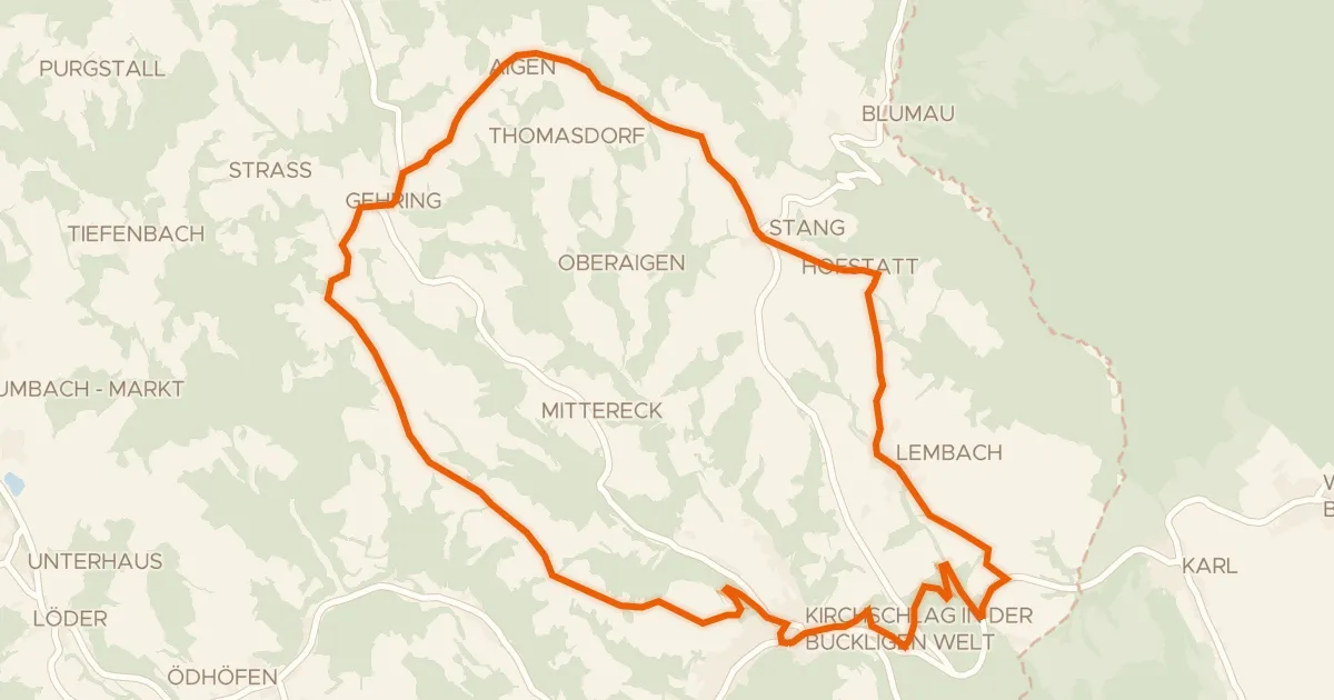
Rondje langs de Pitten en de Schwarza
Distance
90 km
Ascent
1,724 m
Highest point
933 m
100% paved
Start from your location
Ride there from home: we find the shortest way to the loop and start the loop from there.
The ride
From Hochegg, this 90.0 km loop rolls out past the Schwarza river and along the Werkskanal canal before meeting the Kehrbach and Pitten rivers. Castles stack up along the way: Schloss Pitten, Schloss Schleinz and Schloss Weisspriach, then the Ruine Thernberg. The route is fully paved, with 1724 m of climbing, and it brings you back to Hochegg.
Climbs
Climb 1Cat. 4
2.7 km at 4.2% · max 16.6%
Climb 2Hill
0.5 km at 5.4% · max 8.9%
Climb 3Hill
1.5 km at 3.9% · max 16.1%
Climb 4Hill
1.2 km at 4.4% · max 11%
Climb 5Hill
1 km at 4% · max 9.9%
Climb 6Hill
1.3 km at 4.9% · max 14%
Climb 7Hill
0.9 km at 3.2% · max 7.4%
Climb 8Cat. 2
6.7 km at 6.7% · max 20.9%
Climb 9Cat. 2
4.9 km at 7.2% · max 36.4%
Routes nearby
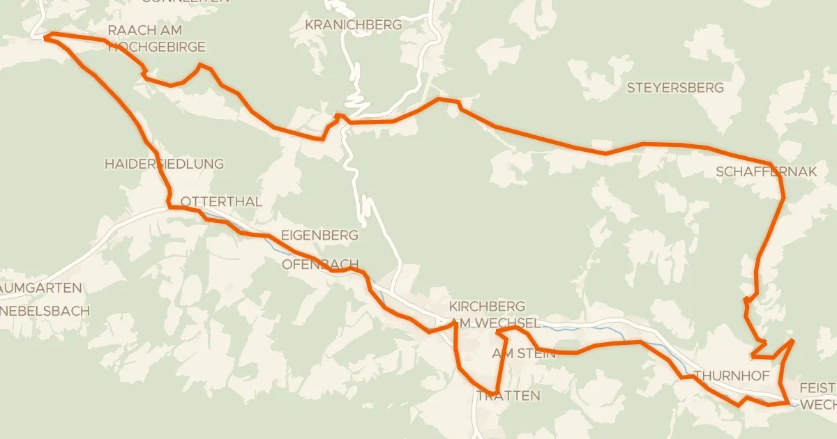
Road bike99% paved
Feistritztal-Route (e-Bike)
32 km↑ 717 m8 km away
Ramssattel
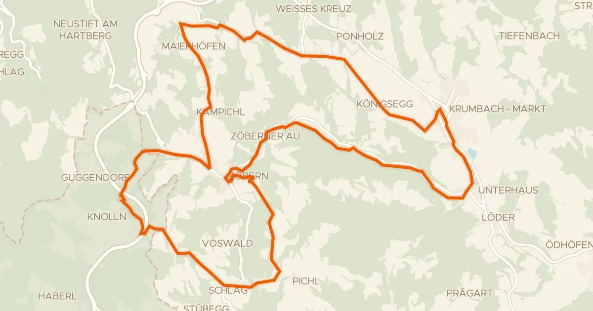
Road bike99% paved
Grenzlandroute (e-Bike)
29 km↑ 664 m12 km away
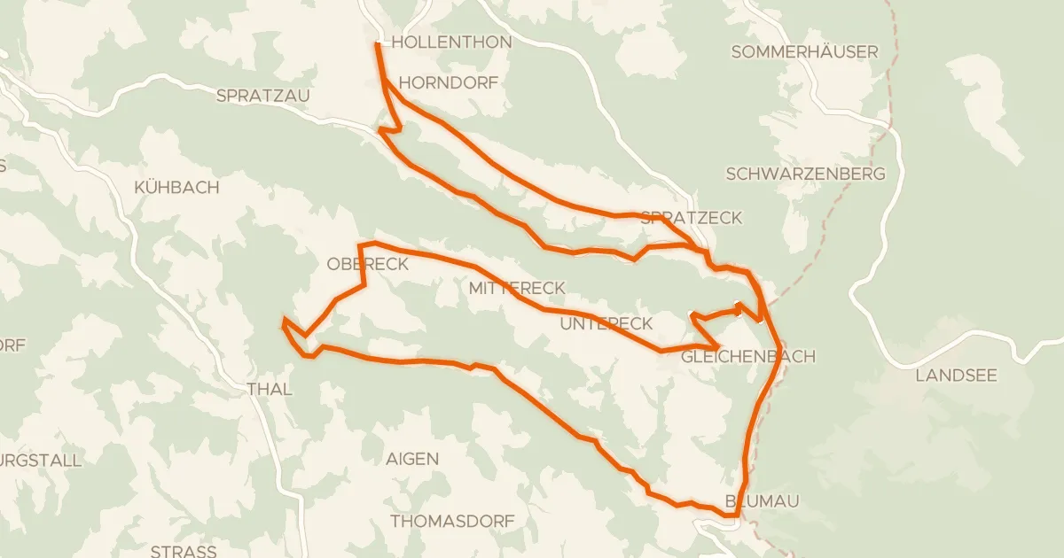
Road bike100% paved
Wetterroute (e-Bike)
27 km↑ 549 m15 km away
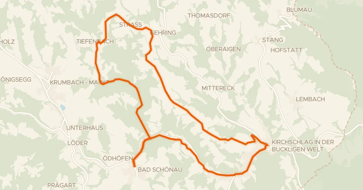
Road bike100% paved
Panoramaroute (e-Bike)
24 km↑ 407 m16 km away

Road bike97% paved
Rondje Burgruine Kirchschlag
73 km↑ 1,688 m17 km away
Touring90% paved
Rosengartenroute - E-Bike
22 km↑ 453 m17 km away