Back to the librarykm 6–8km 9–11km 24–35km 37–37km 39–43km 45–48km 54–55km 56–57km 58–59
GravelMade by RouteCasterRound trip
Rondje Schloss Treffen en Ossiacher See
Distance
59 km
Ascent
2,435 m
Highest point
1,628 m
23% paved
Start from your location
Ride there from home: we find the shortest way to the loop and start the loop from there.
The ride
This ride starts and finishes in Seespitz and covers 59.1 km, with most of it unpaved. You roll out past the Seebach river and along Ossiacher See, then follow the Tiebel and Tiebelbach rivers before climbing to Schloss Treffen castle. The 2435 m of elevation gain keeps the legs working all day.
Climbs
Climb 1Cat. 3
2 km at 11.6% · max 56.9%
Climb 2Cat. 3
2.1 km at 10.6% · max 38.2%
Climb 3HC
10.3 km at 8.7% · max 46.9%
Climb 4Hill
0.5 km at 12.8% · max 20.9%
Climb 5Cat. 2
3.9 km at 8.5% · max 21.1%
Climb 6Cat. 3
3.5 km at 6.8% · max 27.8%
Climb 7Hill
1 km at 6% · max 11.7%
Climb 8Hill
1.1 km at 5.4% · max 23.6%
Climb 9Hill
0.8 km at 4.1% · max 13.3%
Routes nearby
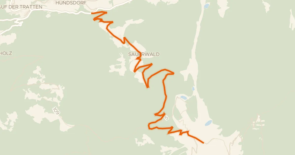
Road bike100% paved
Gerlitzen Gipfelstraße
11 km↑ 1,022 m6 km away
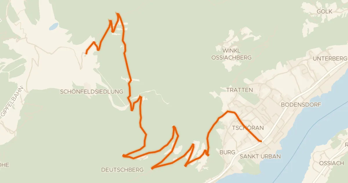
Road bike100% paved
Gerlitzen Alpenstraße
13 km↑ 1,253 m6 km away

Road bike99% paved
Rondje langs de Gail en de Gailitz
73 km↑ 1,032 m18 km away

Road bike98% paved
Rondje langs de Drau en Glanfurt
78 km↑ 985 m23 km away

Road bike100% paved
Rondje Burgruine Liebenfels en Kraiger See
85 km↑ 1,214 m29 km away
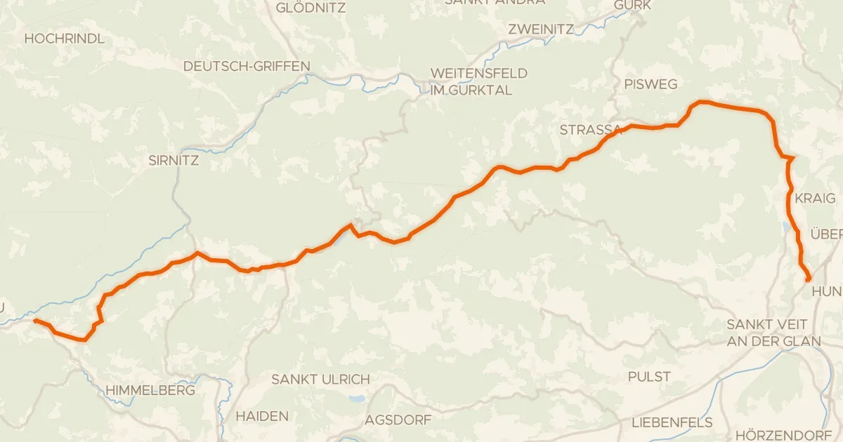
Touring79% paved
Wimitzerweg
41 km↑ 943 m29 km away