Back to the librarykm 0–4km 11–13km 47–48km 56–57km 69–72
Road bikeMade by RouteCasterRound trip
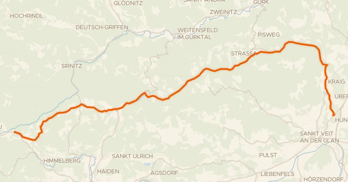
Rondje Burgruine Liebenfels en Kraiger See
Distance
85 km
Ascent
1,214 m
Highest point
823 m
100% paved
Start from your location
Ride there from home: we find the shortest way to the loop and start the loop from there.
The ride
Roll out of Liebenfels and the climbing begins, with 1214 m of elevation gain spread across the day. Pass the castle ruin of Liebenfels, then skirt Kraiger See before riding by Schloss Stadlhof. Follow the Glan river, cross the Kreuzbergl nature reserve, and continue past the Tiebelbach toward Schloss Lang and Schloss Bach. Every metre is paved, and the loop brings you back to Liebenfels.
Climbs
Climb 1Cat. 2
4.2 km at 8% · max 16.8%
Climb 2Cat. 4
1.8 km at 6.2% · max 13.1%
Climb 3Hill
1 km at 4.5% · max 12.4%
Climb 4Hill
1 km at 4.4% · max 15.3%
Climb 5Cat. 3
2.7 km at 8.2% · max 45.3%
Routes nearby
Touring79% paved
Wimitzerweg
41 km↑ 943 m10 km away

Road bike100% paved
Rondje langs de Glan en de Gurk
84 km↑ 852 m12 km away

Road bike98% paved
Rondje langs de Drau en Glanfurt
78 km↑ 985 m17 km away

Road bike100% paved
Rondje langs de Gurk en de Metnitz
80 km↑ 1,561 m18 km away

Gravel18% paved
Rondje Schloss Pöckstein en Metnitz
60 km↑ 1,812 m19 km away

Gravel58% paved
Rondje langs de Drau en de Völkermarkter Stausee
62 km↑ 996 m25 km away