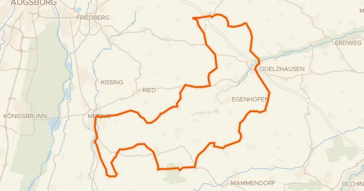
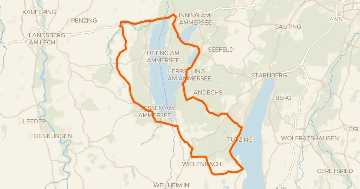
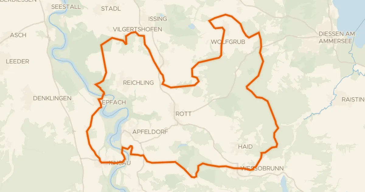
Roll out of Sankt Ottilien and the Ampermoos nature reserve opens the ride, before the Schluifelder Moos leads you on toward Schloss Seefeld. Later come the Herrschinger Moos, Schloss Mühlfeld and the Vogelfreistätte Ammersee-Südufer, with Schloss Pöring near the end. Of the 89.5 km, nearly all is paved, with a small unpaved share. A few hundred metres of climbing and you are back in Sankt Ottilien.
![Map of the cycling route [D9] Weser-Romantische Straße Teil 10](/thumbs/lib-1a95c2c7-adbb-48bb-b2d5-f7c47150f677.webp)