Back to the librarykm 38–40km 45–47
GravelRouteCasterRound trip
Rondje Rohrmoos en Lechtal-Süd
Distance
62 km
Ascent
611 m
Highest point
756 m
34% paved
Start from your location
Ride there from home: we find the shortest way to the loop and start the loop from there.
The ride
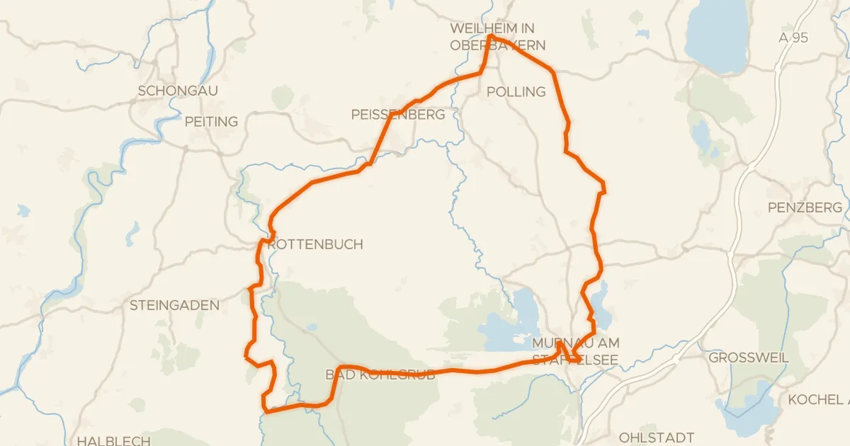
Roll out from Parkeerplaats Oberhauser Weiher and let the ride unfold through four nature reserves. You pedal from Rohrmoos into Schwaigwaldmoos, then on to the Steilhalden und Flussauen des Lechs zwischen Kinsau und Hohenfurch, before Lechtal-Süd turns you back toward the start. With 61.8 km and 611 m of climbing, it's a steady loop where the surface keeps switching under your wheels.
Climbs
Climb 1Cat. 4
2.2 km at 4.3% · max 18.8%
Climb 2Hill
1.3 km at 3.4% · max 12.1%
Routes nearby
Road bike96% paved
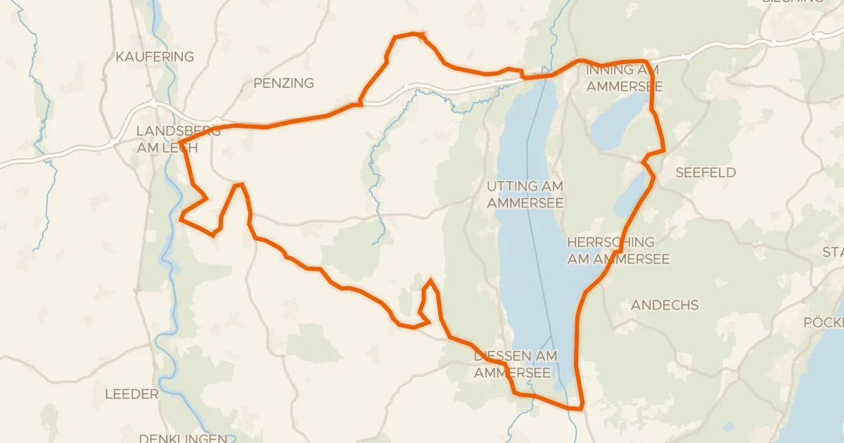
Rondje Schloss Mühlfeld en Vogelfreistätte Ammersee-Südufer
90 km↑ 690 m7 km away
Road bike99% paved
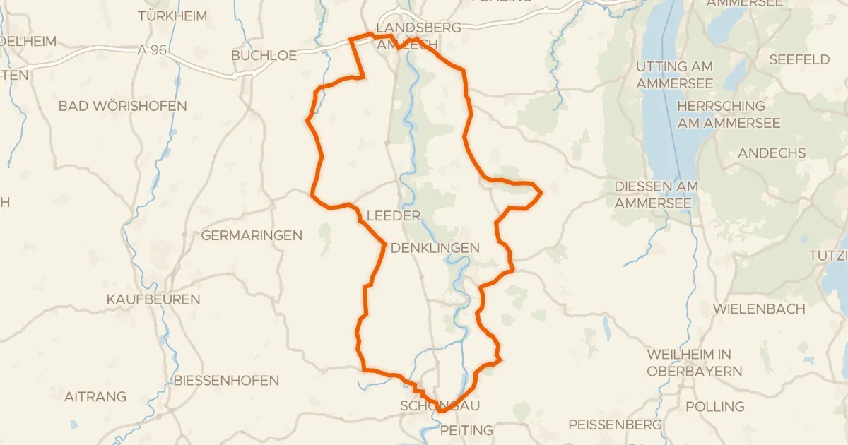
Rondje Schloss Waal en Lech
88 km↑ 748 m9 km away
Road bike98% paved
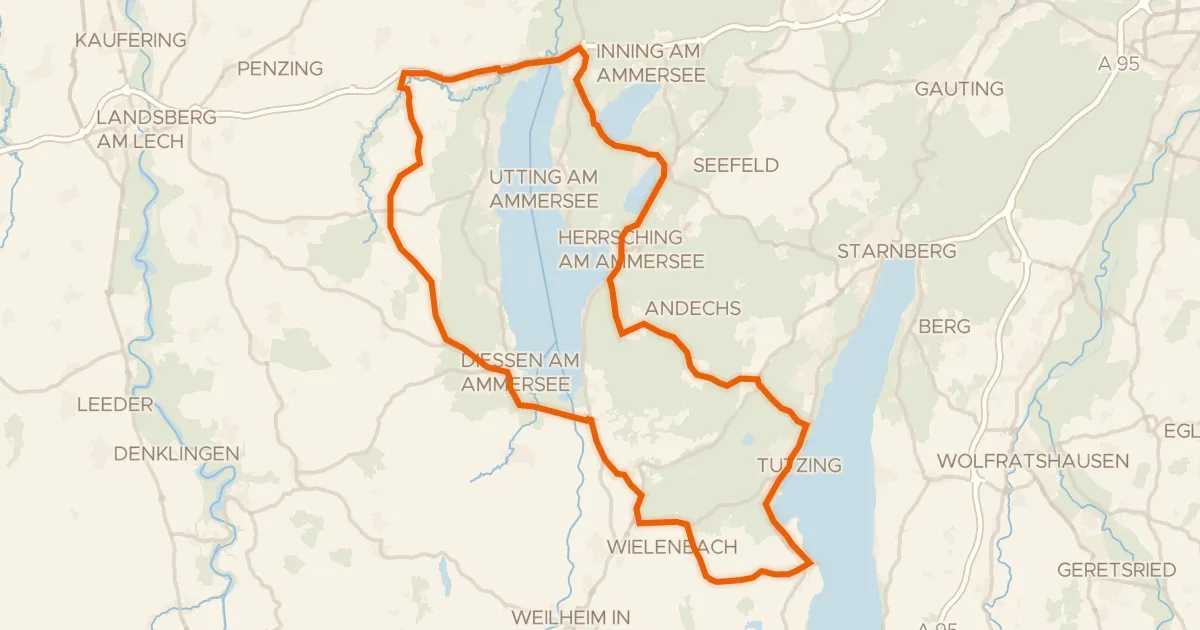
Rondje Schloss Windach en Ampermoos
88 km↑ 816 m12 km away
![Map of the cycling route [D9] Weser-Romantische Straße Teil 10](/thumbs/lib-1a95c2c7-adbb-48bb-b2d5-f7c47150f677.webp)
Touring83% paved
[D9] Weser-Romantische Straße Teil 10
147 km↑ 1,462 m12 km away
Gravel31% paved
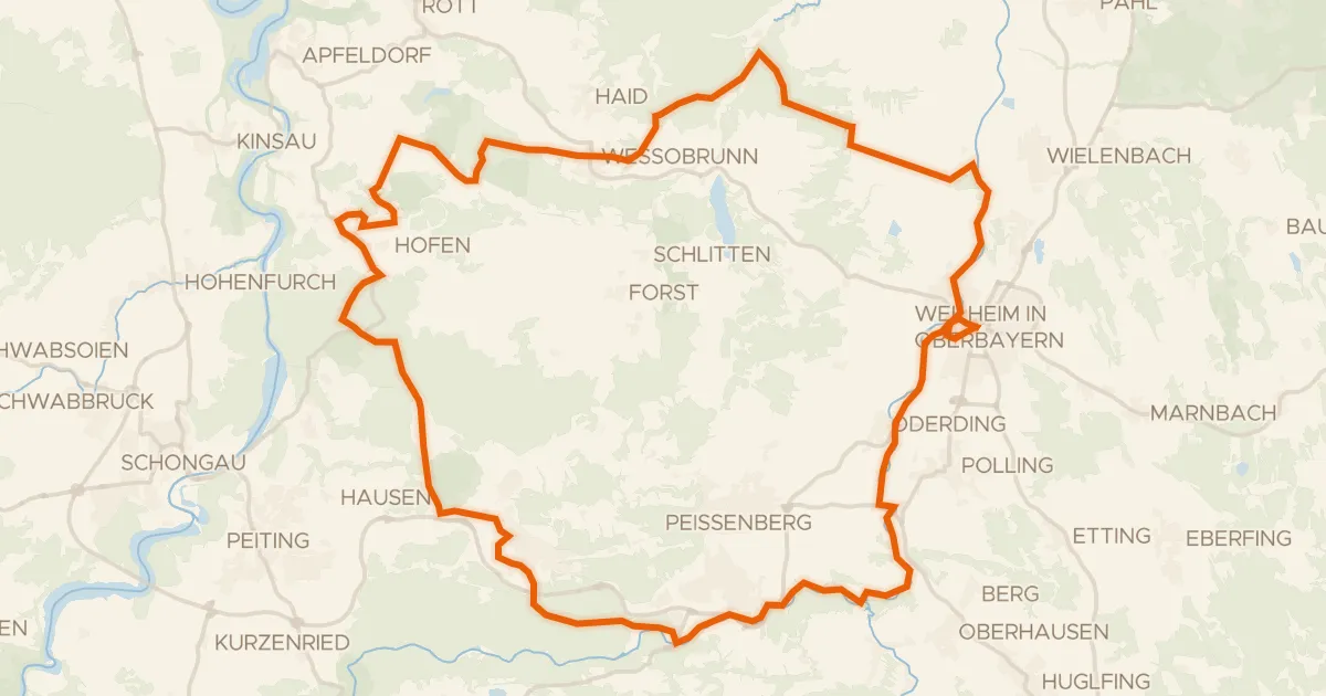
Rondje Schwarzlaichmoor en Rohrmoos
64 km↑ 549 m13 km away
Road bike100% paved
Rondje Schloß Neuegling en Wildseefilz
82 km↑ 928 m24 km away