Back to the librarykm 1–9km 12–15km 20–22km 22–23km 28–29km 33–37km 38–39km 41–42km 43–46km 46–47km 48–48km 48–50km 50–51km 52–53km 56–58
GravelMade by RouteCasterRound trip
Rondje Schloss Ebenzweier en Attersee
Distance
61 km
Ascent
2,257 m
Highest point
936 m
32% paved
Start from your location
Ride there from home: we find the shortest way to the loop and start the loop from there.
The ride
From Weyregg am Attersee the route rolls out past the Attersee lake and on toward the Traunsee, with a castle and a river still ahead. Schloss Ebenzweier and the Aurach river come in that order before the road turns for home. Of the 61.4 km, most run unpaved, and 2257 m of climbing keep the legs honest. Back in Weyregg, the loop closes where it began.
Climbs
Climb 1Cat. 2
8 km at 5.6% · max 32.3%
Climb 2Cat. 3
3.1 km at 6.6% · max 16.7%
Climb 3Cat. 4
2 km at 6.2% · max 15.3%
Climb 4Hill
1.3 km at 5.1% · max 20.9%
Climb 5Hill
0.8 km at 4.4% · max 15.8%
Climb 6Cat. 3
4.1 km at 7.3% · max 28%
Climb 7Hill
1.2 km at 3.9% · max 14.5%
Climb 8Cat. 3
1.2 km at 21.4% · max 40.6%
Climb 9Cat. 3
2.3 km at 11% · max 32.6%
Climb 10Hill
0.9 km at 3.4% · max 8%
Climb 11Hill
0.3 km at 9.2% · max 10.4%
Climb 12Hill
1.6 km at 3% · max 11.7%
Climb 13Hill
0.2 km at 14.6% · max 16.4%
Climb 14Hill
0.9 km at 3.5% · max 10.6%
Climb 15Cat. 4
1.4 km at 10.3% · max 29.5%
Routes nearby
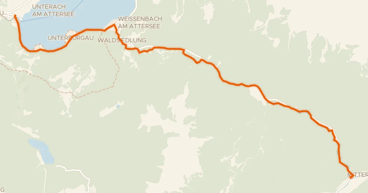
Gravel40% paved
Weißenbachtalweg
20 km↑ 343 m14 km away
Weißenbacher Sattel

Road bike99% paved
Rondje Schloss Kogl en Kobernaußerwald
78 km↑ 1,021 m16 km away

Gravel43% paved
Rondje Schloss Mondsee en Vöckla
61 km↑ 1,670 m20 km away

Road bike99% paved
Rondje Schloss Spaur en Mondsee
74 km↑ 1,044 m25 km away

Gravel33% paved
Rondje Fuschlsee en Wolfgangsee
59 km↑ 1,915 m26 km away

Road bike100% paved
Rondje langs de Traun en de Ager
96 km↑ 1,054 m27 km away