Back to the librarykm 0–3km 3–4km 5–6km 9–13km 14–15km 16–19km 26–27km 31–39km 42–42
GravelMade by RouteCasterRound trip
Rondje Fuschlsee en Wolfgangsee
Distance
59 km
Ascent
1,915 m
Highest point
1,228 m
33% paved
Start from your location
Ride there from home: we find the shortest way to the loop and start the loop from there.
The ride
From Sankt Gilgen you roll out toward the Fuschlsee, then follow the Almbach river onward. Past the castle Jagdschloss Langreith the route climbs, and the 1915 m of elevation gain adds up along the way. The Taugl river leads you on before the Wolfgangsee opens up, and the loop brings you back to Sankt Gilgen.
Climbs
Climb 1Cat. 3
2.6 km at 7.4% · max 14.8%
Climb 2Cat. 3
0.9 km at 17.8% · max 28.1%
Climb 3Hill
1.3 km at 3.1% · max 6.5%
Climb 4Cat. 3
3.9 km at 7.9% · max 38.4%
Climb 5Cat. 4
0.6 km at 19.5% · max 35.1%
Climb 6Cat. 3
2.9 km at 10.3% · max 30.8%
Climb 7Hill
1 km at 6.1% · max 21.1%
Climb 8Cat. 2
8.4 km at 6.2% · max 51.8%
Climb 9Hill
0.2 km at 19.1% · max 21.3%
Routes nearby
Touring73% paved
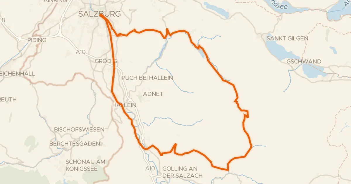
Graveltour Salzburg - Genneralm
92 km↑ 2,077 m15 km away

Gravel43% paved
Rondje Schloss Mondsee en Vöckla
61 km↑ 1,670 m15 km away

Gravel37% paved
Langs de Salzach en de Königsseeache
58 km↑ 2,350 m15 km away
Gravel40% paved
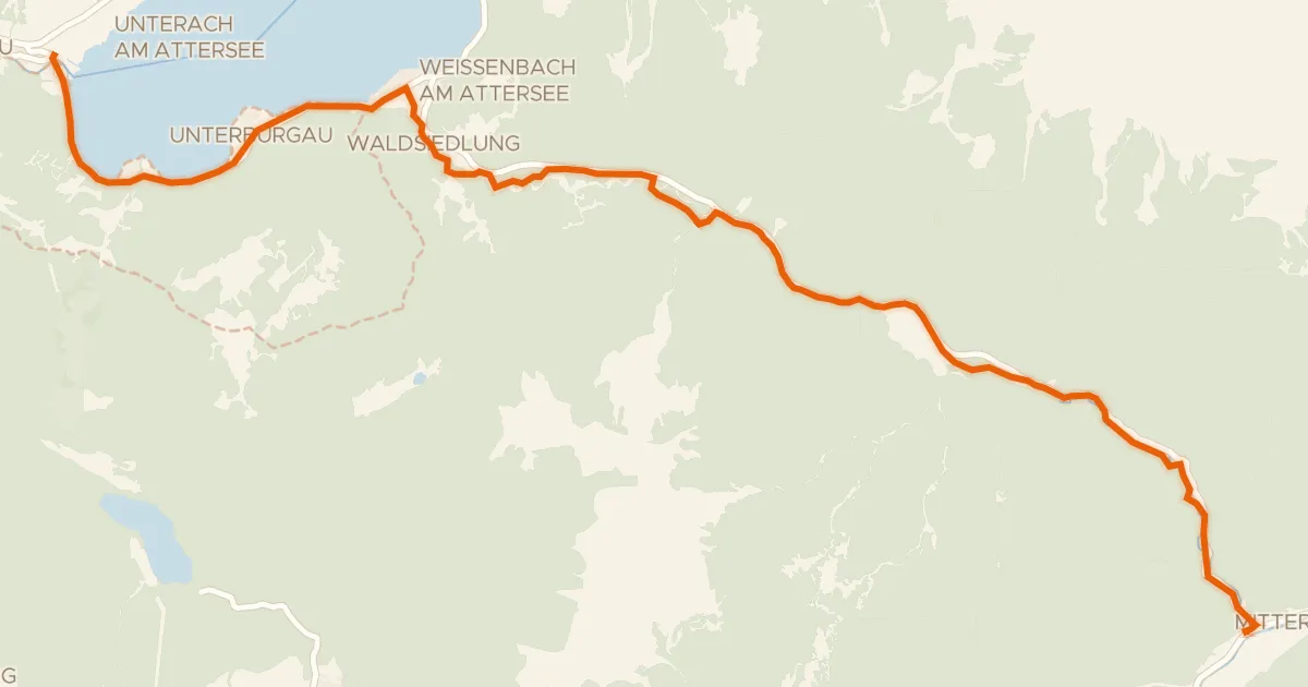
Weißenbachtalweg
20 km↑ 343 m16 km away
Weißenbacher Sattel

Road bike99% paved
Rondje Schloss Spaur en Mondsee
74 km↑ 1,044 m17 km away

Gravel37% paved
Rondje Lammeröfen en Aubach
57 km↑ 2,609 m20 km away