Back to the librarykm 1–4km 9–11km 16–19km 20–20km 22–24km 47–48km 55–63km 68–70
Road bikeMade by RouteCasterRound trip
Rondje Ruine Bernegg en Burgruine Oberes Baliken
Distance
74 km
Ascent
1,567 m
Highest point
960 m
100% paved
Start from your location
Ride there from home: we find the shortest way to the loop and start the loop from there.
The ride
Roll out of Wald ZH and the road starts climbing right away: 74.2 km with 1567 m of elevation gain, all of it on pavement. The route drops past the river at Jona, then climbs to the castle ruin Oberes Baliken before continuing to the ruin at Bernegg. From there it follows the Töss, the Murg and finally the Thur, winding back to Wald ZH where it all began.
Climbs
Climb 1Cat. 3
3.6 km at 4.5% · max 12.9%
Climb 2Hill
1.5 km at 3.2% · max 9.4%
Climb 3Cat. 3
2.6 km at 8.9% · max 29.2%
Climb 4Hill
0.7 km at 6.7% · max 16.8%
SternenbergpassHill
1.8 km at 4.4% · max 14.9%
Climb 6Hill
1.5 km at 3.3% · max 10.2%
OberrickenCat. 3
7.5 km at 3.9% · max 18.7%
Climb 8Hill
1.6 km at 4.6% · max 12.9%
Routes nearby
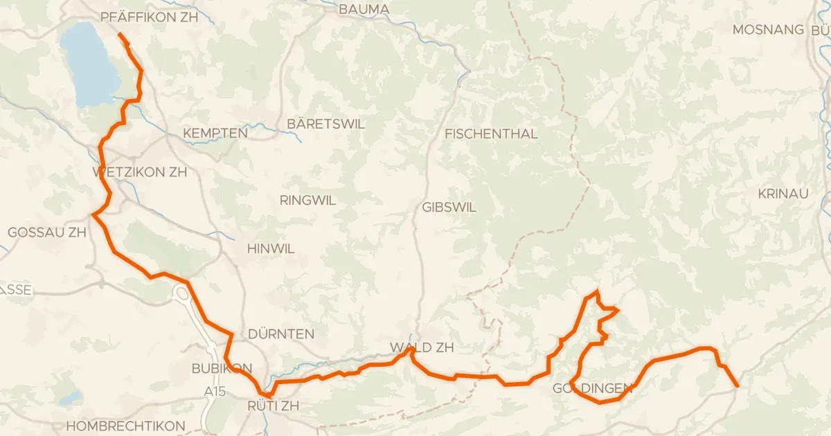
Road bike98% paved
Rheinfall - Zürcher Oberland - Etappe 2
43 km↑ 901 m4 km away
Oberricken · Ricken
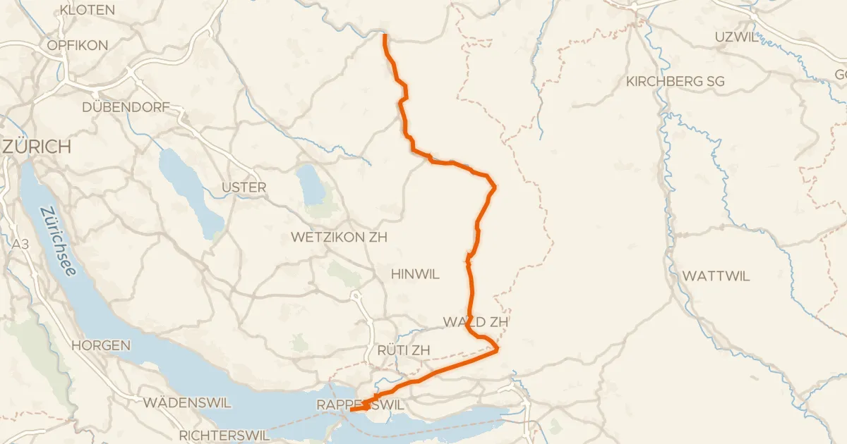
Road bike99% paved
Töss-Jona-Route
41 km↑ 411 m7 km away
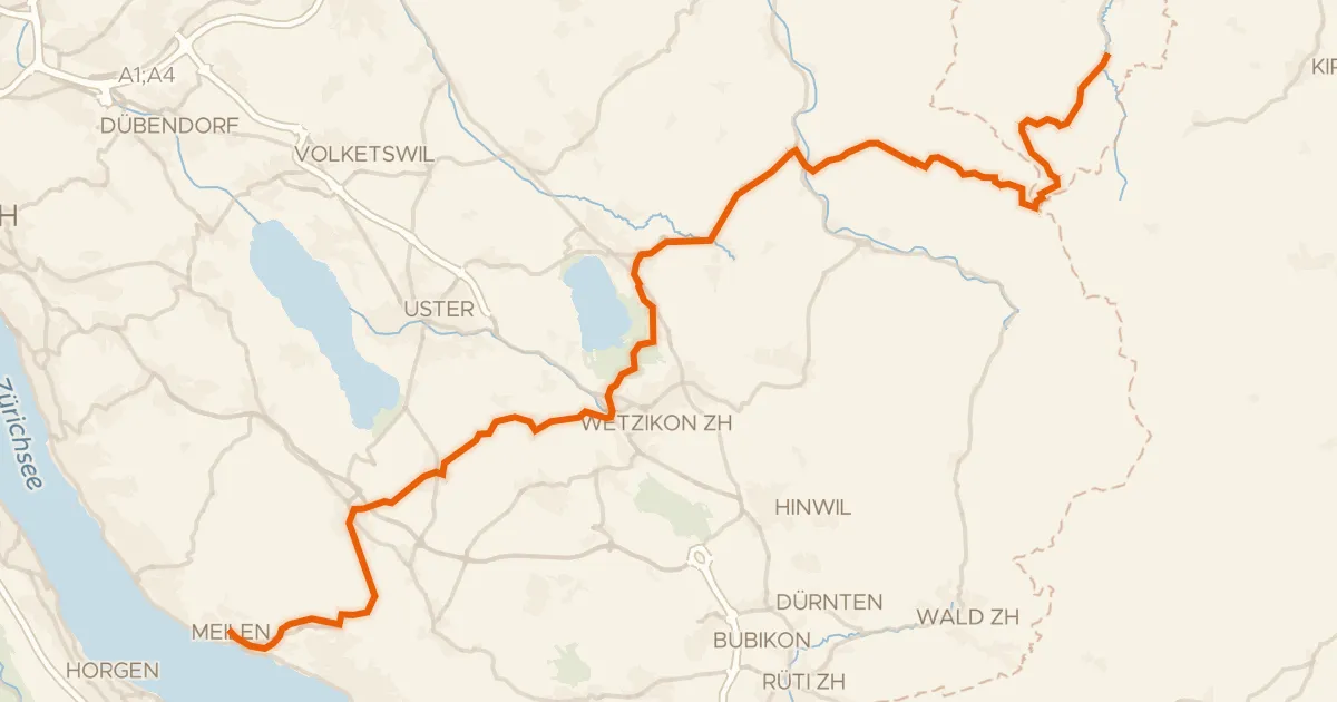
Road bike98% paved
Pilger-Route
47 km↑ 944 m11 km away
Sternenbergpass · Wasserscheide Limmat/Aa

Road bike100% paved
Rondje Töss en Murg
78 km↑ 1,683 m14 km away
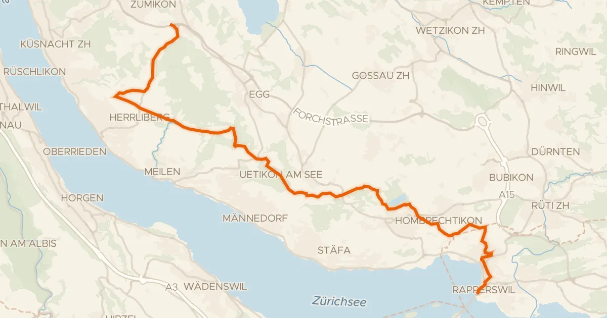
Road bike98% paved
Rapperswil - Forch
29 km↑ 381 m14 km away
Türli · Wasserscheide Limmat/Aa
Road bike96% paved
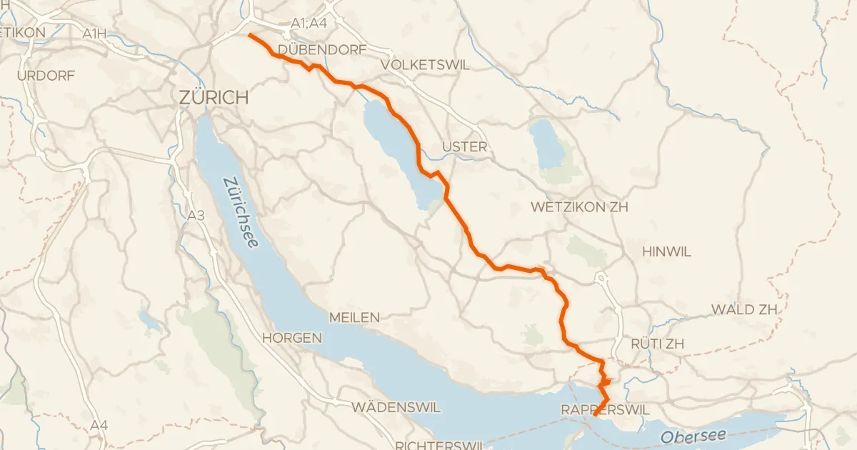
Glatt-Route
35 km↑ 307 m17 km away