Back to the librarykm 5–13km 16–18km 19–20km 22–23km 24–24km 31–37km 41–41km 43–44km 49–50km 53–56km 57–58km 60–60
GravelMade by RouteCasterRound trip
Rondje Roccaccia di Montevitozzo en Fiume Fiora
Distance
60 km
Ascent
1,846 m
Highest point
966 m
14% paved
Start from your location
Ride there from home: we find the shortest way to the loop and start the loop from there.
The ride
From San Giovanni delle Contee you roll out toward the castle of Roccaccia di Montevitozzo, then dive into the Monte Penna nature reserve. Next come the Bosco della SS. Trinità nature reserve and the Fiora river before the Pigelleto nature reserve sends you home. Of the 60.3 km, most runs unpaved, and the route climbs 1846 m along the way.
Climbs
Climb 1Cat. 2
7.9 km at 5.9% · max 22.1%
Climb 2Cat. 4
1.9 km at 5.4% · max 14.5%
Climb 3Hill
0.6 km at 8% · max 15.9%
Climb 4Cat. 4
1.1 km at 11.1% · max 21.2%
Climb 5Hill
0.5 km at 7.7% · max 14.6%
Climb 6Cat. 2
6.7 km at 6.6% · max 17.7%
Climb 7Cat. 4
0.7 km at 16.7% · max 24.7%
Climb 8Hill
0.8 km at 4.9% · max 14.3%
Climb 9Hill
0.7 km at 4.5% · max 8.6%
Climb 10Cat. 4
2.9 km at 4.6% · max 11.1%
Climb 11Hill
1.1 km at 5.2% · max 14%
Climb 12Hill
0.7 km at 7.2% · max 14%
Routes nearby

Gravel24% paved
Rondje Riserva naturale Bosco dei Rocconi en Fiume Albegna
55 km↑ 1,694 m18 km away
Gravel31% paved
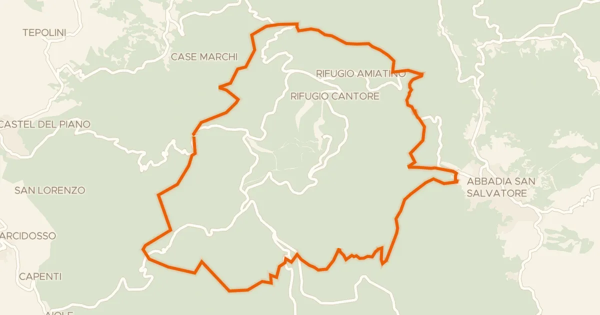
Anello dell'Amiata
29 km↑ 998 m19 km away

Gravel15% paved
Langs de Riserva naturale Pescinello en de Fiume Albegna
74 km↑ 2,427 m27 km away

Road bike100% paved
Rondje Rocca di Ischia di Castro en Lago di Bolsena
70 km↑ 839 m29 km away

Gravel23% paved
Rondje Tuscania en Marta
54 km↑ 654 m32 km away

Road bike100% paved
Rondje Lago di Bolsena en Marta
72 km↑ 714 m37 km away