Back to the librarykm 2–3km 3–5km 8–11km 15–23km 33–34km 36–37km 39–40km 44–45km 50–55
GravelMade by RouteCasterRound trip
Rondje Riserva naturale Bosco dei Rocconi en Fiume Albegna
Distance
55 km
Ascent
1,694 m
Highest point
764 m
24% paved
Start from your location
Ride there from home: we find the shortest way to the loop and start the loop from there.
The ride
Roll out of Poggio Murella and the road soon turns to dirt, with 77% of the route unpaved. You climb for 1694 m of elevation gain, then drop past the Bosco dei Rocconi nature reserve and follow the Albegna river. The loop brings you back to Poggio Murella.
Climbs
Climb 1Cat. 4
0.7 km at 11.6% · max 17.7%
Climb 2Cat. 4
2.5 km at 5% · max 18.4%
Climb 3Cat. 3
3.5 km at 8.6% · max 18%
Climb 4Cat. 2
8.5 km at 5.8% · max 25.9%
Climb 5Cat. 4
1.7 km at 5% · max 15.1%
Climb 6Cat. 4
1.5 km at 6.6% · max 15.2%
Climb 7Hill
0.9 km at 4.1% · max 7.5%
Climb 8Cat. 4
1.1 km at 10.5% · max 15.1%
Climb 9Cat. 3
4.6 km at 5.8% · max 20.8%
Routes nearby

Gravel15% paved
Langs de Riserva naturale Pescinello en de Fiume Albegna
74 km↑ 2,427 m13 km away

Gravel14% paved
Rondje Roccaccia di Montevitozzo en Fiume Fiora
60 km↑ 1,846 m16 km away
Gravel31% paved
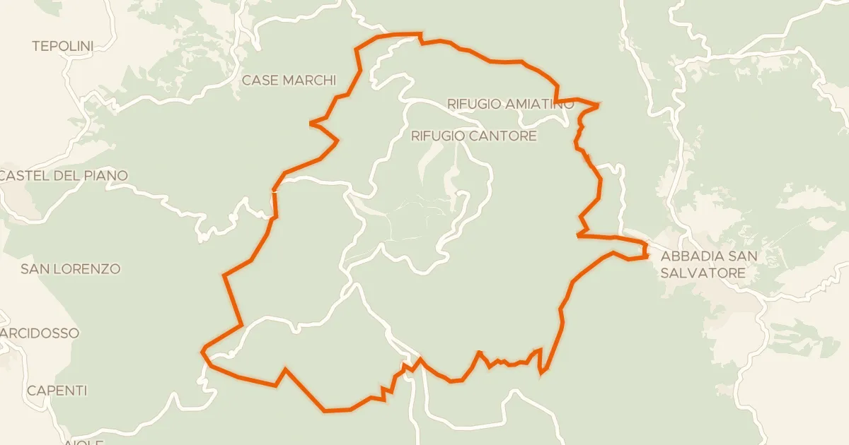
Anello dell'Amiata
29 km↑ 998 m24 km away

Gravel47% paved
Langs de Roccaccia di Montauto en het Lago del Tafone
56 km↑ 915 m27 km away

Road bike100% paved
Langs de Bastione della Rocca en de Laguna di Levante
88 km↑ 531 m29 km away

Road bike100% paved
Rondje Rocca di Ischia di Castro en Lago di Bolsena
70 km↑ 839 m29 km away