Back to the librarykm 52–55km 57–68km 72–73km 74–77km 78–80km 82–85km 90–91
Road bikeMade by RouteCasterRound trip
Rondje Rocca Viscontea en Torrente Arda
Distance
96 km
Ascent
1,450 m
Highest point
836 m
100% paved
Start from your location
Ride there from home: we find the shortest way to the loop and start the loop from there.
The ride
Roll out of Vernasca on a route that keeps castles and rivers taking turns. Past the Rocca Viscontea and the Castello di Cerreto Landi, the road drops to the Chiavenna river and the Torrente Arda before climbing again. The Castello di Contignaco and the Castello di Pellegrino Parmense line the way back to the start. It's 95.5 km, all paved, with 1450 m of climbing to keep the legs honest.
Climbs
Climb 1Cat. 4
3.2 km at 3.2% · max 14.2%
Valico di Sant'AntonioCat. 2
11.2 km at 4.3% · max 23.5%
Climb 3Cat. 4
1.8 km at 7.8% · max 23%
Climb 4Cat. 4
3 km at 5.1% · max 16.2%
Climb 5Cat. 4
2.4 km at 3.4% · max 10.5%
Climb 6Cat. 4
2.8 km at 4.6% · max 18.6%
Climb 7Hill
0.3 km at 8.6% · max 15%
Routes nearby

Gravel17% paved
Langs Castello di Roccalanzona en Castello di Costamezzana
57 km↑ 1,855 m15 km away
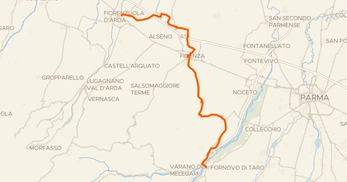
Touring94% paved
Ciclovia Francigena - VFB09
52 km↑ 412 m15 km away
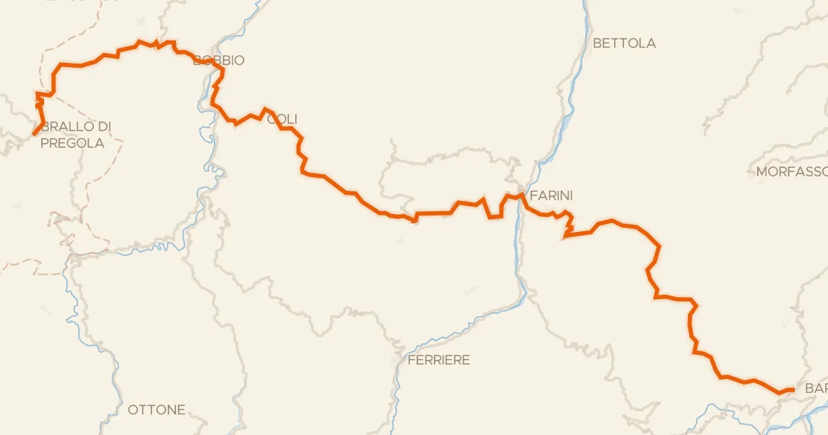
Road bike100% paved
ABT Tappa 4: Brallo di Pregola - Bardi
81 km↑ 2,288 m28 km away
Passo Vallette di Ceci · Sella dei Generali
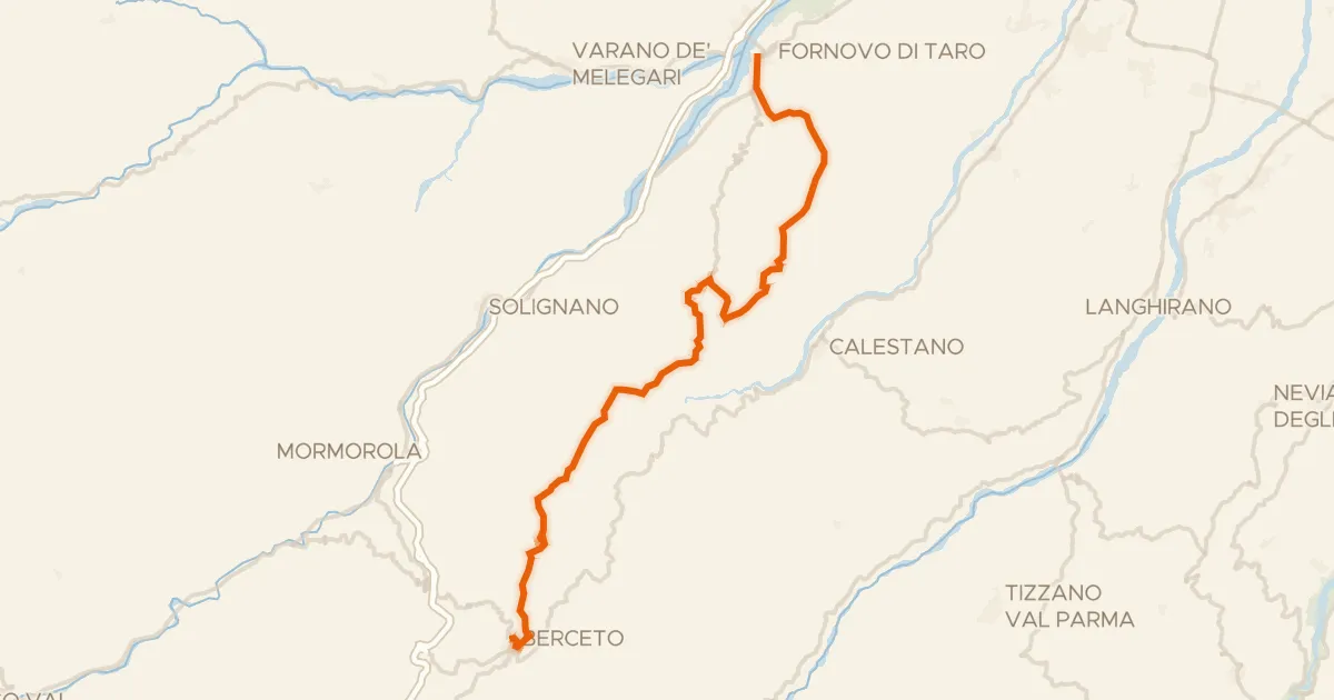
Road bike100% paved
Ciclovia Francigena - VFB10
35 km↑ 1,147 m29 km away
Sella di Monte Marino · Passo di Monte Cassio

Road bike100% paved
Rondje Castello di Bardi en Taro
70 km↑ 1,586 m30 km away
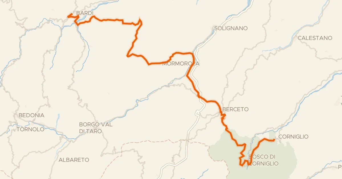
Road bike100% paved
ABT Tappa 5: Bardi - Corniglio
79 km↑ 2,257 m30 km away
Passo del Silara di Marra