Back to the librarykm 0–1km 1–3km 3–10km 12–14km 14–15km 20–27km 28–29km 29–31km 53–54km 58–60
GravelMade by RouteCasterRound trip
Rondje Pizzo di Evigno en Capo Berta
Distance
63 km
Ascent
2,298 m
Highest point
797 m
44% paved
Start from your location
Ride there from home: we find the shortest way to the loop and start the loop from there.
The ride
From Dolcedo the route rolls out to the Torrente Impero river, then climbs toward the Pizzo di Evigno nature reserve. On the way you pass Palazzo Maglione and Palazzo del Parco, two castles, before the Capo Berta nature reserve. Of the 62.9 km, more than half runs unpaved, and the climbing adds up to 2298 m. It all comes back to Dolcedo.
Climbs
Climb 1Cat. 4
1 km at 9.6% · max 21.3%
Climb 2Hill
1.3 km at 4.5% · max 12.6%
Climb 3Cat. 2
6.9 km at 8.5% · max 34.9%
Passo CoppettiCat. 4
1.5 km at 6.6% · max 21%
Climb 5Hill
1 km at 3.5% · max 8.8%
Climb 6Cat. 2
6.9 km at 9.2% · max 46.3%
Climb 7Hill
0.8 km at 5.6% · max 22.4%
Climb 8Cat. 4
2 km at 7.5% · max 23.6%
Climb 9Hill
0.4 km at 7.8% · max 11%
Climb 10Cat. 4
2 km at 7% · max 25%
Routes nearby

Road bike100% paved
Rondje Monte Carpasina en Torrente Argentina
71 km↑ 1,972 m1 km away

Gravel35% paved
Rondje Castello di Ormea en Tanaro
54 km↑ 2,548 m24 km away
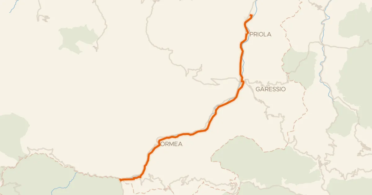
Touring75% paved
Ciclovia del Tanaro
27 km↑ 238 m31 km away

Road bike100% paved
Langs de Reggia di Valcasotto en de Tanaro
80 km↑ 3,234 m40 km away
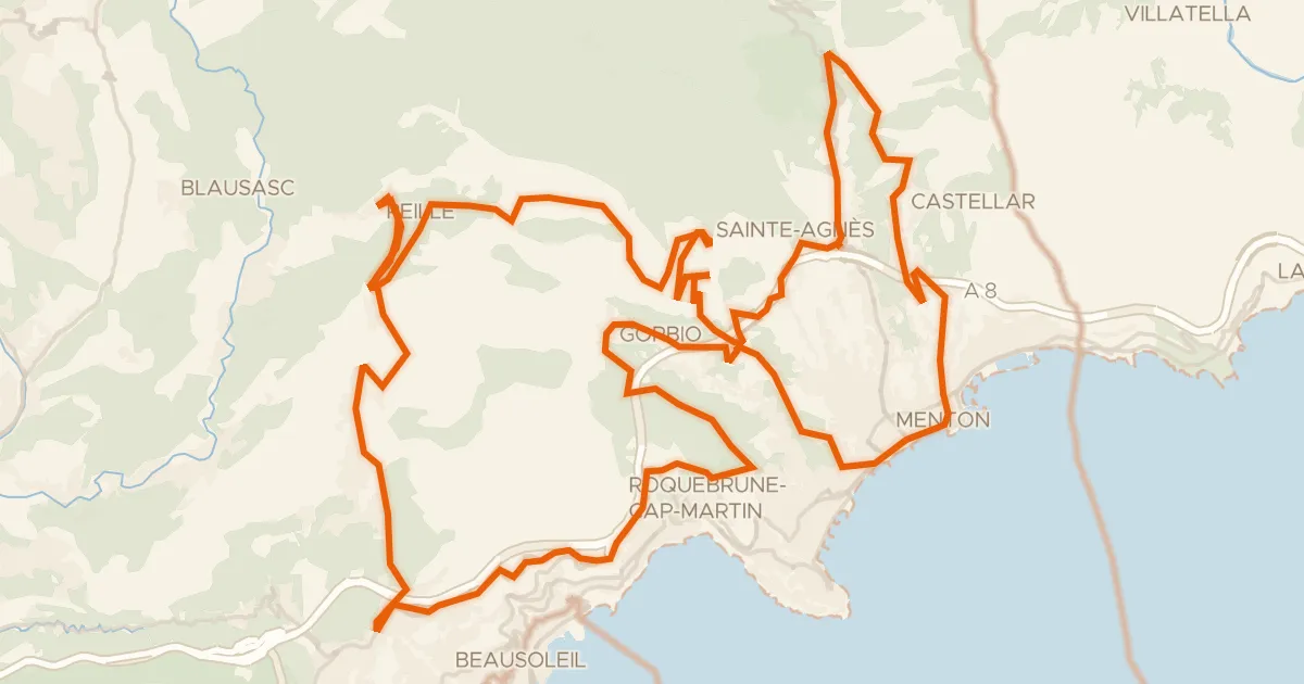
Road bike100% paved
Le défi de la Madone
70 km↑ 2,903 m42 km away
Gajessa · Col de Saint-Pancrace
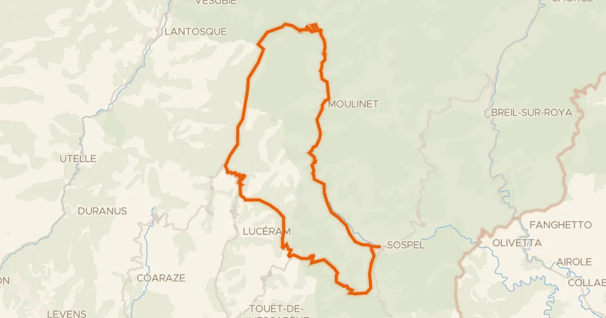
Road bike100% paved
A l'assaut des lacets du Turini - 1
60 km↑ 2,340 m44 km away
Col Saint-Jean · Col de Braus