Back to the librarykm 20–30km 35–36km 40–43km 61–67
Road bikeMade by RouteCasterRound trip
Rondje Parco Regionale dell'Olivo di Venafro en Volturno
Distance
75 km
Ascent
1,097 m
Highest point
492 m
100% paved
Start from your location
Ride there from home: we find the shortest way to the loop and start the loop from there.
The ride
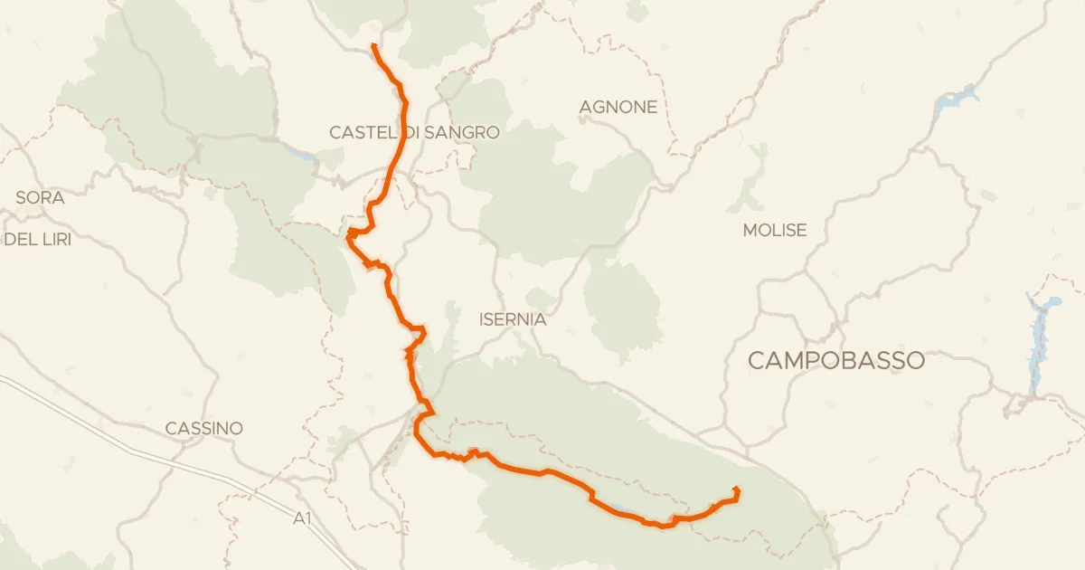
This ride rolls out of Venafro and back again, 74.8 km with 1097 m of climbing along the way. You follow the Volturno river, then the San Bartolomeo, letting the water lead before the road turns upward. Next comes the Parco Regionale dell'Olivo di Venafro, a nature reserve that breaks up the climbing nicely. The whole route is paved, so you can settle in and enjoy the loop from start to finish.
Climbs
Climb 1Cat. 2
10.3 km at 3.2% · max 16.4%
Climb 2Hill
1.1 km at 3.8% · max 9.3%
Climb 3Hill
2.2 km at 3.5% · max 13.3%
Climb 4Cat. 3
5.4 km at 5.3% · max 23.8%
Routes nearby

Road bike100% paved
Rondje Lago del Matese en Parco Nazionale del Matese
74 km↑ 1,498 m22 km away

Road bike100% paved
Rondje Liri en Garigliano
71 km↑ 768 m24 km away

Road bike100% paved
Rondje Castello normanno en Volturno
79 km↑ 1,209 m26 km away
Road bike100% paved
ABT Tappa 20: Rivisondoli - Guardiaregia
126 km↑ 2,409 m26 km away
Sella del Perrone

Road bike100% paved
Rondje Rocca Janula en de Liri
93 km↑ 1,674 m30 km away

Gravel59% paved
Rondje Torre Caetani en Parco dei Monti Aurunci
66 km↑ 2,205 m36 km away