Back to the librarykm 0–4
Road bikeMade by RouteCasterRound trip
Rondje Parco naturale regionale della Lessinia en Fiume Guà
Distance
73 km
Ascent
704 m
Highest point
465 m
99% paved
Start from your location
Ride there from home: we find the shortest way to the loop and start the loop from there.
The ride
Roll out of San Giovanni Ilarione and let the ride carry you into the Lessinia nature reserve, then down along the Guà river and on past the Agno. The loop runs 73.1 km with 704 m of climbing, and the surface is almost entirely paved. Rivers, reserve and hillside metres stack up before the road brings you back to where you started.
Climbs
Passo VignagaCat. 3
3.9 km at 7% · max 17.5%
Routes nearby

Road bike100% paved
Rondje Villa Pisani en Fiume Guà
97 km↑ 966 m13 km away
Touring87% paved
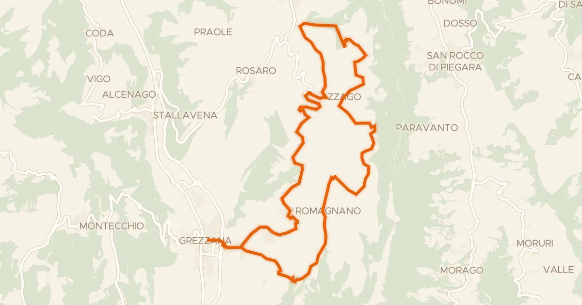
Giro in bici dei monti Castello e Santa Viola
23 km↑ 792 m15 km away

Gravel52% paved
Rondje Villa Bernini Buri en de Adige
54 km↑ 464 m16 km away

Gravel41% paved
Rondje Rocca dei Vescovi en Fiume Guà
57 km↑ 1,423 m17 km away
Touring74% paved
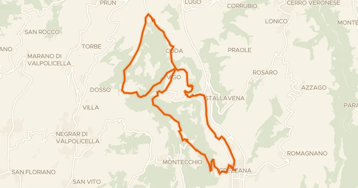
Giro del Monte Comun in bici
25 km↑ 810 m19 km away

Road bike100% paved
Rondje Castello Scaligero en Adige
88 km↑ 190 m22 km away