Back to the librarykm 0–7km 8–10km 11–13
Touring
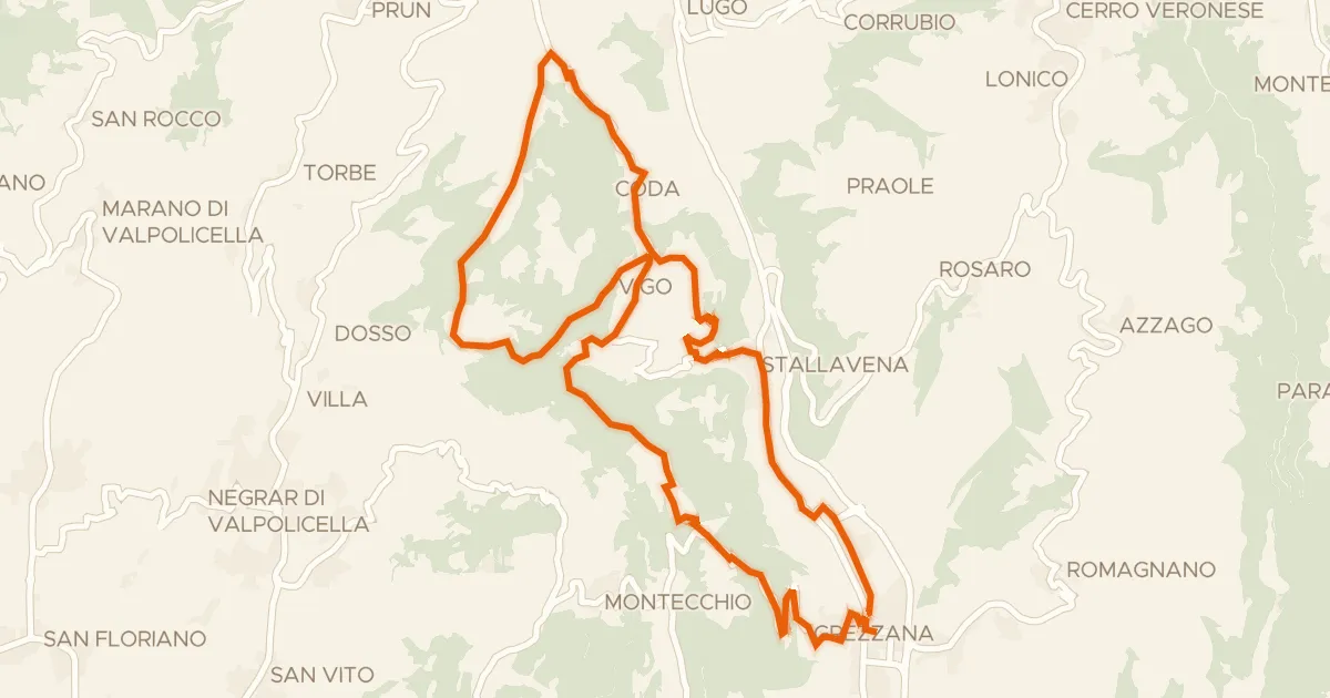
Giro in bici dei monti Castello e Santa Viola
Distance
23 km
Ascent
792 m
Highest point
761 m
87% paved
The ride
A 23.0 km ride with 792 m of climbing, mostly on country roads (48%) and tertiary roads (31%). About 87% is paved and 12% unpaved, with dirt tracks making up 18% of the route. Protected cycleways and bike-network roads cover 19%, and there is 0% on busy roads over 50 km/h without a cycle path. Enjoy the mix of surfaces and the steady climb.
Climbs
Climb 1Cat. 2
6.6 km at 5.7% · max 22.9%
Climb 2Cat. 3
2.1 km at 8% · max 17.2%
Climb 3Cat. 4
2 km at 7.1% · max 12.4%
Routes nearby
Touring74% paved
Giro del Monte Comun in bici
25 km↑ 810 m4 km away
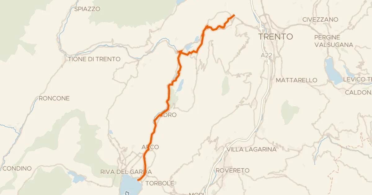
Road bike99% paved
Ciclovia dei laghi
41 km↑ 424 m52 km away
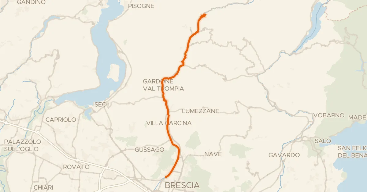
Gravel62% paved
Brescia - Bovegno (Slow Bike)
36 km↑ 739 m63 km away
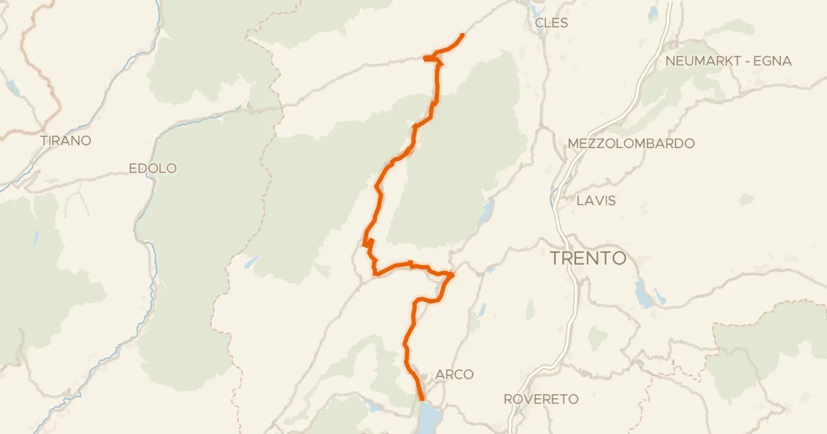
Touring86% paved
DOGA - Dolomiti Garda - Standard Route
112 km↑ 3,087 m68 km away
Passo Daone · Passo Del Ballino
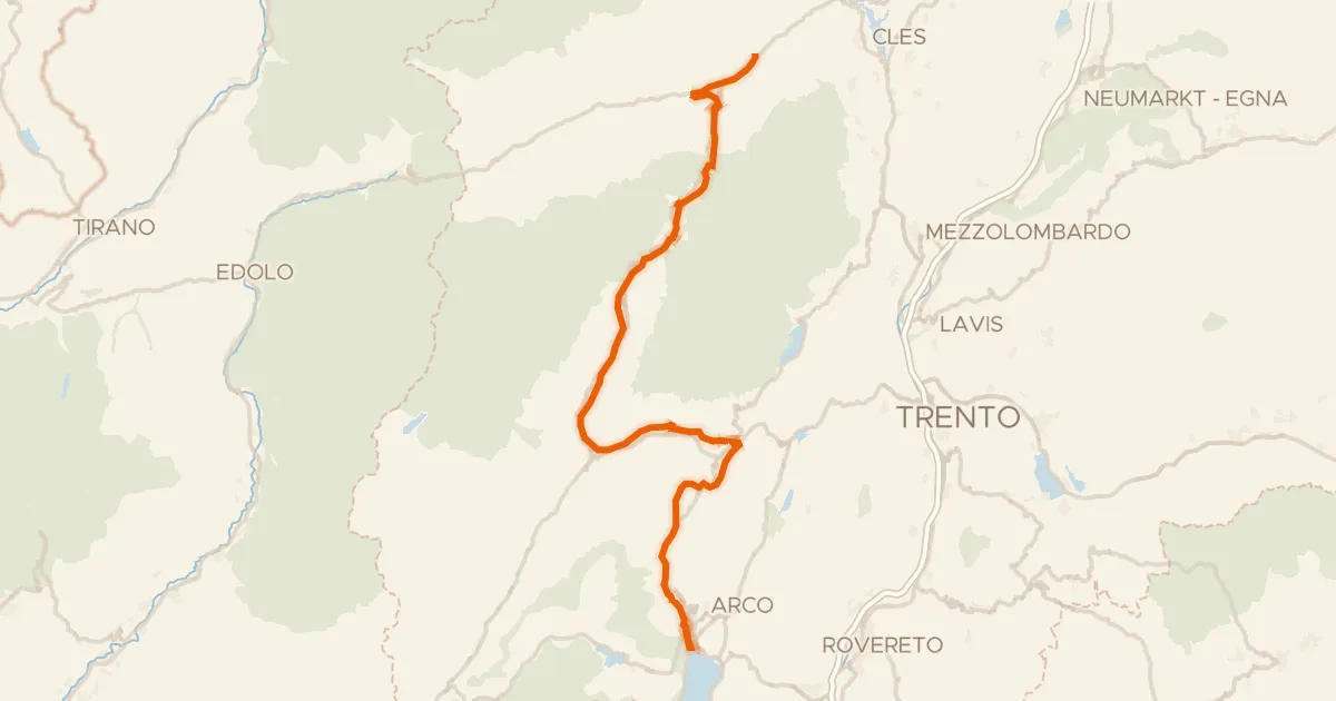
Touring84% paved
DOGA - Dolomiti Garda - Variante Dolce Vita
108 km↑ 2,489 m68 km away
Passo Del Ballino
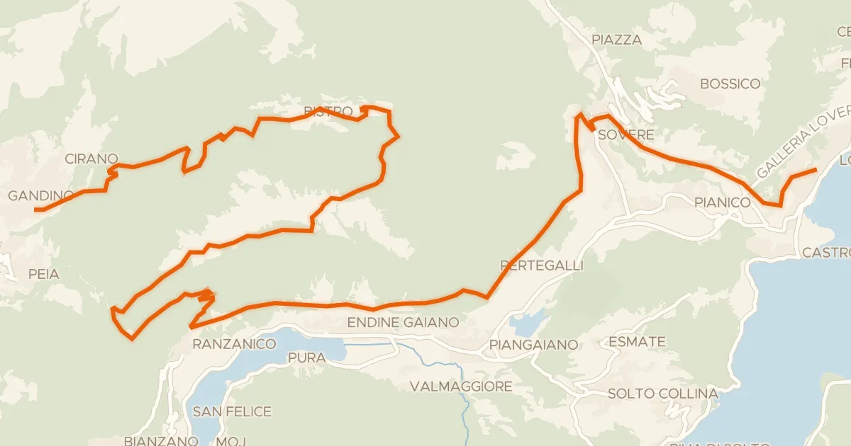
Gravel69% paved
Alta Via delle Grazie - Tappa 7
37 km↑ 1,733 m86 km away
Forcella di Ranzanico