Back to the librarykm 9–10km 48–49
GravelMade by RouteCasterRound trip
Rondje Parco Naturale della Maremma en Fiume Ombrone
Distance
62 km
Ascent
785 m
Highest point
260 m
40% paved
Start from your location
Ride there from home: we find the shortest way to the loop and start the loop from there.
The ride
From Rispescia you roll out for 62.0 km, with 785 m of climbing along the way. The route leads past Parco Naturale della Maremma, a nature reserve, before following the Fiume Ombrone river. With 60% unpaved, there is plenty of variety under your wheels. Then it's back to where you started in Rispescia.
Climbs
Climb 1Hill
0.8 km at 8.5% · max 17.7%
Climb 2Hill
0.7 km at 5.1% · max 13.7%
Routes nearby

Gravel15% paved
Langs de Riserva naturale Pescinello en de Fiume Albegna
74 km↑ 2,427 m25 km away

Road bike100% paved
Langs de Bastione della Rocca en de Laguna di Levante
88 km↑ 531 m25 km away

Gravel24% paved
Rondje Riserva naturale Bosco dei Rocconi en Fiume Albegna
55 km↑ 1,694 m34 km away

Road bike100% paved
Langs Castello di Monteregio en Fiume Bruna
79 km↑ 1,456 m37 km away
Gravel31% paved
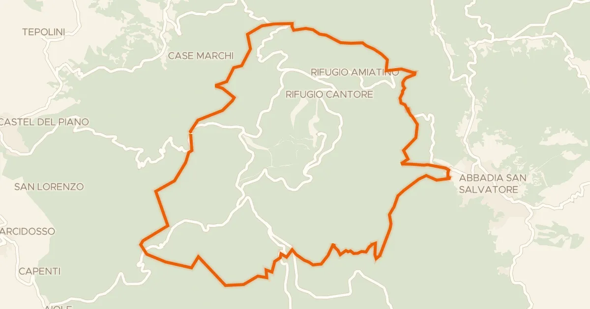
Anello dell'Amiata
29 km↑ 998 m44 km away

Gravel47% paved
Langs de Roccaccia di Montauto en het Lago del Tafone
56 km↑ 915 m46 km away